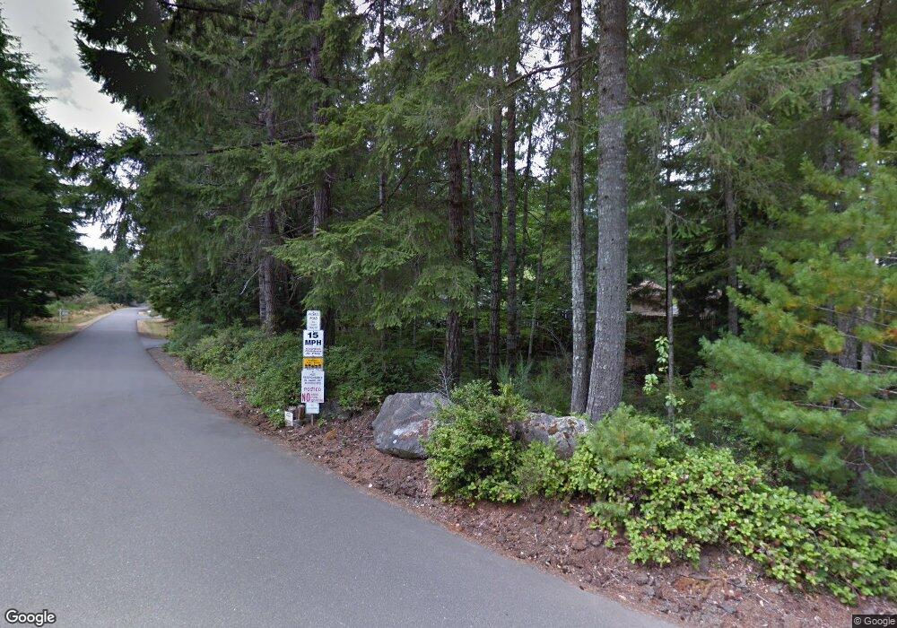
Estimated Value: $527,238 - $681,000
3
Beds
2
Baths
1,656
Sq Ft
$358/Sq Ft
Est. Value
About This Home
This home is located at 20 E Vuecrest Dr, Union, WA 98592 and is currently estimated at $593,310, approximately $358 per square foot. 20 E Vuecrest Dr is a home located in Mason County with nearby schools including Hood Canal Elementary/Junior High School.
Ownership History
Date
Name
Owned For
Owner Type
Purchase Details
Closed on
May 4, 2012
Sold by
Holloway Dale C and Holloway James S
Bought by
Kitts James D and Kilts Julie Ann
Current Estimated Value
Home Financials for this Owner
Home Financials are based on the most recent Mortgage that was taken out on this home.
Original Mortgage
$171,000
Outstanding Balance
$118,199
Interest Rate
3.85%
Mortgage Type
New Conventional
Estimated Equity
$475,111
Create a Home Valuation Report for This Property
The Home Valuation Report is an in-depth analysis detailing your home's value as well as a comparison with similar homes in the area
Purchase History
| Date | Buyer | Sale Price | Title Company |
|---|---|---|---|
| Kitts James D | $180,000 | First American Title |
Source: Public Records
Mortgage History
| Date | Status | Borrower | Loan Amount |
|---|---|---|---|
| Open | Kitts James D | $171,000 |
Source: Public Records
Tax History
| Year | Tax Paid | Tax Assessment Tax Assessment Total Assessment is a certain percentage of the fair market value that is determined by local assessors to be the total taxable value of land and additions on the property. | Land | Improvement |
|---|---|---|---|---|
| 2025 | $2,981 | $458,835 | $62,215 | $396,620 |
| 2024 | $2,981 | $465,600 | $66,190 | $399,410 |
| 2023 | $3,027 | $418,615 | $55,160 | $363,455 |
| 2022 | $2,919 | $315,945 | $34,475 | $281,470 |
| 2021 | $2,749 | $315,945 | $34,475 | $281,470 |
| 2020 | $2,165 | $266,390 | $33,470 | $232,920 |
| 2018 | $2,241 | $211,355 | $38,350 | $173,005 |
| 2017 | $1,876 | $211,450 | $38,445 | $173,005 |
| 2016 | $1,853 | $185,295 | $34,855 | $150,440 |
| 2015 | $1,864 | $187,670 | $35,930 | $151,740 |
| 2014 | -- | $186,370 | $35,930 | $150,440 |
| 2013 | -- | $215,440 | $65,000 | $150,440 |
Source: Public Records
Map
Nearby Homes
- 0 E Gerbing View Dr Unit NWM2372859
- 641 E Hyland Dr
- 160 E Spruce St
- 0 XXXX E Dalby Rd
- 130 E Tacoma St
- 221 E 5th St
- 211 E E Linda Vista Ct
- 1 Rd
- 40 E Paint Brush Ln
- 100 E Fir Tree Ln
- 121 E Fir Tree Ln
- 971 E Manzanita Dr
- 121 E Country Club Dr E
- 320 E 4th St
- 0 Sprague Ave Unit NWM2432045
- 0 Sprague Ave Unit NWM2432096
- 91 E Jack Pine Ln
- 1250 E Vine Maple Ln
- 5060 E State Route 106
- 0 E Mason Ave
- 8 Overbrook Ln
- 50 E Overlook Place
- 50 E Overlook Place
- 0 E Overlook Place
- 50 E Vuecrest Dr
- 0 XXX E Overlook Place
- 0 XXX E Overlook Place
- 70 E Overlook Place
- 31 E Vuecrest Dr
- 60 E Vuecrest Dr
- 71 E Overlook Place
- 21 E Vuecrest Dr
- 15 E Vuecrest Dr
- 90 E Overlook Place
- 80 E Blossom Place
- 80 E Blossom Place
- 91 E Overlook Place
- 60 E Blossom Place
- 51 E Vuecrest Dr
- 100 E Overlook Place
