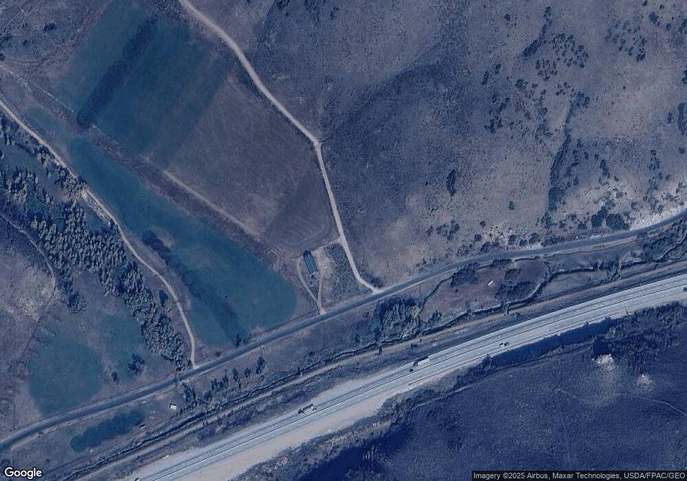
20 E Wanship Rd Wanship, UT 84017
Estimated Value: $772,000 - $1,214,000
3
Beds
1
Bath
1,810
Sq Ft
$520/Sq Ft
Est. Value
About This Home
This home is located at 20 E Wanship Rd, Wanship, UT 84017 and is currently estimated at $940,505, approximately $519 per square foot. 20 E Wanship Rd is a home located in Summit County with nearby schools including North Summit Middle School, North Summit Elementary School, and North Summit High School.
Ownership History
Date
Name
Owned For
Owner Type
Purchase Details
Closed on
Oct 17, 2007
Sold by
Blue Sky Corporatin Ranch Lc
Bought by
Blue Sky Corpo Ranch Llc
Current Estimated Value
Purchase Details
Closed on
Jul 25, 2006
Sold by
Scoggan Rick Ll and Scoggan Roxanne
Bought by
Blue Sky Corporate Ranch Llc
Purchase Details
Closed on
Jun 23, 2006
Sold by
Washington Mutual Bank
Bought by
Jns Real Estate Inc
Purchase Details
Closed on
Oct 10, 2005
Sold by
Downard Marvin B
Bought by
Blue Sky Corporate Ranch Llc
Create a Home Valuation Report for This Property
The Home Valuation Report is an in-depth analysis detailing your home's value as well as a comparison with similar homes in the area
Purchase History
| Date | Buyer | Sale Price | Title Company |
|---|---|---|---|
| Blue Sky Corpo Ranch Llc | -- | None Available | |
| Blue Sky Corporate Ranch Llc | -- | None Available | |
| Jns Real Estate Inc | -- | None Available | |
| Blue Sky Corporate Ranch Llc | -- | None Available |
Source: Public Records
Tax History
| Year | Tax Paid | Tax Assessment Tax Assessment Total Assessment is a certain percentage of the fair market value that is determined by local assessors to be the total taxable value of land and additions on the property. | Land | Improvement |
|---|---|---|---|---|
| 2025 | $4,570 | $846,469 | $321,024 | $525,445 |
| 2024 | $4,613 | $880,602 | $281,024 | $599,578 |
| 2023 | $4,613 | $830,602 | $231,024 | $599,578 |
| 2022 | $3,483 | $629,724 | $231,024 | $398,700 |
| 2021 | $3,122 | $461,996 | $141,024 | $320,972 |
| 2020 | $2,998 | $421,954 | $141,024 | $280,930 |
| 2019 | $3,434 | $421,954 | $141,024 | $280,930 |
| 2018 | $3,146 | $386,623 | $141,024 | $245,599 |
| 2017 | $3,011 | $386,623 | $141,024 | $245,599 |
| 2016 | $2,773 | $334,455 | $126,024 | $208,431 |
| 2015 | $2,904 | $334,455 | $0 | $0 |
| 2013 | $3,072 | $334,455 | $0 | $0 |
Source: Public Records
Map
Nearby Homes
- 30031 Old Lincoln Hwy
- 2070 S State Road 32
- 29706 Old Lincoln Hwy
- 353 Green Hill Ln Unit 1
- 1802 Silver Sagebrush Dr Unit 29
- 1797 Silver Sagebrush Dr Unit 26
- 1796 Silver Sagebrush Dr Unit 28
- 2650 S Lakeside Dr
- 2711 Cottonwood Dr
- 2887 Cottonwood Dr
- 1167 Trail Ridge Dr Unit 8
- 1092 Trail Ridge Dr
- 2330 Bobcat Ln Unit 23
- 2484 Deer Crest Dr Unit 29
- 3853 Rockport Rd
- 3100 Spring Hill
- 1800 Bridge Hollow Dr
- 1362 Old Lincoln Hwy
- 1501 Oak Hvn Ln
- 1501 Oakhaven Ln
- 30016 Old Lincoln Hwy
- 0 S Old Lincoln Hwy Unit 9968627
- 0 S Old Lincoln Hwy Unit 12001195
- 0 S Old Lincoln Hwy Unit 9973705
- 0 S Old Lincoln Hwy Unit 9981781
- 0 S Old Lincoln Hwy Unit 11400206
- 30 E Wanship Rd
- 0 No Address Unit 9949373
- 53 Aspenview Dr
- 0 123 Unit 9973738
- 0 0 Unit 9987093
- 144 Beartoothridge
- 0 Unnassigned Unit 9992076
- 0 No Address Unit 11404124
- 2071 S State Road 32
- 30042 Old Lincoln Hwy
- 2050 S 50 E
- 0 Main Unit 9988734
- 44 E Wanship Rd
- 44 E Wanship
