20 Elmwood Cir Cotuit, MA 02635
Cotuit NeighborhoodEstimated Value: $638,000 - $721,000
3
Beds
2
Baths
1,191
Sq Ft
$573/Sq Ft
Est. Value
About This Home
This home is located at 20 Elmwood Cir, Cotuit, MA 02635 and is currently estimated at $682,529, approximately $573 per square foot. 20 Elmwood Cir is a home located in Barnstable County with nearby schools including West Villages Elementary School, Barnstable United Elementary School, and Barnstable Intermediate School.
Ownership History
Date
Name
Owned For
Owner Type
Purchase Details
Closed on
Dec 1, 2010
Sold by
Ferrante Charles R
Bought by
Wells Michael D and Wells Diana R
Current Estimated Value
Home Financials for this Owner
Home Financials are based on the most recent Mortgage that was taken out on this home.
Original Mortgage
$251,750
Outstanding Balance
$165,026
Interest Rate
4.22%
Mortgage Type
Purchase Money Mortgage
Estimated Equity
$517,503
Purchase Details
Closed on
Jan 25, 2007
Sold by
Ferrante Helen F and Ferrante Helen P
Bought by
Ferrante Charles R
Purchase Details
Closed on
Feb 16, 2006
Sold by
Scaldini-Klimm Dolores and Klimm John C
Bought by
Ferrante Helen P and Ferrante Helen F
Home Financials for this Owner
Home Financials are based on the most recent Mortgage that was taken out on this home.
Original Mortgage
$260,000
Interest Rate
6.23%
Mortgage Type
Purchase Money Mortgage
Create a Home Valuation Report for This Property
The Home Valuation Report is an in-depth analysis detailing your home's value as well as a comparison with similar homes in the area
Home Values in the Area
Average Home Value in this Area
Purchase History
| Date | Buyer | Sale Price | Title Company |
|---|---|---|---|
| Wells Michael D | $265,000 | -- | |
| Ferrante Charles R | -- | -- | |
| Ferrante Helen P | $325,000 | -- |
Source: Public Records
Mortgage History
| Date | Status | Borrower | Loan Amount |
|---|---|---|---|
| Open | Wells Michael D | $251,750 | |
| Previous Owner | Ferrante Helen P | $260,000 | |
| Previous Owner | Ferrante Helen P | $150,000 |
Source: Public Records
Tax History Compared to Growth
Tax History
| Year | Tax Paid | Tax Assessment Tax Assessment Total Assessment is a certain percentage of the fair market value that is determined by local assessors to be the total taxable value of land and additions on the property. | Land | Improvement |
|---|---|---|---|---|
| 2025 | $5,117 | $612,800 | $252,400 | $360,400 |
| 2024 | $4,671 | $592,800 | $252,400 | $340,400 |
| 2023 | $4,472 | $534,300 | $229,900 | $304,400 |
| 2022 | $4,278 | $413,700 | $159,500 | $254,200 |
| 2021 | $4,168 | $377,500 | $162,000 | $215,500 |
| 2020 | $4,399 | $375,700 | $174,200 | $201,500 |
| 2019 | $4,339 | $365,200 | $184,600 | $180,600 |
| 2018 | $4,391 | $369,600 | $215,000 | $154,600 |
| 2017 | $4,275 | $362,300 | $215,000 | $147,300 |
| 2016 | $4,178 | $363,000 | $215,700 | $147,300 |
| 2015 | -- | $311,100 | $166,300 | $144,800 |
Source: Public Records
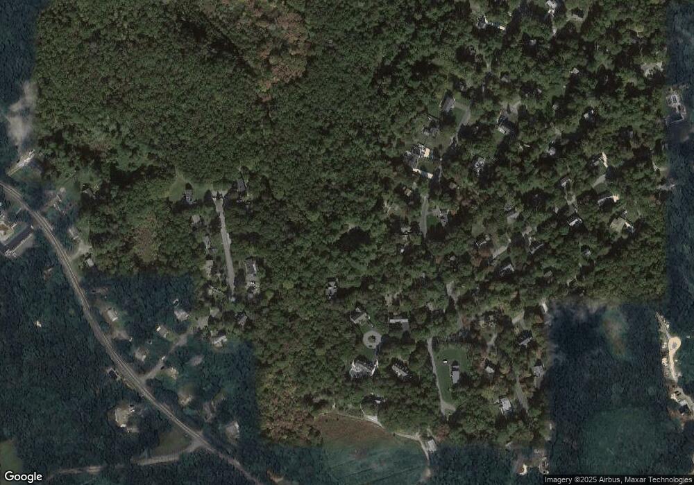
Map
Nearby Homes
- 75 Bob White Run
- 4701 Falmouth Rd
- 783
- 6 Mayfair Ct
- 6 Mayfair Ct Unit 6
- 30 Windsor Point
- 170 Forest Hills Rd
- 4 Bishops Park
- 226 Dunrobin Rd
- 5 Darby Point Unit 5
- 220 Dunrobin Rd
- 16 Spring Brook Ln
- 22 Stratford Ridge Unit 22
- 70 Cape Dr Unit 14D
- 70 Cape Dr Unit 11D
- 70 Cape Dr Unit 11D
- 295 Pheasant Hill Cir
- 95 Brittany Dr
- 45 Pequot Rd
- 235 Main St
- 15 Elmwood Cir
- 1 Elmwood Cir
- 3 Elmwood Cir
- 40 Melissa Ln
- 40 Melissa Ln
- 155 Sandalwood Dr
- 131 Sandalwood Dr
- 24 Melissa Ln
- 41 Meadow Haven Dr
- 29 Meadow Haven Dr
- 25 Meadow Haven Dr
- 148 Sandalwood Dr
- 169 Sandalwood Dr
- 8 Curlew Way
- 117 Sandalwood Dr
- 47 Meadow Haven Dr
- 164 Sandalwood Dr
- 39 Melissa Ln
- 21 Meadow Haven Dr
- 16 Curlew Way