20 Ferry Rd Methuen, MA 01844
The East End NeighborhoodEstimated Value: $597,000 - $672,902
4
Beds
3
Baths
2,300
Sq Ft
$277/Sq Ft
Est. Value
About This Home
This home is located at 20 Ferry Rd, Methuen, MA 01844 and is currently estimated at $635,976, approximately $276 per square foot. 20 Ferry Rd is a home located in Essex County with nearby schools including Methuen High School and Community Day Charter Public School - Gateway.
Ownership History
Date
Name
Owned For
Owner Type
Purchase Details
Closed on
Jul 31, 2017
Sold by
Kuznetsova Natalya
Bought by
Amandor Nelson Y
Current Estimated Value
Home Financials for this Owner
Home Financials are based on the most recent Mortgage that was taken out on this home.
Original Mortgage
$288,000
Outstanding Balance
$239,989
Interest Rate
3.91%
Mortgage Type
New Conventional
Estimated Equity
$395,987
Purchase Details
Closed on
Aug 25, 2016
Sold by
Summers Crossing Llc
Bought by
Kuznetsova Natalya
Home Financials for this Owner
Home Financials are based on the most recent Mortgage that was taken out on this home.
Original Mortgage
$328,500
Interest Rate
3.42%
Mortgage Type
New Conventional
Create a Home Valuation Report for This Property
The Home Valuation Report is an in-depth analysis detailing your home's value as well as a comparison with similar homes in the area
Home Values in the Area
Average Home Value in this Area
Purchase History
| Date | Buyer | Sale Price | Title Company |
|---|---|---|---|
| Amandor Nelson Y | $360,000 | -- | |
| Kuznetsova Natalya | $365,000 | -- |
Source: Public Records
Mortgage History
| Date | Status | Borrower | Loan Amount |
|---|---|---|---|
| Open | Amandor Nelson Y | $288,000 | |
| Previous Owner | Kuznetsova Natalya | $328,500 |
Source: Public Records
Tax History
| Year | Tax Paid | Tax Assessment Tax Assessment Total Assessment is a certain percentage of the fair market value that is determined by local assessors to be the total taxable value of land and additions on the property. | Land | Improvement |
|---|---|---|---|---|
| 2025 | $5,679 | $536,800 | $0 | $536,800 |
| 2024 | $5,610 | $516,600 | $0 | $516,600 |
| 2023 | $5,455 | $466,200 | $0 | $466,200 |
| 2022 | $5,097 | $390,600 | $0 | $390,600 |
| 2021 | $5,455 | $413,600 | $0 | $413,600 |
| 2020 | $4,705 | $350,100 | $0 | $350,100 |
| 2019 | $4,747 | $334,500 | $0 | $334,500 |
| 2018 | $5,097 | $357,200 | $0 | $357,200 |
| 2017 | $5,016 | $342,400 | $0 | $342,400 |
| 2016 | $5,124 | $346,000 | $0 | $346,000 |
| 2015 | $5,079 | $347,900 | $0 | $347,900 |
Source: Public Records
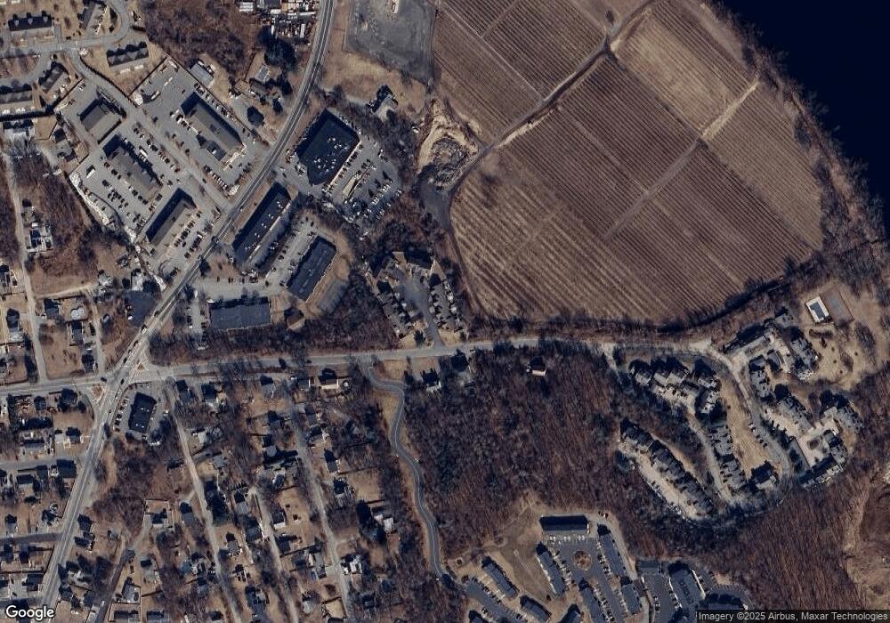
Map
Nearby Homes
- 17 Ferry Rd
- 35 Christopher Dr
- 27 Russell Farm Dr
- 5 Pilgrim Cir Unit C
- 60 Ames St
- 111 Ferry Rd Unit 111
- 105 Ferry Rd
- 41 Brookdale Ave
- 183 Farrwood Dr
- 86 Comet Rd
- 30 Anderson Dr
- 403 Farrwood Dr
- 128 Pleasant Valley St
- 660 River St
- 26 Birch Ave
- 647 S Main St Unit B
- 68 Ashford St
- 80/88 River St
- 21 Oak St Unit A
- 2 Sequoia Dr Unit 2
- 24 Ferry Rd
- 22 Ferry Rd
- 18 Ferry Rd
- 16 Ferry Rd
- 14 Ferry Rd
- 12 Ferry Rd
- 10 Ferry Rd
- 8 Ferry Rd
- 6 Ferry Rd
- 4 Ferry Rd
- 22 Ferry Rd Unit 22
- 14 Ferry Rd Unit 14
- 22 Ferry Rd Unit 20
- 10 Ferry Rd Unit 10
- 12 Ferry Rd Unit 12
- 18 Ferry Rd Unit 18
- 8 Ferry Rd Unit 8
- 20 Ferry Rd Unit 20
- 14 Ferry Rd
- 14 Ferry Rd Unit 7
Your Personal Tour Guide
Ask me questions while you tour the home.