20 Forest Ln Hopkinton, MA 01748
Estimated Value: $587,000 - $645,000
2
Beds
3
Baths
1,651
Sq Ft
$374/Sq Ft
Est. Value
About This Home
This home is located at 20 Forest Ln, Hopkinton, MA 01748 and is currently estimated at $617,197, approximately $373 per square foot. 20 Forest Ln is a home located in Middlesex County with nearby schools including Elmwood Elementary School, Hopkins Elementary School, and Hopkinton Middle School.
Ownership History
Date
Name
Owned For
Owner Type
Purchase Details
Closed on
Mar 11, 2008
Sold by
Kilduff Kathleen C
Bought by
Lucking Maarie P
Current Estimated Value
Purchase Details
Closed on
Jun 21, 2000
Sold by
Hayden James D and Hayden Martha L
Bought by
Kilduff Kathleen C
Purchase Details
Closed on
Feb 18, 1998
Sold by
Munro Allen and Munro Cecilia
Bought by
Hayden James D and Hayden Martha L
Purchase Details
Closed on
Dec 16, 1993
Sold by
Lck Corp
Bought by
Munro Allen and Munro Cecilia
Create a Home Valuation Report for This Property
The Home Valuation Report is an in-depth analysis detailing your home's value as well as a comparison with similar homes in the area
Home Values in the Area
Average Home Value in this Area
Purchase History
| Date | Buyer | Sale Price | Title Company |
|---|---|---|---|
| Lucking Maarie P | $335,000 | -- | |
| Kilduff Kathleen C | $286,500 | -- | |
| Hayden James D | $225,000 | -- | |
| Munro Allen | $172,100 | -- |
Source: Public Records
Mortgage History
| Date | Status | Borrower | Loan Amount |
|---|---|---|---|
| Open | Munro Allen | $170,000 | |
| Previous Owner | Munro Allen | $43,000 | |
| Previous Owner | Munro Allen | $179,500 |
Source: Public Records
Tax History Compared to Growth
Tax History
| Year | Tax Paid | Tax Assessment Tax Assessment Total Assessment is a certain percentage of the fair market value that is determined by local assessors to be the total taxable value of land and additions on the property. | Land | Improvement |
|---|---|---|---|---|
| 2025 | $7,547 | $532,200 | $0 | $532,200 |
| 2024 | $6,539 | $447,600 | $0 | $447,600 |
| 2023 | $6,700 | $423,800 | $0 | $423,800 |
| 2022 | $6,574 | $386,000 | $0 | $386,000 |
| 2021 | $6,314 | $369,700 | $0 | $369,700 |
| 2020 | $6,112 | $363,400 | $0 | $363,400 |
| 2019 | $6,010 | $350,000 | $0 | $350,000 |
| 2018 | $5,675 | $335,800 | $0 | $335,800 |
| 2017 | $5,274 | $313,900 | $0 | $313,900 |
| 2016 | $5,240 | $307,700 | $0 | $307,700 |
| 2015 | $5,248 | $292,200 | $0 | $292,200 |
Source: Public Records
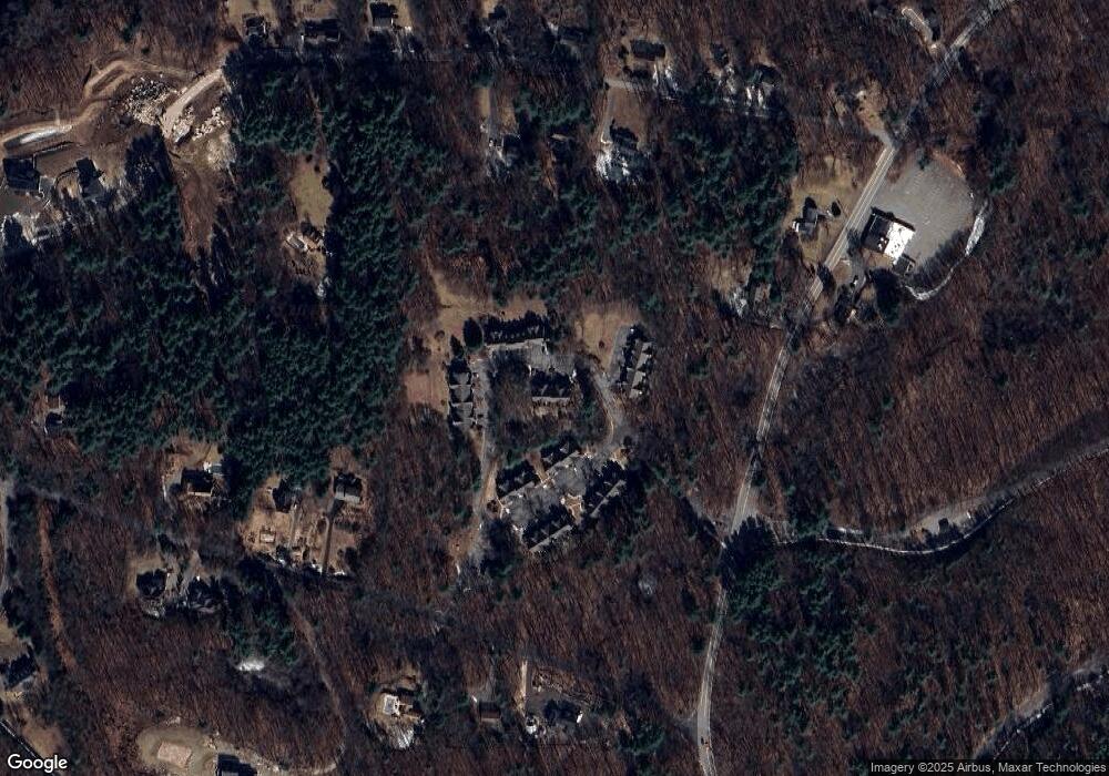
Map
Nearby Homes
- 37 Lincoln St
- 35 Lincoln St
- 2 Aikens Rd
- 20 Southville Rd
- 8 Parker St
- 262 Parkerville Rd
- 17 Highcroft Way
- 9 Highcroft Way Unit 9
- 12 Highcroft Way
- 3 Candlewood Ln
- 26 Kruger Rd
- 75 Wilson St
- 71 Weston Ln Unit 71
- 13 Birkdale Ln Unit 13
- 19 Gilmore Rd
- 24 Greenwood Rd
- 38 Waterville Ln Unit 38
- 36 Waterville Ln Unit 36
- 34 Waterville Ln Unit 34
- 30 Waterville Ln Unit 30