20 Forest St Dunstable, MA 01827
Estimated Value: $717,000 - $850,000
3
Beds
3
Baths
2,678
Sq Ft
$297/Sq Ft
Est. Value
About This Home
This home is located at 20 Forest St, Dunstable, MA 01827 and is currently estimated at $795,714, approximately $297 per square foot. 20 Forest St is a home located in Middlesex County with nearby schools including Groton Dunstable Regional High School, World Academy, and Academy of Notre Dame - Upper School.
Ownership History
Date
Name
Owned For
Owner Type
Purchase Details
Closed on
May 2, 2011
Sold by
Dumont Thomas F
Bought by
Dumont Thomas F and Dumont Karen L
Current Estimated Value
Purchase Details
Closed on
Oct 21, 1982
Bought by
Dumont Thomas F and Dumont Karen L
Create a Home Valuation Report for This Property
The Home Valuation Report is an in-depth analysis detailing your home's value as well as a comparison with similar homes in the area
Home Values in the Area
Average Home Value in this Area
Purchase History
| Date | Buyer | Sale Price | Title Company |
|---|---|---|---|
| Dumont Thomas F | -- | -- | |
| Dumont Thomas F | -- | -- |
Source: Public Records
Mortgage History
| Date | Status | Borrower | Loan Amount |
|---|---|---|---|
| Previous Owner | Dumont Thomas F | $20,000 | |
| Previous Owner | Dumont Thomas F | $20,000 |
Source: Public Records
Tax History
| Year | Tax Paid | Tax Assessment Tax Assessment Total Assessment is a certain percentage of the fair market value that is determined by local assessors to be the total taxable value of land and additions on the property. | Land | Improvement |
|---|---|---|---|---|
| 2025 | $9,875 | $718,200 | $230,100 | $488,100 |
| 2024 | $9,563 | $685,000 | $219,500 | $465,500 |
| 2023 | $9,335 | $623,600 | $219,500 | $404,100 |
| 2022 | $8,686 | $569,600 | $219,500 | $350,100 |
| 2021 | $8,671 | $528,400 | $198,000 | $330,400 |
| 2020 | $8,689 | $516,000 | $198,000 | $318,000 |
| 2019 | $8,513 | $499,000 | $198,000 | $301,000 |
| 2018 | $8,845 | $476,900 | $195,900 | $281,000 |
| 2017 | $7,205 | $479,700 | $195,900 | $283,800 |
| 2016 | $7,899 | $477,300 | $195,900 | $281,400 |
| 2015 | $7,552 | $451,400 | $164,900 | $286,500 |
| 2014 | $7,119 | $451,400 | $164,900 | $286,500 |
Source: Public Records
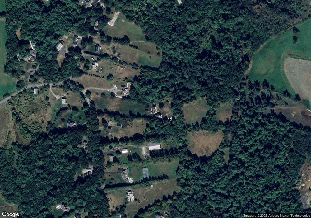
Map
Nearby Homes
- 0 Lowell St
- 6 Green Heron Ln Unit U22
- 2 Strawberry Bank Rd Unit 17
- 38 Georgetown Dr
- 4 Heritage Village Dr
- 11 Lojko Dr
- 20 Georgetown Dr
- 3 Black Oak Dr Unit C
- 141 Ridge Rd
- 58 Wilderness Dr
- 8 Wilderness Dr
- 65 Wilderness Dr
- 77 Wilderness Dr
- 1 Doucet Ave
- 1 Wilderness Dr
- 4 Wilderness Dr
- 2 Wilderness Dr
- 8 Hikers Ln
- 79 Wilderness Dr
- 4 Hikers Ln
Your Personal Tour Guide
Ask me questions while you tour the home.