20 Forster Rd Manchester, MA 01944
Estimated Value: $1,290,899 - $1,532,000
3
Beds
3
Baths
1,989
Sq Ft
$722/Sq Ft
Est. Value
About This Home
This home is located at 20 Forster Rd, Manchester, MA 01944 and is currently estimated at $1,436,225, approximately $722 per square foot. 20 Forster Rd is a home located in Essex County with nearby schools including Manchester Essex Regional High School, Tara Montessori School, and Glen Urquhart School.
Create a Home Valuation Report for This Property
The Home Valuation Report is an in-depth analysis detailing your home's value as well as a comparison with similar homes in the area
Home Values in the Area
Average Home Value in this Area
Tax History Compared to Growth
Tax History
| Year | Tax Paid | Tax Assessment Tax Assessment Total Assessment is a certain percentage of the fair market value that is determined by local assessors to be the total taxable value of land and additions on the property. | Land | Improvement |
|---|---|---|---|---|
| 2025 | $9,532 | $1,041,700 | $580,300 | $461,400 |
| 2024 | $9,156 | $979,300 | $559,500 | $419,800 |
| 2023 | $8,666 | $830,900 | $497,400 | $333,500 |
| 2022 | $8,145 | $768,400 | $455,900 | $312,500 |
| 2021 | $8,445 | $768,400 | $455,900 | $312,500 |
| 2020 | $7,984 | $682,400 | $383,400 | $299,000 |
| 2019 | $7,483 | $666,300 | $373,000 | $293,300 |
| 2018 | $7,349 | $666,300 | $373,000 | $293,300 |
| 2017 | $7,329 | $666,300 | $373,000 | $293,300 |
| 2016 | $6,463 | $583,800 | $331,600 | $252,200 |
| 2015 | $6,328 | $583,800 | $331,600 | $252,200 |
Source: Public Records
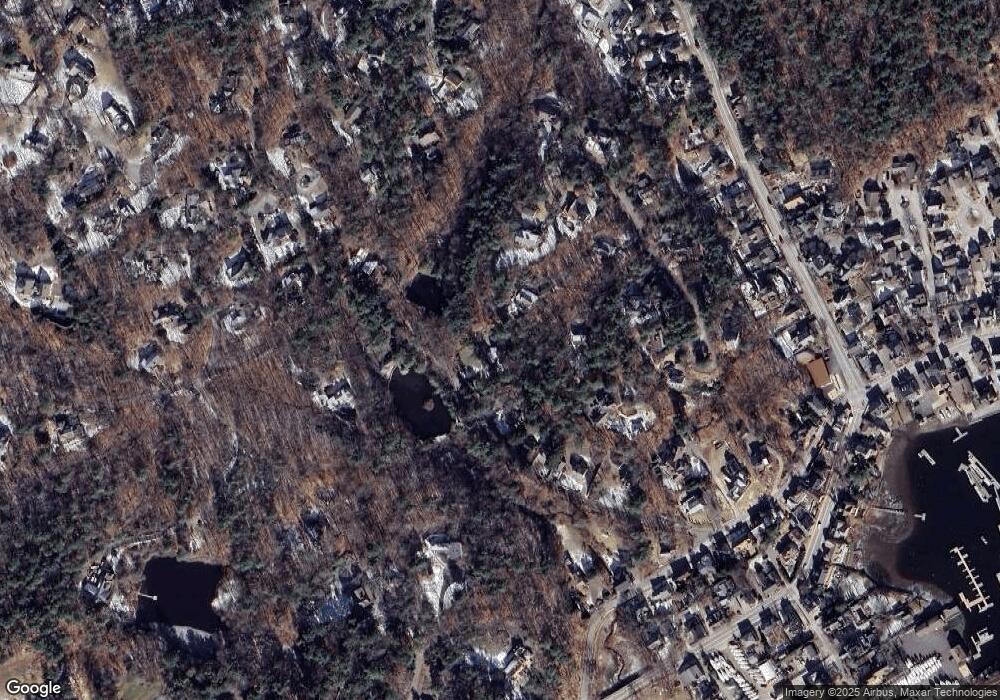
Map
Nearby Homes
- 30 Pine St
- 35 Forster Rd
- 37 Forster Rd
- 1 Woodholm Cir
- 48 Union St Unit 1
- 6 Summer St Unit D
- 122 Bridge St
- 10 Jersey Ln
- 27 Norwood Ave Unit C
- 2 and 2A Harbor St
- 56 Summer St Unit A
- 159 Bridge St
- 17 Old Essex Rd
- 1 Crooked Ln
- 4 Knight Rd
- 4 Windemere Park Extension
- 9 Masconomo St
- 6 Highland Ave
- 4 Cobb Ave
- 2 Mark St