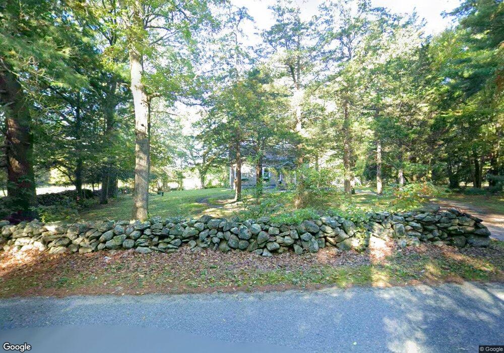
20 Francis St Rehoboth, MA 02769
Estimated Value: $599,000 - $760,000
3
Beds
1
Bath
980
Sq Ft
$681/Sq Ft
Est. Value
About This Home
This home is located at 20 Francis St, Rehoboth, MA 02769 and is currently estimated at $667,537, approximately $681 per square foot. 20 Francis St is a home located in Bristol County with nearby schools including Dighton-Rehoboth Regional High School, Cedar Brook School, and The Pinecroft School.
Ownership History
Date
Name
Owned For
Owner Type
Purchase Details
Closed on
May 23, 2005
Sold by
Ferrini Joseph and Lachapelle Donald V
Bought by
Ferrini Joseph
Current Estimated Value
Home Financials for this Owner
Home Financials are based on the most recent Mortgage that was taken out on this home.
Original Mortgage
$524,000
Outstanding Balance
$275,145
Interest Rate
5.95%
Mortgage Type
Purchase Money Mortgage
Estimated Equity
$392,392
Purchase Details
Closed on
Apr 23, 2004
Sold by
Ferrini Joseph
Bought by
Ferrini Joseph and Lachapelle Donald
Purchase Details
Closed on
Mar 15, 2004
Sold by
Roy Carol J and Roy Phillippe E
Bought by
Ferrini Joseph
Create a Home Valuation Report for This Property
The Home Valuation Report is an in-depth analysis detailing your home's value as well as a comparison with similar homes in the area
Home Values in the Area
Average Home Value in this Area
Purchase History
| Date | Buyer | Sale Price | Title Company |
|---|---|---|---|
| Ferrini Joseph | -- | -- | |
| Ferrini Joseph | -- | -- | |
| Ferrini Joseph | $620,000 | -- |
Source: Public Records
Mortgage History
| Date | Status | Borrower | Loan Amount |
|---|---|---|---|
| Open | Ferrini Joseph | $524,000 |
Source: Public Records
Tax History Compared to Growth
Tax History
| Year | Tax Paid | Tax Assessment Tax Assessment Total Assessment is a certain percentage of the fair market value that is determined by local assessors to be the total taxable value of land and additions on the property. | Land | Improvement |
|---|---|---|---|---|
| 2025 | $56 | $499,600 | $324,900 | $174,700 |
| 2024 | $5,397 | $475,100 | $324,900 | $150,200 |
| 2023 | $5,477 | $474,700 | $320,900 | $153,800 |
| 2022 | $5,477 | $432,300 | $312,500 | $119,800 |
| 2021 | $5,508 | $416,000 | $296,200 | $119,800 |
| 2020 | $5,409 | $412,300 | $296,200 | $116,100 |
| 2018 | $4,638 | $387,500 | $288,400 | $99,100 |
| 2017 | $4,715 | $375,400 | $288,400 | $87,000 |
| 2016 | $4,516 | $371,700 | $288,400 | $83,300 |
| 2015 | $4,641 | $377,000 | $281,200 | $95,800 |
| 2014 | $4,519 | $363,300 | $274,000 | $89,300 |
Source: Public Records
Map
Nearby Homes
- 29 & 43 Francis St
- 58 Peck St
- 48 Round Farm Rd
- 2 Round Farm Rd
- 1 Round Farm Rd
- 14 Tremont St
- 257 Anawan St
- 2045 Winthrop St
- 70 Forest Hill Dr
- 133 Winthrop St
- 1120 Glebe St
- 10 Muriel Way
- 24 New St
- 805 Burt St
- 701 Winthrop St Unit 312
- 0 Kimberly Rd
- 27 Run Brook Cir
- 99 Brigham Hill Rd
- 154 Fairview Ave
- 240 Smith St
- 28 Francis St
- 25 Francis St
- 11 Francis St
- 19 Francis St
- 15 Francis St
- 15 Francis St Unit 1
- 15 Francis St
- 42 Francis St
- 40 Francis St Unit 42
- 40 Francis St Unit Left
- 40 Francis St Unit 40
- 93 Peck St
- 97 Peck St
- 112 Peck St
- 116 Peck St
- 107 Peck St
- 89 Peck St
- 46 Francis St
- 46 Francis St Unit 2
- 120 Peck St