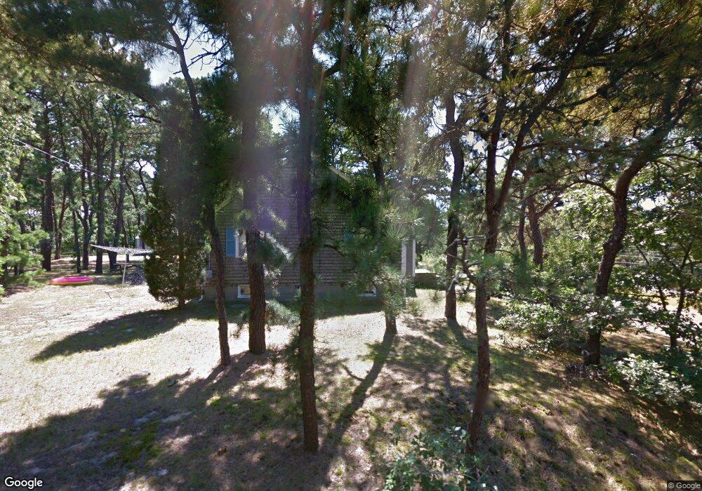
20 Fresh Brook Ln Unit A Wellfleet, MA 02667
Estimated Value: $517,000 - $916,000
3
Beds
1
Bath
1,152
Sq Ft
$577/Sq Ft
Est. Value
About This Home
This home is located at 20 Fresh Brook Ln Unit A, Wellfleet, MA 02667 and is currently estimated at $664,917, approximately $577 per square foot. 20 Fresh Brook Ln Unit A is a home located in Barnstable County with nearby schools including Wellfleet Elementary School, Nauset Regional Middle School, and Nauset Regional High School.
Ownership History
Date
Name
Owned For
Owner Type
Purchase Details
Closed on
Jan 23, 2002
Sold by
Bienvenue Jean N
Bought by
Rozza Jacqueline B
Current Estimated Value
Home Financials for this Owner
Home Financials are based on the most recent Mortgage that was taken out on this home.
Original Mortgage
$169,000
Interest Rate
7.08%
Mortgage Type
Purchase Money Mortgage
Create a Home Valuation Report for This Property
The Home Valuation Report is an in-depth analysis detailing your home's value as well as a comparison with similar homes in the area
Home Values in the Area
Average Home Value in this Area
Purchase History
| Date | Buyer | Sale Price | Title Company |
|---|---|---|---|
| Rozza Jacqueline B | $188,000 | -- | |
| Rozza Jacqueline B | $188,000 | -- |
Source: Public Records
Mortgage History
| Date | Status | Borrower | Loan Amount |
|---|---|---|---|
| Open | Rozza Jacqueline B | $168,750 | |
| Closed | Rozza Jacqueline B | $169,000 |
Source: Public Records
Tax History Compared to Growth
Tax History
| Year | Tax Paid | Tax Assessment Tax Assessment Total Assessment is a certain percentage of the fair market value that is determined by local assessors to be the total taxable value of land and additions on the property. | Land | Improvement |
|---|---|---|---|---|
| 2025 | $4,046 | $569,000 | $0 | $569,000 |
| 2024 | $3,278 | $480,000 | $0 | $480,000 |
| 2023 | $2,784 | $400,000 | $0 | $400,000 |
| 2022 | $2,499 | $321,200 | $0 | $321,200 |
| 2021 | $2,338 | $297,400 | $0 | $297,400 |
| 2020 | $2,313 | $298,400 | $0 | $298,400 |
| 2019 | $2,266 | $293,100 | $0 | $293,100 |
| 2018 | $1,989 | $277,000 | $0 | $277,000 |
| 2017 | $1,843 | $271,800 | $0 | $271,800 |
| 2016 | $1,841 | $269,500 | $0 | $269,500 |
| 2015 | $1,739 | $256,500 | $0 | $256,500 |
Source: Public Records
Map
Nearby Homes
- 90 Blue Heron Rd
- 90 Ring Rd
- 176 Village Ln
- 210 West Rd Unit B9
- 210 West Rd Unit M-16
- 11 Whelpley Rd
- 40 Leilla Rich Dr
- 140 Harvest Rd
- 100 Gigi Ln
- 55 Harvard St
- 5470 State Hwy
- 675 N Sunken Meadow Rd
- 95 Barker St
- 125 Wamsutta Rd
- 1460 Massasoit Rd
- 5 Striper Ave
- 65 Harmes Way
- 95 Toland Dr
- 160 Toland Dr
- 1285 Massasoit Rd
- 20 Fresh Brook Ln Unit F
- 20 Fresh Brook Ln Unit E
- 20 Fresh Brook Ln Unit D
- 20 Fresh Brook Ln Unit C
- 20 Fresh Brook Ln Unit B
- 20 Fresh Brook Ln
- 20 Fresh Brook Ln Unit 1
- 20 Fresh Brook Ln Unit 3
- 20 Fresh Brook Ln Unit 6
- 55 Old Bay Rd
- 38 Fresh Brook Ln
- 400 State Hwy Rte 6
- 60 Old Bay Rd
- 85 Old Bay Rd
- 17 Fresh Brook Ln
- 45 Old Bay Rd
- 45 Fresh Brook Ln
- 240 Route 6
- 54 Fresh Brook Ln
- 56 Old Bay Rd