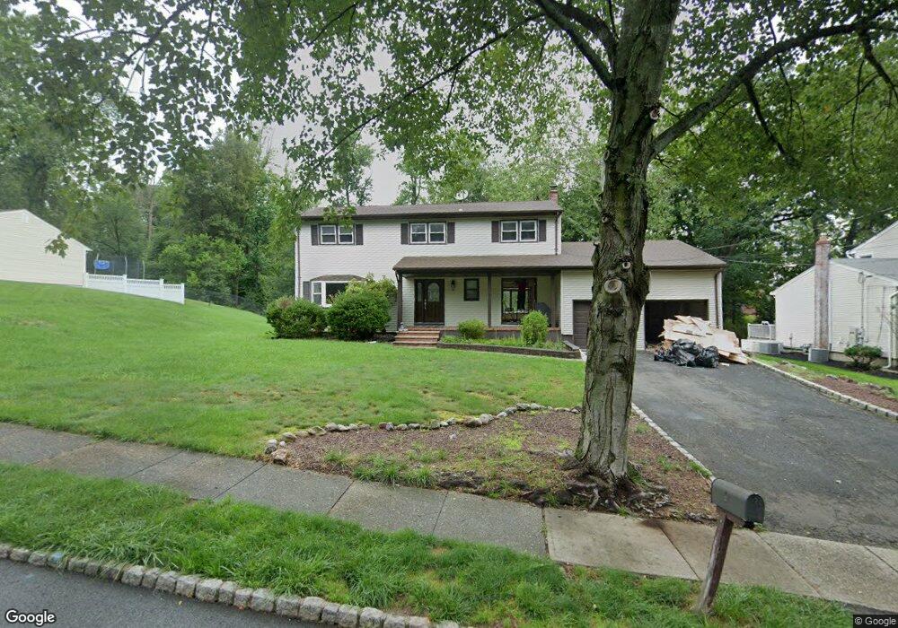
20 Friar Rd Morris Plains, NJ 07950
Estimated Value: $734,783 - $843,000
--
Bed
--
Bath
2,234
Sq Ft
$360/Sq Ft
Est. Value
About This Home
This home is located at 20 Friar Rd, Morris Plains, NJ 07950 and is currently estimated at $803,446, approximately $359 per square foot. 20 Friar Rd is a home located in Morris County with nearby schools including Littleton Elementary School, Brooklawn Middle School, and Parsippany Hills High School.
Ownership History
Date
Name
Owned For
Owner Type
Purchase Details
Closed on
Aug 12, 2020
Sold by
Paluzzi Catherine
Bought by
Sunkavalli Sharath and Sunkavalli Kavya Susan
Current Estimated Value
Home Financials for this Owner
Home Financials are based on the most recent Mortgage that was taken out on this home.
Original Mortgage
$498,750
Outstanding Balance
$442,426
Interest Rate
3%
Mortgage Type
New Conventional
Estimated Equity
$361,020
Purchase Details
Closed on
May 16, 2005
Sold by
Paluzzi Catherine
Bought by
Paluzzi Catherine
Purchase Details
Closed on
Jan 28, 2005
Sold by
Paluzzi Catherine
Bought by
Paluzzi Catherine and Leonardis Frank
Purchase Details
Closed on
Sep 28, 1989
Bought by
Paluzzi John Joseph and Paluzzi Catherine
Create a Home Valuation Report for This Property
The Home Valuation Report is an in-depth analysis detailing your home's value as well as a comparison with similar homes in the area
Home Values in the Area
Average Home Value in this Area
Purchase History
| Date | Buyer | Sale Price | Title Company |
|---|---|---|---|
| Sunkavalli Sharath | $525,000 | First In Title | |
| Paluzzi Catherine | -- | -- | |
| Paluzzi Catherine | -- | -- | |
| Paluzzi John Joseph | $287,000 | -- |
Source: Public Records
Mortgage History
| Date | Status | Borrower | Loan Amount |
|---|---|---|---|
| Open | Sunkavalli Sharath | $498,750 |
Source: Public Records
Tax History Compared to Growth
Tax History
| Year | Tax Paid | Tax Assessment Tax Assessment Total Assessment is a certain percentage of the fair market value that is determined by local assessors to be the total taxable value of land and additions on the property. | Land | Improvement |
|---|---|---|---|---|
| 2025 | $13,754 | $395,900 | $189,500 | $206,400 |
| 2024 | $13,492 | $395,900 | $189,500 | $206,400 |
| 2023 | $13,492 | $395,900 | $189,500 | $206,400 |
| 2022 | $12,554 | $395,900 | $189,500 | $206,400 |
| 2021 | $12,554 | $395,900 | $189,500 | $206,400 |
| 2020 | $12,210 | $395,900 | $189,500 | $206,400 |
| 2019 | $11,881 | $395,900 | $189,500 | $206,400 |
| 2018 | $11,544 | $395,900 | $189,500 | $206,400 |
| 2017 | $11,283 | $395,900 | $189,500 | $206,400 |
| 2016 | $11,089 | $395,900 | $189,500 | $206,400 |
| 2015 | $10,808 | $395,900 | $189,500 | $206,400 |
| 2014 | $10,650 | $395,900 | $189,500 | $206,400 |
Source: Public Records
Map
Nearby Homes
- 35 Ferncliff Rd
- 9 Craydon St
- 91 Farmingdale Dr
- 2 A Foxwood Dr Unit A
- 62 Brookstone Cir
- 22 A Foxwood Dr Unit A
- 21 Holly Dr
- 7 J Foxwood Dr Unit J
- 7 D Foxwood Dr Unit D
- 2350 State Route 10 Unit D11
- 2467 Route 10 Unit 4A
- 1035 Littleton Rd
- 10 Buena Rd
- 21 Dolly Dr
- Route 10 E E Route 10 Unit 48 1B
- 2467 New Jersey 10 Unit 6A
- 2467 New Jersey 10 Unit 1
- 2467 New Jersey 10 Unit 4A
- 2467 New Jersey 10 Unit 7A
- 2467 Route10 Unit 1A