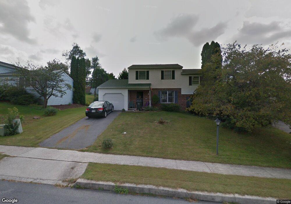
20 Furman Rd Dillsburg, PA 17019
Estimated Value: $231,000 - $284,000
3
Beds
2
Baths
1,344
Sq Ft
$189/Sq Ft
Est. Value
About This Home
This home is located at 20 Furman Rd, Dillsburg, PA 17019 and is currently estimated at $254,234, approximately $189 per square foot. 20 Furman Rd is a home located in York County with nearby schools including Northern Middle School and Northern High School.
Ownership History
Date
Name
Owned For
Owner Type
Purchase Details
Closed on
Aug 25, 2004
Sold by
Rittle Patricia and Turchi Patricia
Bought by
Rittle Patricia
Current Estimated Value
Home Financials for this Owner
Home Financials are based on the most recent Mortgage that was taken out on this home.
Original Mortgage
$57,000
Interest Rate
6.08%
Mortgage Type
Credit Line Revolving
Purchase Details
Closed on
Mar 15, 2003
Sold by
Turchi Patricia and Turchi Rose R
Bought by
Turchi Patricia
Create a Home Valuation Report for This Property
The Home Valuation Report is an in-depth analysis detailing your home's value as well as a comparison with similar homes in the area
Home Values in the Area
Average Home Value in this Area
Purchase History
| Date | Buyer | Sale Price | Title Company |
|---|---|---|---|
| Rittle Patricia | -- | -- | |
| Turchi Patricia | $85,000 | -- |
Source: Public Records
Mortgage History
| Date | Status | Borrower | Loan Amount |
|---|---|---|---|
| Closed | Rittle Patricia | $57,000 |
Source: Public Records
Tax History Compared to Growth
Tax History
| Year | Tax Paid | Tax Assessment Tax Assessment Total Assessment is a certain percentage of the fair market value that is determined by local assessors to be the total taxable value of land and additions on the property. | Land | Improvement |
|---|---|---|---|---|
| 2025 | $2,779 | $98,470 | $27,180 | $71,290 |
| 2024 | $2,750 | $98,470 | $27,180 | $71,290 |
| 2023 | $2,639 | $98,470 | $27,180 | $71,290 |
| 2022 | $2,583 | $98,470 | $27,180 | $71,290 |
| 2021 | $2,417 | $98,470 | $27,180 | $71,290 |
| 2020 | $2,360 | $98,470 | $27,180 | $71,290 |
| 2019 | $2,302 | $98,470 | $27,180 | $71,290 |
| 2018 | $2,253 | $98,470 | $27,180 | $71,290 |
| 2017 | $2,253 | $98,470 | $27,180 | $71,290 |
| 2016 | $0 | $98,470 | $27,180 | $71,290 |
| 2015 | -- | $98,470 | $27,180 | $71,290 |
| 2014 | -- | $98,470 | $27,180 | $71,290 |
Source: Public Records
Map
Nearby Homes
- 104 Furman Rd
- 771 Range End Rd
- 111 Saint George Dr
- 0 Range End Rd Unit PAYK2075290
- 45 Chain Saw Rd
- 17 Homewood St
- 165 Chain Saw Rd
- lot 1 Baltimore St
- 233 S Baltimore St
- Lot Cold Springs Rd
- 1111 S Mountain Rd
- 0 Harrisburg St
- 121 S Baltimore St
- 8 Dove Ct
- 140 Quail Dr
- 0 Church St Unit PAYK2054218
- 15 Wargo Ln
- 51 Old York Rd
- Whitehall II Plan at Stony Run Single Family Homes
- York II Garage Plan at Stony Run Townhomes