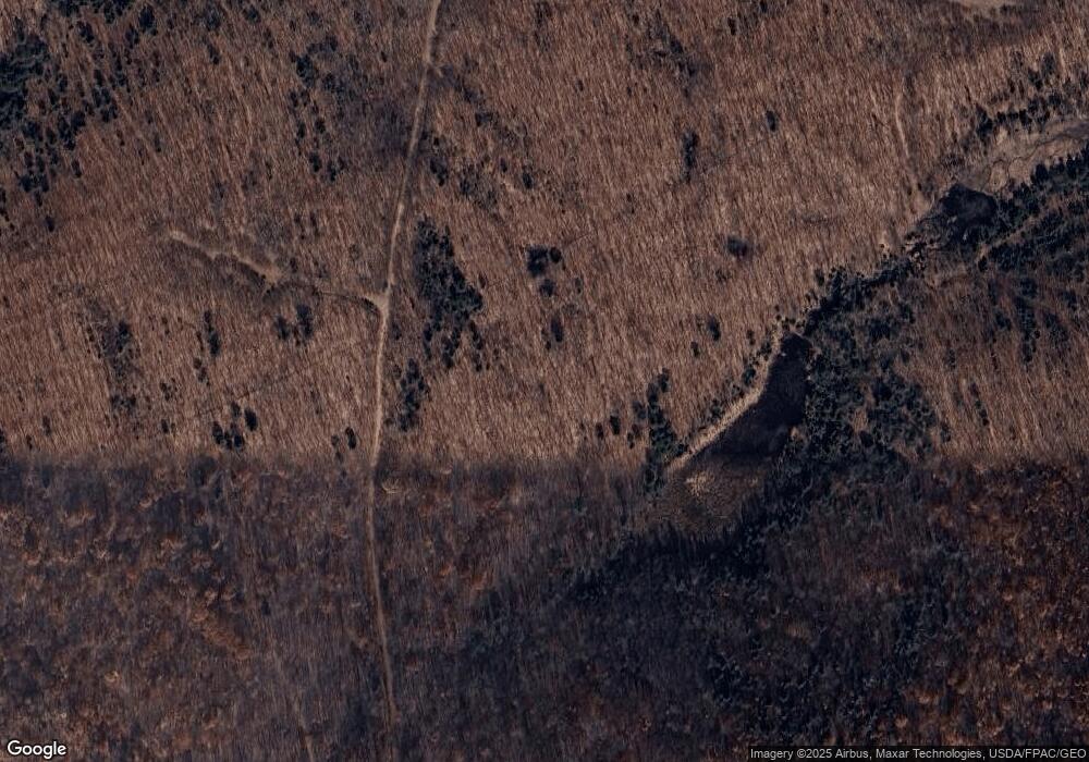
20 Gammon Hill Rd Wilton, ME 04294
Estimated Value: $177,000 - $243,000
1
Bed
1
Bath
701
Sq Ft
$307/Sq Ft
Est. Value
About This Home
This home is located at 20 Gammon Hill Rd, Wilton, ME 04294 and is currently estimated at $215,042, approximately $306 per square foot. 20 Gammon Hill Rd is a home with nearby schools including Mt. Blue High School.
Create a Home Valuation Report for This Property
The Home Valuation Report is an in-depth analysis detailing your home's value as well as a comparison with similar homes in the area
Home Values in the Area
Average Home Value in this Area
Tax History Compared to Growth
Tax History
| Year | Tax Paid | Tax Assessment Tax Assessment Total Assessment is a certain percentage of the fair market value that is determined by local assessors to be the total taxable value of land and additions on the property. | Land | Improvement |
|---|---|---|---|---|
| 2024 | $2,293 | $107,647 | $45,873 | $61,774 |
| 2023 | $2,258 | $110,666 | $48,892 | $61,774 |
| 2022 | $2,245 | $115,720 | $53,946 | $61,774 |
| 2021 | $2,256 | $116,305 | $54,531 | $61,774 |
| 2020 | $1,753 | $118,762 | $56,988 | $61,774 |
| 2019 | $4,697 | $119,347 | $57,573 | $61,774 |
| 2018 | $2,469 | $121,336 | $59,562 | $61,774 |
| 2017 | $2,450 | $118,645 | $56,871 | $61,774 |
| 2016 | $4,013 | $117,826 | $56,052 | $61,774 |
| 2015 | $1,849 | $98,600 | $55,200 | $43,400 |
| 2014 | $1,707 | $98,400 | $55,000 | $43,400 |
| 2013 | $1,571 | $96,700 | $53,300 | $43,400 |
Source: Public Records
Map
Nearby Homes
- M-25 L-006 Weld Rd
- 55 Woodland Ave
- 269 Weld Rd
- 221 More Acres Rd
- Lots B&C Hanslip Rd
- 2 Gilbert St S
- 42 Fernald St
- 2 Prospect St
- 5 Prospect St
- 15 Highland Ave
- 46 Webb Ave
- 60 Rolling Ridge
- 122 Prospect St
- 1022 Main St
- 2016 U S 2
- 28//36&37 Us Route 2 & 4
- M16 L12 Maine 4
- 1059 Main St
- 40 Bubier Rd
- 189 Basin Rd
- 120 Gammon Hill Rd
- 27 Hathaway Rd
- 0 Hathaway Rd
- 37 Gammon Hill Rd
- 483 U S Route 2 W
- 483 Us Route 2 W
- 439 Us Route 2 W
- 429 Us Route 2 W
- 514 Us Route 2 W
- 535 Us Route 2 W
- 561 Us Route 2 W
- 500 Us Route 2 W
- 56 Pond Rd
- 416 Us Route 2 W
- 124 Pond Rd
- 541 Us Route 2 W
- 156 Pond Rd
- 547 Us Route 2 W
- Lot 039E Pond Rd
- Map 26 Pond Rd
