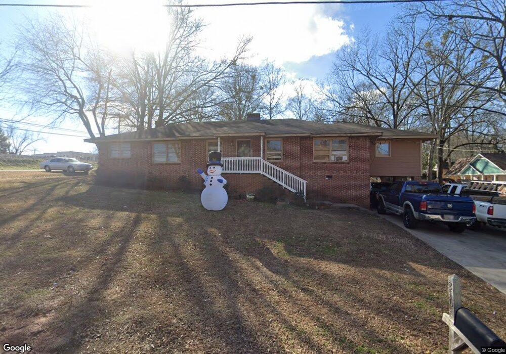
20 Garner St Buford, GA 30518
Estimated Value: $423,000 - $570,000
3
Beds
2
Baths
1,908
Sq Ft
$241/Sq Ft
Est. Value
About This Home
This home is located at 20 Garner St, Buford, GA 30518 and is currently estimated at $459,900, approximately $241 per square foot. 20 Garner St is a home located in Gwinnett County with nearby schools including Buford Elementary School, Buford Senior Academy, and Buford Academy.
Ownership History
Date
Name
Owned For
Owner Type
Purchase Details
Closed on
Sep 17, 2013
Sold by
Design Acquisition Llc
Bought by
Sosa Miriam
Current Estimated Value
Purchase Details
Closed on
Dec 6, 2011
Sold by
Mathis Jim Anderson
Bought by
Design Acquisition Llc
Purchase Details
Closed on
Apr 27, 2011
Sold by
Intown R/E Holdings Llc
Bought by
Mathis Jim A
Purchase Details
Closed on
Mar 1, 2011
Sold by
Ex-Officio Sheriff Of Gwinnett
Bought by
Mathis Jim A
Purchase Details
Closed on
Jan 14, 2010
Sold by
Mathis Jim A
Bought by
Smillie Charles V V
Create a Home Valuation Report for This Property
The Home Valuation Report is an in-depth analysis detailing your home's value as well as a comparison with similar homes in the area
Home Values in the Area
Average Home Value in this Area
Purchase History
| Date | Buyer | Sale Price | Title Company |
|---|---|---|---|
| Sosa Miriam | $59,000 | -- | |
| Design Acquisition Llc | $14,205 | -- | |
| Mathis Jim A | $7,826 | -- | |
| Mathis Jim A | $6,522 | -- | |
| Smillie Charles V V | $40,000 | -- |
Source: Public Records
Tax History
| Year | Tax Paid | Tax Assessment Tax Assessment Total Assessment is a certain percentage of the fair market value that is determined by local assessors to be the total taxable value of land and additions on the property. | Land | Improvement |
|---|---|---|---|---|
| 2025 | $2,880 | $200,720 | $40,000 | $160,720 |
| 2024 | $2,861 | $199,400 | $33,600 | $165,800 |
| 2023 | $2,861 | $141,160 | $26,000 | $115,160 |
| 2022 | $2,026 | $141,160 | $26,000 | $115,160 |
| 2021 | $1,510 | $105,240 | $16,800 | $88,440 |
| 2020 | $1,510 | $105,240 | $16,800 | $88,440 |
| 2019 | $1,292 | $99,680 | $16,800 | $82,880 |
| 2018 | $761 | $58,720 | $5,600 | $53,120 |
| 2016 | $753 | $58,720 | $5,600 | $53,120 |
| 2015 | $779 | $58,720 | $5,600 | $53,120 |
| 2014 | $318 | $23,600 | $5,600 | $18,000 |
Source: Public Records
Map
Nearby Homes
- 120 N Gwinnett St
- 185 Scott St
- 0 E Moreno St
- 550 Gwinnett St
- 304 E Jackson St
- 151 N Church St
- 76 W Moreno St
- 1769 Rowland Pass
- 490 Jackson St
- 4904 Grace Harris St
- 449 S Hill St
- 460 Espy St
- 425 Church St
- 7307 William St
- 585 Briard Dr
- 294 Watson St
- 2258 Seed Way
- 2020 Harvester Ln
- 619 Garner St
- 225 Smokey Rd
- 25 W Shadburn Ave
- E E Shadburn Ave Unit A
- E E Shadburn Ave Unit A-D
- E E Shadburn Ave Unit B
- E E Shadburn Ave Unit D
- E E Shadburn Ave Unit U
- E E Shadburn Ave
- 0 E Shadburn Ave Unit 4164753
- 0 E Shadburn Ave Unit 10074896
- 0 E Shadburn Ave Unit 7089522
- 35 W Shadburn Ave
- 4 Spring St
- 4 Spring St Unit 4
- 4 Spring St Unit C
- 4 Spring St Unit B
- 4 Spring St Unit D
- 4 Spring St Unit B
- 34 W Shadburn Ave
- 40 Spring St
- 55 W Shadburn Ave
Your Personal Tour Guide
Ask me questions while you tour the home.