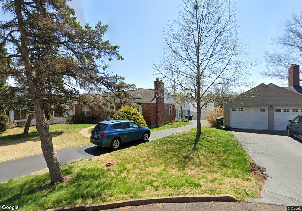
20 Girard Dr Saint Louis, MO 63119
Estimated Value: $343,000 - $406,000
3
Beds
2
Baths
1,428
Sq Ft
$257/Sq Ft
Est. Value
About This Home
This home is located at 20 Girard Dr, Saint Louis, MO 63119 and is currently estimated at $366,494, approximately $256 per square foot. 20 Girard Dr is a home located in St. Louis County with nearby schools including Edgar Road Elementary School, Hixson Middle School, and Webster Groves High School.
Ownership History
Date
Name
Owned For
Owner Type
Purchase Details
Closed on
Aug 26, 2009
Sold by
Endraske Christopher and Endraske Summer
Bought by
Call Steven R and Sweeney Teresa M
Current Estimated Value
Home Financials for this Owner
Home Financials are based on the most recent Mortgage that was taken out on this home.
Original Mortgage
$215,100
Outstanding Balance
$139,888
Interest Rate
5.16%
Mortgage Type
New Conventional
Estimated Equity
$226,606
Purchase Details
Closed on
Nov 26, 2002
Sold by
Godwin Ruth L
Bought by
Endraske Christopher and Endraske Summer
Home Financials for this Owner
Home Financials are based on the most recent Mortgage that was taken out on this home.
Original Mortgage
$147,335
Interest Rate
6.13%
Mortgage Type
FHA
Create a Home Valuation Report for This Property
The Home Valuation Report is an in-depth analysis detailing your home's value as well as a comparison with similar homes in the area
Home Values in the Area
Average Home Value in this Area
Purchase History
| Date | Buyer | Sale Price | Title Company |
|---|---|---|---|
| Call Steven R | $239,000 | None Available | |
| Endraske Christopher | $148,500 | Capital Title |
Source: Public Records
Mortgage History
| Date | Status | Borrower | Loan Amount |
|---|---|---|---|
| Open | Call Steven R | $215,100 | |
| Previous Owner | Endraske Christopher | $147,335 |
Source: Public Records
Tax History Compared to Growth
Tax History
| Year | Tax Paid | Tax Assessment Tax Assessment Total Assessment is a certain percentage of the fair market value that is determined by local assessors to be the total taxable value of land and additions on the property. | Land | Improvement |
|---|---|---|---|---|
| 2025 | $3,840 | $62,590 | $30,310 | $32,280 |
| 2024 | $3,840 | $55,100 | $21,220 | $33,880 |
| 2023 | $3,822 | $55,100 | $21,220 | $33,880 |
| 2022 | $3,474 | $46,450 | $21,220 | $25,230 |
| 2021 | $3,463 | $46,450 | $21,220 | $25,230 |
| 2020 | $3,501 | $43,740 | $21,220 | $22,520 |
| 2019 | $3,480 | $43,740 | $21,220 | $22,520 |
| 2018 | $2,966 | $33,020 | $15,140 | $17,880 |
| 2017 | $2,946 | $33,020 | $15,140 | $17,880 |
| 2016 | $3,505 | $37,740 | $12,560 | $25,180 |
| 2015 | $3,511 | $37,740 | $12,560 | $25,180 |
| 2014 | $3,492 | $36,520 | $7,390 | $29,130 |
Source: Public Records
Map
Nearby Homes
- 8261 Watson Rd
- 430 Cannonbury Dr
- 1405 Culverhill Dr
- 7625 General Meade Ln
- 7452 Rockwood Dr
- 8215 General Sheridan Ln
- 1330 Drayton Ave
- 8509 Grantshire Ln
- 7243 General Sherman Ln
- 312 Oak Tree Dr
- 308 Oak Tree Dr
- 907 Edgar Rd
- 739 Hurstgreen Rd
- 7101 Fernbrook Dr
- 107 Saint George Place
- 725 Brookridge Dr
- 30 Webster Oaks Dr
- 8875 Rock Forest Dr
- 8853 Raleigh Dr
- 26 Webster Oaks Dr