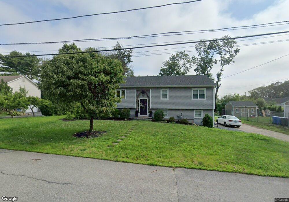
20 Glenham Rd Cranston, RI 02921
Western Cranston NeighborhoodEstimated Value: $497,000 - $606,000
3
Beds
2
Baths
1,655
Sq Ft
$326/Sq Ft
Est. Value
About This Home
This home is located at 20 Glenham Rd, Cranston, RI 02921 and is currently estimated at $539,366, approximately $325 per square foot. 20 Glenham Rd is a home located in Providence County with nearby schools including Oak Lawn School, Western Hills Middle School, and Cranston High School West.
Ownership History
Date
Name
Owned For
Owner Type
Purchase Details
Closed on
May 16, 2019
Sold by
Laborio Edward and Kinlaw Michelle
Bought by
Gale Cara M and Gale Steven M
Current Estimated Value
Home Financials for this Owner
Home Financials are based on the most recent Mortgage that was taken out on this home.
Original Mortgage
$351,251
Outstanding Balance
$306,908
Interest Rate
4%
Mortgage Type
FHA
Estimated Equity
$232,458
Purchase Details
Closed on
Jun 8, 2012
Sold by
Laborio Edward and Laborio Iedward M
Bought by
Loborio Edward and Laborio Michelle
Create a Home Valuation Report for This Property
The Home Valuation Report is an in-depth analysis detailing your home's value as well as a comparison with similar homes in the area
Home Values in the Area
Average Home Value in this Area
Purchase History
We collect this data history from publicly available records. To have your information removed, we recommend requesting removal directly through your county’s website.
| Date | Buyer | Sale Price | Title Company |
|---|---|---|---|
| Gale Cara M | $200,000 | -- | |
| Loborio Edward | -- | -- |
Source: Public Records
Mortgage History
We collect this data history from publicly available records. To have your information removed, we recommend requesting removal directly through your county’s website.
| Date | Status | Borrower | Loan Amount |
|---|---|---|---|
| Open | Gale Cara M | $351,251 |
Source: Public Records
Tax History
| Year | Tax Paid | Tax Assessment Tax Assessment Total Assessment is a certain percentage of the fair market value that is determined by local assessors to be the total taxable value of land and additions on the property. | Land | Improvement |
|---|---|---|---|---|
| 2025 | $5,755 | $414,600 | $151,300 | $263,300 |
| 2024 | $5,643 | $414,600 | $151,300 | $263,300 |
| 2023 | $5,734 | $303,400 | $108,200 | $195,200 |
| 2022 | $5,616 | $303,400 | $108,200 | $195,200 |
| 2021 | $5,461 | $303,400 | $108,200 | $195,200 |
| 2020 | $5,390 | $259,500 | $112,100 | $147,400 |
| 2019 | $5,581 | $268,700 | $112,100 | $156,600 |
| 2018 | $5,452 | $268,700 | $112,100 | $156,600 |
| 2017 | $5,554 | $242,100 | $100,500 | $141,600 |
| 2016 | $5,435 | $242,100 | $100,500 | $141,600 |
| 2015 | $5,435 | $242,100 | $100,500 | $141,600 |
| 2014 | $5,162 | $226,000 | $96,700 | $129,300 |
Source: Public Records
Map
Nearby Homes
- 8 Ashton Ct
- 61 High View Dr
- 1715 Phenix Ave
- 25 Kristin Dr
- 74 Cardinal Rd
- 9 Scarlett Way
- 122 Mystery Farms Dr
- 56 Sweet Fern Dr
- 22 Derby Ln
- 2 Dogwood Dr
- 22 Chicory Ln
- 14 Canton Ct
- 80 Conley Ave Unit 9
- 69 Walden Way
- 77 Valley View Dr
- 311 Hope Rd
- 48 Governors Hill
- 1221 Phenix Ave
- 56 Governors Hill Unit 566
- 6 Governors Hill Unit 6
Your Personal Tour Guide
Ask me questions while you tour the home.