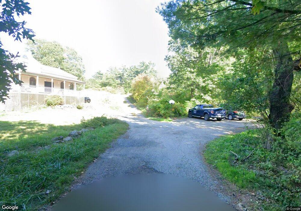
20 Great Hill Rd Gloucester, MA 01930
West Gloucester NeighborhoodEstimated Value: $804,000 - $1,142,000
4
Beds
3
Baths
3,232
Sq Ft
$312/Sq Ft
Est. Value
About This Home
This home is located at 20 Great Hill Rd, Gloucester, MA 01930 and is currently estimated at $1,008,007, approximately $311 per square foot. 20 Great Hill Rd is a home located in Essex County with nearby schools including West Parish, Ralph B O'maley Middle School, and Gloucester High School.
Ownership History
Date
Name
Owned For
Owner Type
Purchase Details
Closed on
Apr 14, 1994
Sold by
Sarkin Jonathan
Bought by
Lane Steven A and Lane Maureen
Current Estimated Value
Purchase Details
Closed on
Mar 8, 1993
Sold by
Sarkin Jonathan M
Bought by
Cook Ruth E
Create a Home Valuation Report for This Property
The Home Valuation Report is an in-depth analysis detailing your home's value as well as a comparison with similar homes in the area
Home Values in the Area
Average Home Value in this Area
Purchase History
| Date | Buyer | Sale Price | Title Company |
|---|---|---|---|
| Lane Steven A | $50,000 | -- | |
| Cook Ruth E | $273,000 | -- |
Source: Public Records
Mortgage History
| Date | Status | Borrower | Loan Amount |
|---|---|---|---|
| Open | Cook Ruth E | $99,000 | |
| Open | Cook Ruth E | $250,000 | |
| Closed | Cook Ruth E | $60,000 |
Source: Public Records
Tax History
| Year | Tax Paid | Tax Assessment Tax Assessment Total Assessment is a certain percentage of the fair market value that is determined by local assessors to be the total taxable value of land and additions on the property. | Land | Improvement |
|---|---|---|---|---|
| 2025 | $8,414 | $865,600 | $270,300 | $595,300 |
| 2024 | $8,362 | $859,400 | $257,400 | $602,000 |
| 2023 | $8,026 | $757,900 | $229,800 | $528,100 |
| 2022 | $7,795 | $664,500 | $199,800 | $464,700 |
| 2021 | $7,545 | $606,500 | $181,900 | $424,600 |
| 2020 | $7,652 | $620,600 | $181,900 | $438,700 |
| 2019 | $7,400 | $583,100 | $181,900 | $401,200 |
| 2018 | $7,201 | $556,900 | $181,900 | $375,000 |
| 2017 | $6,987 | $529,700 | $173,300 | $356,400 |
| 2016 | $6,839 | $502,500 | $180,800 | $321,700 |
| 2015 | $6,540 | $479,100 | $180,800 | $298,300 |
Source: Public Records
Map
Nearby Homes
- 7 Leaman Dr
- 587 Essex Ave
- 15 Lufkin Point Rd
- 368 Essex Ave
- 167 Atlantic St
- 178 Atlantic St
- 5 Samoset Rd Unit B
- 162 Main St
- 145 Main St Unit 1
- 145 Main St Unit 4
- 90 Southern Ave Unit 90
- 226 Atlantic St
- 5 Lepage Ln
- 24 Cobblestone Ln Unit 603
- 13 Honeysuckle Rd
- 145 Essex Ave Unit 402
- 2 Breezy Point Rd
- 34 & 34R Pickering St
- 3 Hardy Ln
- 3 Deacon Farm Ln
Your Personal Tour Guide
Ask me questions while you tour the home.