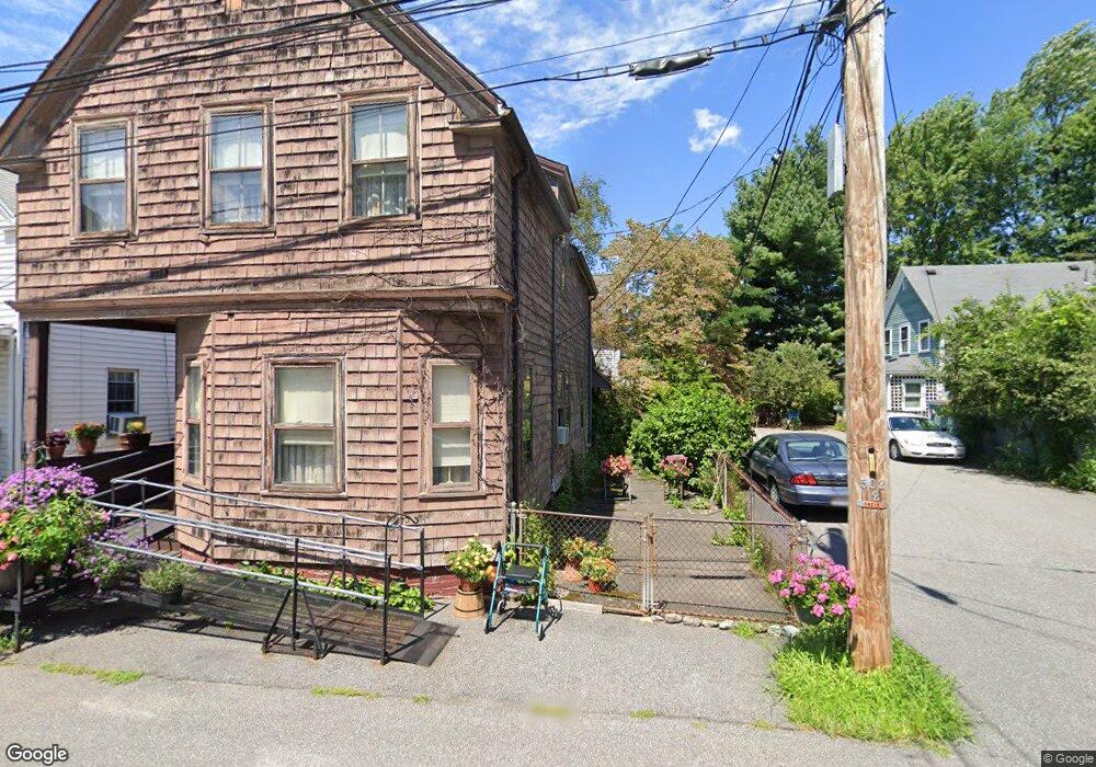
20 Hanson Ave Unit 1 Somerville, MA 02143
Spring Hill NeighborhoodEstimated Value: $929,000 - $1,079,000
2
Beds
2
Baths
1,884
Sq Ft
$526/Sq Ft
Est. Value
About This Home
This home is located at 20 Hanson Ave Unit 1, Somerville, MA 02143 and is currently estimated at $990,967, approximately $525 per square foot. 20 Hanson Ave Unit 1 is a home located in Middlesex County with nearby schools including Somerville High School and Saint Theresa School.
Ownership History
Date
Name
Owned For
Owner Type
Purchase Details
Closed on
Jul 30, 2024
Sold by
Goldstein Michael S
Bought by
Funsten Matthew and Frazier Katya
Current Estimated Value
Home Financials for this Owner
Home Financials are based on the most recent Mortgage that was taken out on this home.
Original Mortgage
$668,250
Outstanding Balance
$657,627
Interest Rate
6.87%
Mortgage Type
New Conventional
Estimated Equity
$333,340
Purchase Details
Closed on
Jun 25, 1999
Sold by
Jewers Maureen
Bought by
Goldstein Michael S
Home Financials for this Owner
Home Financials are based on the most recent Mortgage that was taken out on this home.
Original Mortgage
$148,000
Interest Rate
7.09%
Mortgage Type
Purchase Money Mortgage
Create a Home Valuation Report for This Property
The Home Valuation Report is an in-depth analysis detailing your home's value as well as a comparison with similar homes in the area
Home Values in the Area
Average Home Value in this Area
Purchase History
| Date | Buyer | Sale Price | Title Company |
|---|---|---|---|
| Funsten Matthew | $891,000 | None Available | |
| Goldstein Michael S | $185,000 | -- |
Source: Public Records
Mortgage History
| Date | Status | Borrower | Loan Amount |
|---|---|---|---|
| Open | Funsten Matthew | $668,250 | |
| Previous Owner | Goldstein Michael S | $100,000 | |
| Previous Owner | Goldstein Michael S | $148,000 | |
| Previous Owner | Goldstein Michael S | $17,000 | |
| Closed | Goldstein Michael S | $27,700 |
Source: Public Records
Tax History
| Year | Tax Paid | Tax Assessment Tax Assessment Total Assessment is a certain percentage of the fair market value that is determined by local assessors to be the total taxable value of land and additions on the property. | Land | Improvement |
|---|---|---|---|---|
| 2025 | $10,872 | $996,500 | $613,700 | $382,800 |
| 2024 | $10,410 | $989,500 | $613,700 | $375,800 |
| 2023 | $9,933 | $960,600 | $613,700 | $346,900 |
| 2022 | $9,306 | $914,100 | $584,500 | $329,600 |
| 2021 | $8,784 | $862,000 | $556,700 | $305,300 |
| 2020 | $8,260 | $818,600 | $535,300 | $283,300 |
| 2019 | $8,094 | $752,200 | $454,600 | $297,600 |
| 2018 | $7,307 | $646,100 | $413,200 | $232,900 |
| 2017 | $6,980 | $598,100 | $374,200 | $223,900 |
| 2016 | $6,992 | $558,000 | $367,800 | $190,200 |
| 2015 | $6,644 | $526,900 | $339,300 | $187,600 |
Source: Public Records
Map
Nearby Homes
- 47 Dane St
- 43 Park St Unit 18
- 23 Park St Unit 2
- 1 Loring St Unit 3
- 5 Waldo Ave Unit 2A
- 555 Somerville Ave Unit 2
- 397 Somerville Ave
- 14 Carlton St Unit B
- 379 Somerville Ave
- 17 Buckingham St Unit 2
- 17 Buckingham St Unit 3
- 5 Cooney St Unit 3
- 31 Roberts Rd
- 373 Somerville Ave Unit D
- 367 Somerville Ave Unit G
- 60 Bow St Unit E
- 88 Line St Unit 88
- 30 A Summer St
- 260 Beacon St Unit 201
- 34 Summer St
- 20 Hanson Ave
- 8 Hanson Ave
- 10 Hanson Ave
- 16 Skehan St
- 16 Skehan St Unit 2
- 18 Skehan St
- 38 Hanson St
- 38 Hanson St Unit 3
- 38 Hanson St Unit 1
- 38 Hanson St Unit 1A
- 38 Hanson St Unit 1R
- 38 Hanson St Unit 1T
- 38 Hanson St
- 38 Hanson St Unit 2
- 14 Skehan St
- 14 Skehan St Unit 14 Skehan
- 14 Skehan St
- 14 Skehan St Unit 2
- 32 Hanson St
- 32 Hanson St Unit 3
Your Personal Tour Guide
Ask me questions while you tour the home.