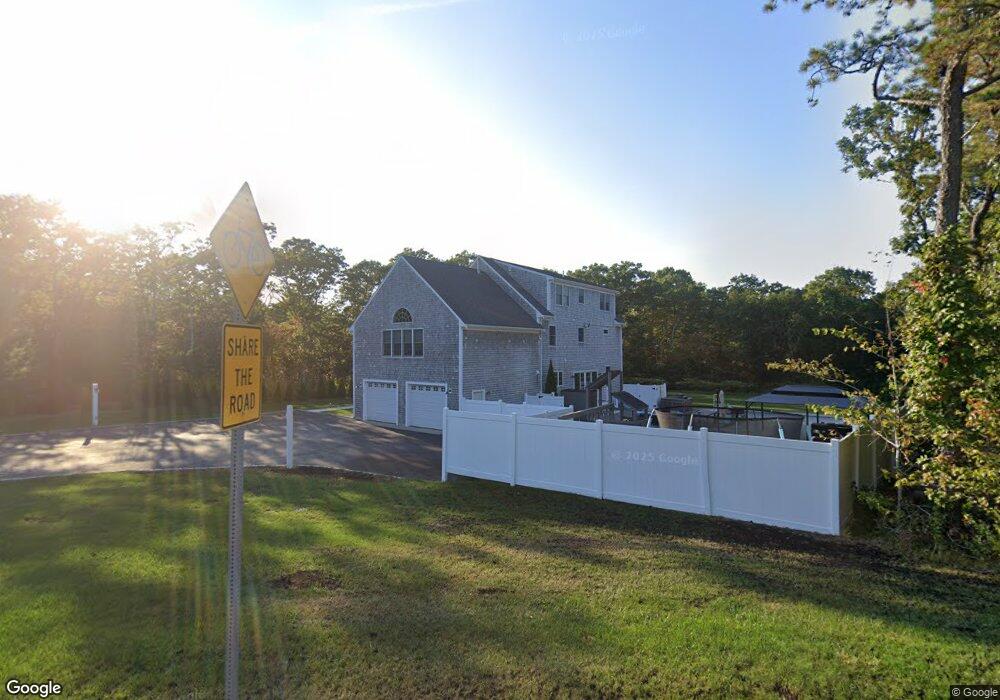
20 Harlow Rd Sandwich, MA 02563
Estimated Value: $662,000 - $685,000
3
Beds
2
Baths
1,201
Sq Ft
$561/Sq Ft
Est. Value
About This Home
This home is located at 20 Harlow Rd, Sandwich, MA 02563 and is currently estimated at $673,910, approximately $561 per square foot. 20 Harlow Rd is a home located in Barnstable County with nearby schools including Sandwich Middle High School and Montessori School of Sandwich.
Ownership History
Date
Name
Owned For
Owner Type
Purchase Details
Closed on
Nov 16, 2001
Sold by
Marceau Robert and Marceau Stephanie
Bought by
Hazleton Craig S and Hazleton Lynne
Current Estimated Value
Purchase Details
Closed on
Apr 19, 1996
Sold by
Trayner Paul E and Trayner Dawn N
Bought by
Marceau Robert and Marceau Stephanie
Create a Home Valuation Report for This Property
The Home Valuation Report is an in-depth analysis detailing your home's value as well as a comparison with similar homes in the area
Home Values in the Area
Average Home Value in this Area
Purchase History
| Date | Buyer | Sale Price | Title Company |
|---|---|---|---|
| Hazleton Craig S | $236,000 | -- | |
| Marceau Robert | $123,000 | -- |
Source: Public Records
Mortgage History
| Date | Status | Borrower | Loan Amount |
|---|---|---|---|
| Open | Marceau Robert | $310,082 | |
| Closed | Marceau Robert | $212,000 |
Source: Public Records
Tax History Compared to Growth
Tax History
| Year | Tax Paid | Tax Assessment Tax Assessment Total Assessment is a certain percentage of the fair market value that is determined by local assessors to be the total taxable value of land and additions on the property. | Land | Improvement |
|---|---|---|---|---|
| 2025 | $6,283 | $594,400 | $228,300 | $366,100 |
| 2024 | $5,958 | $551,700 | $203,900 | $347,800 |
| 2023 | $5,778 | $502,400 | $185,300 | $317,100 |
| 2022 | $5,027 | $382,000 | $165,500 | $216,500 |
| 2021 | $1,887 | $361,300 | $159,100 | $202,200 |
| 2020 | $36,964 | $376,700 | $163,600 | $213,100 |
| 2019 | $5,154 | $359,900 | $160,600 | $199,300 |
| 2018 | $37,898 | $340,400 | $155,100 | $185,300 |
| 2017 | $4,819 | $322,800 | $150,100 | $172,700 |
| 2016 | $4,371 | $302,100 | $148,500 | $153,600 |
| 2015 | $4,213 | $284,300 | $133,700 | $150,600 |
Source: Public Records
Map
Nearby Homes
- 13 Harlow St
- 16 Cotuit Rd
- 24 Harlow Rd
- 23 Harlow Rd
- 0 Cotuit Rd
- 28 Harlow Rd
- 18 S Sandwich Rd
- 1 Asa Meiggs Rd
- 30 Harlow Rd Unit 30A
- 30-30A Harlow Rd
- 4 Sean Cir
- 31 Cotuit and Harlow
- 3 Woodspring Farm Ln
- 63 Fal Sandwich
- 5 Woodspring Farm Ln
- 1 Woodspring Farm Ln
- 12 S Sandwich Rd
- 1 Woodspring Farm Ln
- 34 Harlow Rd
- 1 Sean Cir