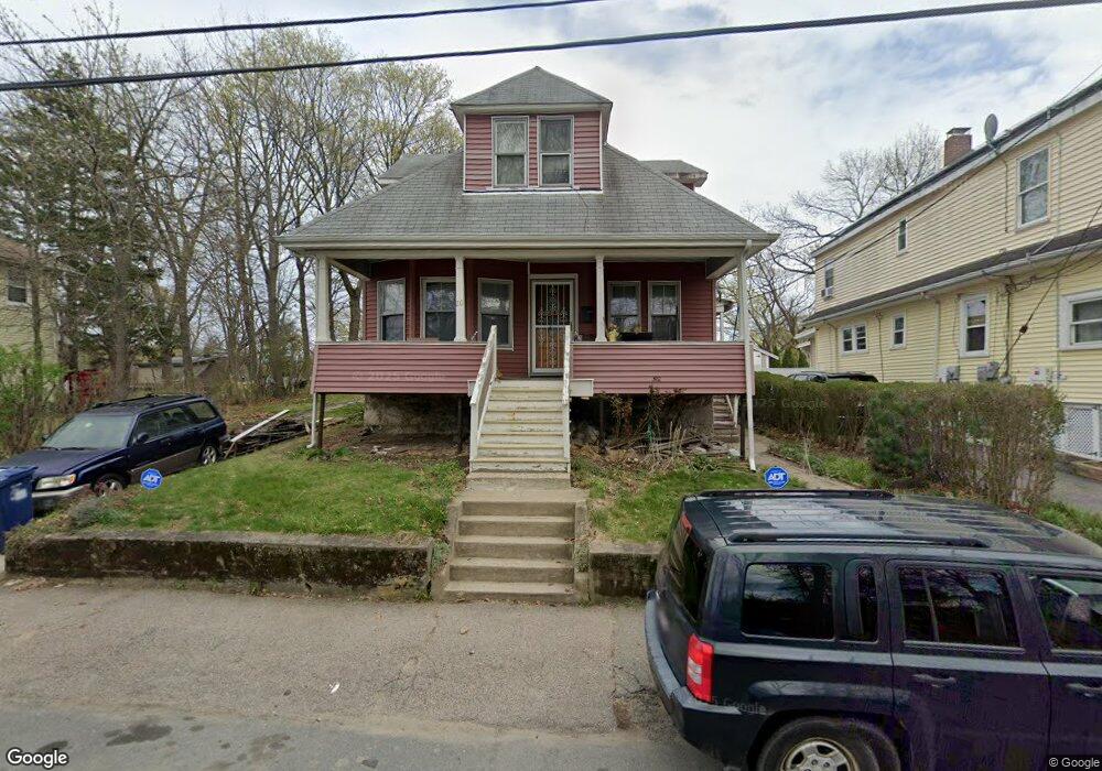
20 Harmon St Mattapan, MA 02126
Southern Mattapan NeighborhoodEstimated Value: $497,000 - $712,000
3
Beds
2
Baths
1,518
Sq Ft
$419/Sq Ft
Est. Value
About This Home
This home is located at 20 Harmon St, Mattapan, MA 02126 and is currently estimated at $635,393, approximately $418 per square foot. 20 Harmon St is a home located in Suffolk County with nearby schools including KIPP Academy Boston Charter School, Boston Preparatory Charter Public School, and Berea Seventh-day Adventist Academy.
Ownership History
Date
Name
Owned For
Owner Type
Purchase Details
Closed on
Aug 5, 1997
Sold by
Kelley Laura M
Bought by
Gant Louise A
Current Estimated Value
Home Financials for this Owner
Home Financials are based on the most recent Mortgage that was taken out on this home.
Original Mortgage
$92,000
Interest Rate
7.55%
Mortgage Type
Purchase Money Mortgage
Create a Home Valuation Report for This Property
The Home Valuation Report is an in-depth analysis detailing your home's value as well as a comparison with similar homes in the area
Home Values in the Area
Average Home Value in this Area
Purchase History
| Date | Buyer | Sale Price | Title Company |
|---|---|---|---|
| Gant Louise A | $115,000 | -- |
Source: Public Records
Mortgage History
| Date | Status | Borrower | Loan Amount |
|---|---|---|---|
| Open | Gant Louise A | $154,000 | |
| Closed | Gant Louise A | $140,000 | |
| Closed | Gant Louise A | $124,400 | |
| Closed | Gant Louise A | $92,000 |
Source: Public Records
Tax History Compared to Growth
Tax History
| Year | Tax Paid | Tax Assessment Tax Assessment Total Assessment is a certain percentage of the fair market value that is determined by local assessors to be the total taxable value of land and additions on the property. | Land | Improvement |
|---|---|---|---|---|
| 2025 | $7,338 | $633,700 | $244,900 | $388,800 |
| 2024 | $6,741 | $618,400 | $220,400 | $398,000 |
| 2023 | $6,266 | $583,400 | $207,900 | $375,500 |
| 2022 | $6,347 | $583,400 | $207,900 | $375,500 |
| 2021 | $5,658 | $530,300 | $189,000 | $341,300 |
| 2020 | $5,330 | $504,700 | $195,000 | $309,700 |
| 2019 | $4,859 | $461,000 | $152,100 | $308,900 |
| 2018 | $4,315 | $411,700 | $152,100 | $259,600 |
| 2017 | $4,193 | $395,900 | $152,100 | $243,800 |
| 2016 | $3,959 | $359,900 | $152,100 | $207,800 |
| 2015 | $3,462 | $285,900 | $122,200 | $163,700 |
| 2014 | $3,330 | $264,700 | $122,200 | $142,500 |
Source: Public Records
Map
Nearby Homes
- 839-843 Cummins Hwy
- 770 Cummins Hwy Unit 1
- 770 Cummins Hwy Unit 22
- 10 Brockton St
- 90 Hollingsworth St
- 231 Itasca St
- 34 Ridlon Rd
- 95 Woodhaven St
- 48-50 Rockdale St
- 23 Caton St
- 25 Alpine St Unit 7
- 645 River St
- 7 Winborough St
- 179 Hebron St
- 265 Hebron St
- 100 Itasca St
- 72 Livermore St
- 20 Monterey Ave
- 60 and 64 Monterey Ave
- 0 Tina Ave