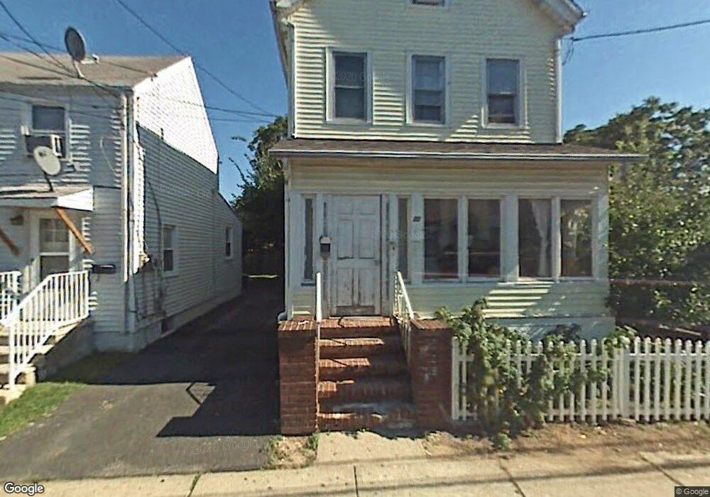
20 Harmony St North Plainfield, NJ 07060
Estimated Value: $451,000 - $550,312
--
Bed
--
Bath
1,881
Sq Ft
$276/Sq Ft
Est. Value
About This Home
This home is located at 20 Harmony St, North Plainfield, NJ 07060 and is currently estimated at $519,328, approximately $276 per square foot. 20 Harmony St is a home located in Somerset County with nearby schools including Somerset Intermediate School, North Plainfield Middle/High School, and North Plainfield Middle School.
Ownership History
Date
Name
Owned For
Owner Type
Purchase Details
Closed on
Oct 20, 2023
Sold by
Garces Bertha A
Bought by
Bertha Garces Family Trust
Current Estimated Value
Purchase Details
Closed on
Jan 21, 2009
Sold by
Villacis Jorge A and Villacis Bertha A
Bought by
Garces Bertha A
Purchase Details
Closed on
Sep 27, 1996
Sold by
Naranjo Marco
Bought by
Cordova Miguel and Cordova Laura
Home Financials for this Owner
Home Financials are based on the most recent Mortgage that was taken out on this home.
Original Mortgage
$109,000
Interest Rate
7.5%
Create a Home Valuation Report for This Property
The Home Valuation Report is an in-depth analysis detailing your home's value as well as a comparison with similar homes in the area
Home Values in the Area
Average Home Value in this Area
Purchase History
| Date | Buyer | Sale Price | Title Company |
|---|---|---|---|
| Bertha Garces Family Trust | -- | None Listed On Document | |
| Bertha Garces Family Trust | -- | None Listed On Document | |
| Garces Bertha A | -- | None Available | |
| Cordova Miguel | $109,300 | -- |
Source: Public Records
Mortgage History
| Date | Status | Borrower | Loan Amount |
|---|---|---|---|
| Previous Owner | Cordova Miguel | $109,000 |
Source: Public Records
Tax History Compared to Growth
Tax History
| Year | Tax Paid | Tax Assessment Tax Assessment Total Assessment is a certain percentage of the fair market value that is determined by local assessors to be the total taxable value of land and additions on the property. | Land | Improvement |
|---|---|---|---|---|
| 2025 | $12,752 | $292,600 | $81,000 | $211,600 |
| 2024 | $12,752 | $292,600 | $81,000 | $211,600 |
| 2023 | $12,433 | $292,600 | $81,000 | $211,600 |
| 2022 | $11,941 | $292,600 | $81,000 | $211,600 |
| 2021 | $11,447 | $292,600 | $81,000 | $211,600 |
| 2020 | $11,447 | $292,600 | $81,000 | $211,600 |
| 2019 | $11,142 | $292,600 | $81,000 | $211,600 |
| 2018 | $10,905 | $292,600 | $81,000 | $211,600 |
| 2017 | $11,046 | $292,600 | $81,000 | $211,600 |
| 2016 | $10,501 | $292,600 | $81,000 | $211,600 |
| 2015 | $10,057 | $292,600 | $81,000 | $211,600 |
| 2014 | $9,594 | $292,600 | $81,000 | $211,600 |
Source: Public Records
Map
Nearby Homes
- 28 Harmony St
- 37 Harmony St
- 29 Pearl St
- 401 Highway22b21u3ondo
- 401 Highway22b25u4ondo Unit 25D
- 126 Duer St
- 50 Linden Ave
- 64 Washington Ave
- 26 Summit Ave
- 105 Grandview Ave
- 335 E Front St
- 104 Sandford Ave Unit 6
- 153 Westervelt Ave
- 74 Mercer Ave
- 154 Sandford Ave
- 354 E 2nd St Unit 56
- 402-4 E 2nd St
- 34 Rockview Ave
- 163 Delacy Ave
- 277 Watchung Ave