20 Harmony Way Brunswick, ME 04011
Estimated Value: $745,000 - $1,092,102
3
Beds
3
Baths
2,360
Sq Ft
$390/Sq Ft
Est. Value
About This Home
This home is located at 20 Harmony Way, Brunswick, ME 04011 and is currently estimated at $919,776, approximately $389 per square foot. 20 Harmony Way is a home with nearby schools including Priest Elementary-Middle School, Kate Furbish Elementary School, and Brunswick Jr High School.
Ownership History
Date
Name
Owned For
Owner Type
Purchase Details
Closed on
Dec 13, 2022
Sold by
Clark Paul H and Mulligan Rosalie R
Bought by
Mulligan Clark Rt
Current Estimated Value
Purchase Details
Closed on
Jun 6, 2013
Sold by
Lynch Phyllis T
Bought by
Clark 3Rd Paul H and Clark Martha C
Home Financials for this Owner
Home Financials are based on the most recent Mortgage that was taken out on this home.
Original Mortgage
$361,800
Interest Rate
3.43%
Mortgage Type
New Conventional
Create a Home Valuation Report for This Property
The Home Valuation Report is an in-depth analysis detailing your home's value as well as a comparison with similar homes in the area
Home Values in the Area
Average Home Value in this Area
Purchase History
| Date | Buyer | Sale Price | Title Company |
|---|---|---|---|
| Mulligan Clark Rt | -- | None Available | |
| Clark Paul H | -- | None Available | |
| Clark 3Rd Paul H | -- | -- |
Source: Public Records
Mortgage History
| Date | Status | Borrower | Loan Amount |
|---|---|---|---|
| Previous Owner | Clark 3Rd Paul H | $361,800 |
Source: Public Records
Tax History Compared to Growth
Tax History
| Year | Tax Paid | Tax Assessment Tax Assessment Total Assessment is a certain percentage of the fair market value that is determined by local assessors to be the total taxable value of land and additions on the property. | Land | Improvement |
|---|---|---|---|---|
| 2024 | $14,112 | $591,700 | $285,300 | $306,400 |
| 2023 | $13,778 | $591,600 | $285,300 | $306,300 |
| 2022 | $12,695 | $585,300 | $285,300 | $300,000 |
| 2021 | $12,209 | $585,300 | $285,300 | $300,000 |
| 2020 | $9,592 | $470,900 | $285,300 | $185,600 |
| 2019 | $9,286 | $470,900 | $285,300 | $185,600 |
| 2018 | $4,936 | $470,900 | $285,300 | $185,600 |
| 2017 | $4,501 | $470,900 | $285,300 | $185,600 |
| 2016 | $8,958 | $305,200 | $190,200 | $115,000 |
| 2015 | $8,655 | $305,200 | $190,200 | $115,000 |
| 2014 | $8,362 | $305,200 | $190,200 | $115,000 |
| 2013 | $8,100 | $305,200 | $190,200 | $115,000 |
Source: Public Records
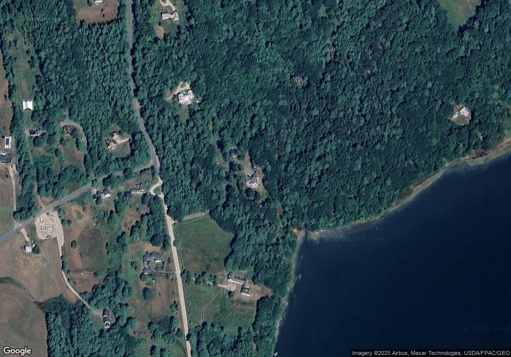
Map
Nearby Homes
- 250 Mere Point Rd
- 0 Gundalo Gap Rd Unit 1638108
- 270 Harpswell Neck Rd
- 6 Chebeague Ln
- 6 Melden Dr
- 0 Melden Dr
- 49 Gleed Dr
- 10 Betina Ln
- 10 Kitt St
- 54 Linnell Cir
- 11 Elwell Ln
- 853 Mere Point Rd
- 29 Elwell Ln
- 646 Gurnet Rd
- Lot 14 Village Cir
- 29 & 30 Nob Hill Ave
- Map 80 Lot 18-0 White Island
- Lot 8 Village Cir
- 32 Village Cir
- 23 Village Cir
- 20 Tedesco Way
- 257 Pennellville Rd
- 215 Pennellville Rd
- 236 Pennellville Rd
- 258 Pennellville Rd
- 222 Pennellville Rd
- 15 Pennell Way
- 195 Pennellville Rd
- 16 Pennell Way
- 23 Pennell Way
- 24 Pennell Way
- 29 Pennell Way
- 208 Pennellville Rd
- 30 Pennell Way
- 287 Pennellville Rd
- 292 Pennellville Rd
- 184 Pennellville Rd
- 17 Pennell Point Dr
- 11 Pennell Point Dr
- 54 Pennell Way