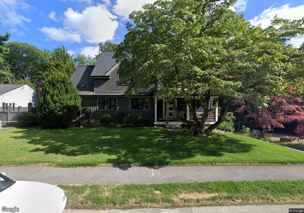
20 Harwood Rd Natick, MA 01760
Estimated Value: $1,261,000 - $1,832,000
3
Beds
3
Baths
2,808
Sq Ft
$541/Sq Ft
Est. Value
About This Home
This home is located at 20 Harwood Rd, Natick, MA 01760 and is currently estimated at $1,518,157, approximately $540 per square foot. 20 Harwood Rd is a home located in Middlesex County with nearby schools including Natick High School, Wilson Middle School, and Bennett-Hemenway (Ben-Hem) Elementary School.
Ownership History
Date
Name
Owned For
Owner Type
Purchase Details
Closed on
Dec 22, 1989
Sold by
Kemp Helen
Bought by
Medeiros David W
Current Estimated Value
Home Financials for this Owner
Home Financials are based on the most recent Mortgage that was taken out on this home.
Original Mortgage
$108,000
Interest Rate
9.69%
Mortgage Type
Purchase Money Mortgage
Create a Home Valuation Report for This Property
The Home Valuation Report is an in-depth analysis detailing your home's value as well as a comparison with similar homes in the area
Home Values in the Area
Average Home Value in this Area
Purchase History
| Date | Buyer | Sale Price | Title Company |
|---|---|---|---|
| Medeiros David W | $135,000 | -- |
Source: Public Records
Mortgage History
| Date | Status | Borrower | Loan Amount |
|---|---|---|---|
| Open | Medeiros David W | $91,150 | |
| Closed | Medeiros David W | $108,000 |
Source: Public Records
Tax History
| Year | Tax Paid | Tax Assessment Tax Assessment Total Assessment is a certain percentage of the fair market value that is determined by local assessors to be the total taxable value of land and additions on the property. | Land | Improvement |
|---|---|---|---|---|
| 2025 | $15,043 | $1,257,800 | $430,100 | $827,700 |
| 2024 | $14,430 | $1,177,000 | $404,800 | $772,200 |
| 2023 | $13,574 | $1,073,900 | $389,200 | $684,700 |
| 2022 | $13,059 | $978,900 | $353,400 | $625,500 |
| 2021 | $6,551 | $396,100 | $333,200 | $62,900 |
| 2020 | $5,327 | $391,400 | $318,000 | $73,400 |
| 2019 | $311 | $391,400 | $318,000 | $73,400 |
| 2018 | $4,578 | $350,800 | $302,900 | $47,900 |
| 2017 | $4,164 | $308,700 | $258,600 | $50,100 |
| 2016 | $3,899 | $287,300 | $237,600 | $49,700 |
| 2015 | $3,915 | $283,300 | $237,600 | $45,700 |
Source: Public Records
Map
Nearby Homes
Your Personal Tour Guide
Ask me questions while you tour the home.