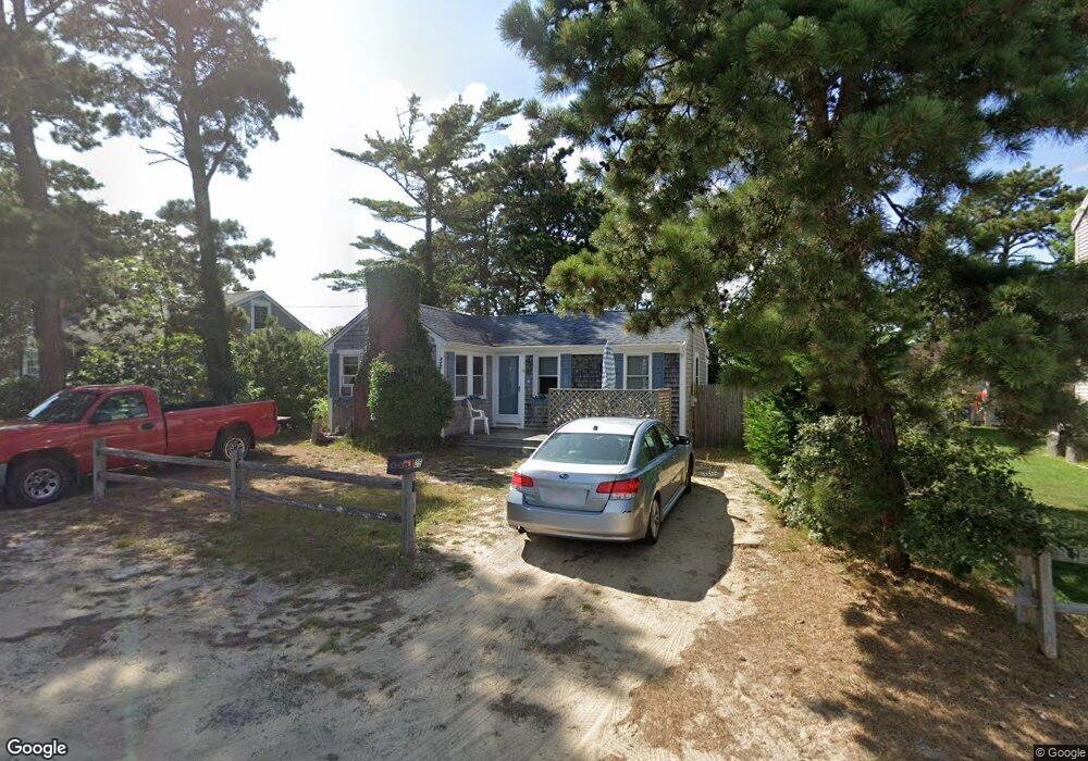
20 Hassan Rd Dennis Port, MA 2639
Dennis Port NeighborhoodEstimated Value: $687,000 - $924,000
3
Beds
1
Bath
800
Sq Ft
$990/Sq Ft
Est. Value
About This Home
This home is located at 20 Hassan Rd, Dennis Port, MA 2639 and is currently estimated at $792,227, approximately $990 per square foot. 20 Hassan Rd is a home located in Barnstable County with nearby schools including Dennis-Yarmouth Regional High School and St. Pius X. School.
Ownership History
Date
Name
Owned For
Owner Type
Purchase Details
Closed on
May 12, 1999
Sold by
Ehrhardt Walter H and Ehrhardt Judith S
Bought by
Rossi Rosemary J and Rossi Paul F
Current Estimated Value
Home Financials for this Owner
Home Financials are based on the most recent Mortgage that was taken out on this home.
Original Mortgage
$83,700
Interest Rate
6.92%
Mortgage Type
Purchase Money Mortgage
Create a Home Valuation Report for This Property
The Home Valuation Report is an in-depth analysis detailing your home's value as well as a comparison with similar homes in the area
Home Values in the Area
Average Home Value in this Area
Purchase History
| Date | Buyer | Sale Price | Title Company |
|---|---|---|---|
| Rossi Rosemary J | $93,000 | -- |
Source: Public Records
Mortgage History
| Date | Status | Borrower | Loan Amount |
|---|---|---|---|
| Open | Rossi Rosemary J | $80,000 | |
| Closed | Rossi Rosemary J | $83,700 |
Source: Public Records
Tax History Compared to Growth
Tax History
| Year | Tax Paid | Tax Assessment Tax Assessment Total Assessment is a certain percentage of the fair market value that is determined by local assessors to be the total taxable value of land and additions on the property. | Land | Improvement |
|---|---|---|---|---|
| 2025 | $3,366 | $777,400 | $281,400 | $496,000 |
| 2024 | $3,197 | $728,300 | $270,700 | $457,600 |
| 2023 | $3,092 | $662,100 | $246,000 | $416,100 |
| 2022 | $2,821 | $503,700 | $193,900 | $309,800 |
| 2021 | $2,628 | $435,800 | $190,100 | $245,700 |
| 2020 | $1,888 | $309,500 | $190,100 | $119,400 |
| 2019 | $1,903 | $308,400 | $202,400 | $106,000 |
| 2018 | $1,841 | $290,300 | $192,700 | $97,600 |
| 2017 | $1,672 | $271,900 | $177,500 | $94,400 |
| 2016 | $1,620 | $248,100 | $167,300 | $80,800 |
| 2015 | $1,588 | $248,100 | $167,300 | $80,800 |
| 2014 | $1,511 | $238,000 | $157,200 | $80,800 |
Source: Public Records
Map
Nearby Homes
- 37 Ocean Dr Unit 2
- 64 Beaten Rd
- 112 Old Wharf Rd Unit E4
- 112 Old Wharf Rd Unit E1
- 120 Old Wharf Rd Unit 11
- 154 Old Wharf Rd Unit 26
- 154 Old Wharf Rd Unit 14
- 80 Michaels Ave
- 6 Baker Way
- 217 Old Wharf Rd Unit 64
- 241 Old Wharf Rd Unit 82
- 241 Old Wharf Rd Unit 127
- 241 Old Wharf Rd Unit 90
- 31 Easy St
- 262 Old Wharf Rd Unit 67
- 262 Old Wharf Rd Unit 5
- 262 Old Wharf Rd Unit 5
- 262 Old Wharf Rd Unit 20
- 262 Old Wharf Rd Unit 87
- 61 Trotters Ln