Estimated Value: $376,000 - $400,854
--
Bed
--
Bath
1,837
Sq Ft
$209/Sq Ft
Est. Value
About This Home
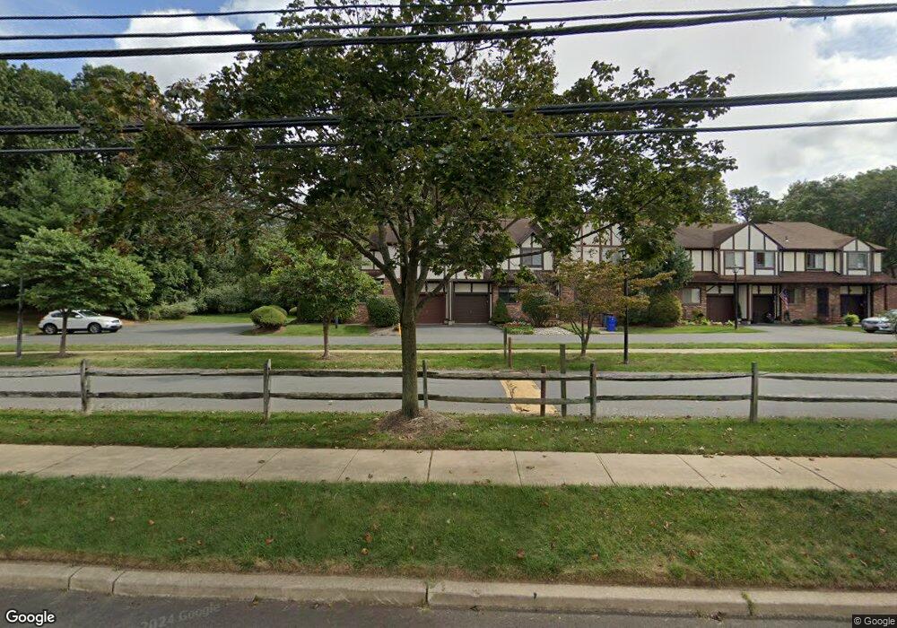
This home is located at 20 Hastings Ct, Ewing, NJ 08628 and is currently estimated at $384,464, approximately $209 per square foot. 20 Hastings Ct is a home located in Mercer County with nearby schools including Ewing High School, The Village Charter School, and Abrams Hebrew Academy.
Ownership History
Date
Name
Owned For
Owner Type
Purchase Details
Closed on
Jun 8, 2007
Sold by
Hankle Lori and Migliaccio Patrick Migliaccio
Bought by
Fentress Cynthia
Current Estimated Value
Home Financials for this Owner
Home Financials are based on the most recent Mortgage that was taken out on this home.
Interest Rate
6.53%
Purchase Details
Closed on
Mar 15, 2007
Purchase Details
Closed on
Mar 21, 2006
Sold by
Hershberger Jeffrey
Bought by
Migliaccio Patrick
Home Financials for this Owner
Home Financials are based on the most recent Mortgage that was taken out on this home.
Original Mortgage
$170,000
Interest Rate
6.32%
Purchase Details
Closed on
Oct 16, 1997
Sold by
Plumeri Michael
Bought by
Dassori William and Hershberger Prea Dassuri
Home Financials for this Owner
Home Financials are based on the most recent Mortgage that was taken out on this home.
Original Mortgage
$96,000
Interest Rate
7.28%
Purchase Details
Closed on
Apr 20, 1994
Sold by
Tamar Heights Inc
Bought by
Plumeri Michael and Sanverdine Michelle
Home Financials for this Owner
Home Financials are based on the most recent Mortgage that was taken out on this home.
Original Mortgage
$102,000
Interest Rate
7.7%
Create a Home Valuation Report for This Property
The Home Valuation Report is an in-depth analysis detailing your home's value as well as a comparison with similar homes in the area
Home Values in the Area
Average Home Value in this Area
Purchase History
| Date | Buyer | Sale Price | Title Company |
|---|---|---|---|
| Fentress Cynthia | -- | -- | |
| -- | $273,000 | -- | |
| Migliaccio Patrick | $269,900 | -- | |
| Dassori William | $120,500 | -- | |
| Plumeri Michael | $108,000 | -- |
Source: Public Records
Mortgage History
| Date | Status | Borrower | Loan Amount |
|---|---|---|---|
| Closed | Fentress Cynthia | -- | |
| Previous Owner | Migliaccio Patrick | $170,000 | |
| Previous Owner | Dassori William | $96,000 | |
| Previous Owner | Plumeri Michael | $102,000 |
Source: Public Records
Tax History Compared to Growth
Tax History
| Year | Tax Paid | Tax Assessment Tax Assessment Total Assessment is a certain percentage of the fair market value that is determined by local assessors to be the total taxable value of land and additions on the property. | Land | Improvement |
|---|---|---|---|---|
| 2025 | $7,850 | $199,600 | $49,700 | $149,900 |
| 2024 | $7,379 | $199,600 | $49,700 | $149,900 |
| 2023 | $7,379 | $199,600 | $49,700 | $149,900 |
| 2022 | $7,180 | $199,600 | $49,700 | $149,900 |
| 2021 | $7,004 | $199,600 | $49,700 | $149,900 |
| 2020 | $6,904 | $199,600 | $49,700 | $149,900 |
| 2019 | $6,725 | $199,600 | $49,700 | $149,900 |
| 2018 | $6,375 | $120,700 | $25,800 | $94,900 |
| 2017 | $6,524 | $120,700 | $25,800 | $94,900 |
| 2016 | $6,436 | $120,700 | $25,800 | $94,900 |
| 2015 | $6,350 | $120,700 | $25,800 | $94,900 |
| 2014 | $6,333 | $120,700 | $25,800 | $94,900 |
Source: Public Records
Map
Nearby Homes
- 4 Essex Ln
- 2 Devonshire Ct
- 15 Leicester Ln
- 9 Aragon Ct
- 14 Revere Ct
- 4 Westwood Dr
- 15 Duffield Dr
- 1 High Acres Dr
- 8 High Acres Dr
- 31 Montague Ave
- 33 Sunset Ave
- 1048 River Rd
- 0 1st Ave Unit 597140
- 182 W Upper Ferry Rd
- 202 W Upper Ferry Rd
- 12 Montague Ave
- 15 Tina Dr
- 43 W Upper Ferry Rd
- 86 Jacobs Creek Rd
- 6 Forrest Blend Dr