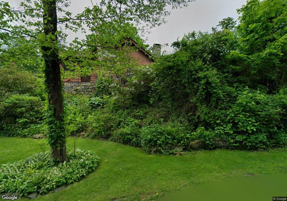
20 Hemlock Ave Newton, NJ 07860
Andover Township NeighborhoodEstimated Value: $547,000 - $865,000
--
Bed
--
Bath
2,146
Sq Ft
$306/Sq Ft
Est. Value
About This Home
This home is located at 20 Hemlock Ave, Newton, NJ 07860 and is currently estimated at $655,760, approximately $305 per square foot. 20 Hemlock Ave is a home located in Sussex County with nearby schools including Florence M. Burd School, Long Pond School, and Reverand George A. Brown School.
Ownership History
Date
Name
Owned For
Owner Type
Purchase Details
Closed on
Jul 22, 2020
Sold by
Baldwin Edward A and Baldwin Barabara Hunrath
Bought by
Sutherland Thomas W and Linck Irene
Current Estimated Value
Purchase Details
Closed on
May 11, 2016
Sold by
Baldwin Barbara Hunrath
Bought by
Baldwin Edward A and Baldwin Barbara Hunrath
Purchase Details
Closed on
Jul 22, 2015
Sold by
Baldwin Barbara Hunrath and Baldwin Barbara
Bought by
Baldwin Edward A and Baldwin Barbara Hunarth
Create a Home Valuation Report for This Property
The Home Valuation Report is an in-depth analysis detailing your home's value as well as a comparison with similar homes in the area
Home Values in the Area
Average Home Value in this Area
Purchase History
| Date | Buyer | Sale Price | Title Company |
|---|---|---|---|
| Sutherland Thomas W | $7,500 | None Available | |
| Baldwin Edward A | -- | None Available | |
| Baldwin Edward A | -- | Attorney |
Source: Public Records
Tax History Compared to Growth
Tax History
| Year | Tax Paid | Tax Assessment Tax Assessment Total Assessment is a certain percentage of the fair market value that is determined by local assessors to be the total taxable value of land and additions on the property. | Land | Improvement |
|---|---|---|---|---|
| 2025 | $15,424 | $366,100 | $130,400 | $235,700 |
| 2024 | $14,867 | $366,100 | $130,400 | $235,700 |
| 2023 | $14,867 | $366,100 | $130,400 | $235,700 |
| 2022 | $14,249 | $366,100 | $130,400 | $235,700 |
| 2021 | $14,044 | $366,100 | $130,400 | $235,700 |
| 2020 | $13,763 | $368,300 | $132,600 | $235,700 |
| 2019 | $13,443 | $368,300 | $132,600 | $235,700 |
| 2018 | $13,233 | $368,300 | $132,600 | $235,700 |
| 2017 | $12,949 | $368,300 | $132,600 | $235,700 |
| 2016 | $12,533 | $368,300 | $132,600 | $235,700 |
| 2015 | $10,985 | $308,400 | $172,100 | $136,300 |
| 2014 | $10,748 | $308,400 | $172,100 | $136,300 |
Source: Public Records
Map
Nearby Homes
- 13 Hemlock Ave
- 221 Sussex Ave
- 107 Overlook Rd
- 5 Percy Place
- 22 Ballantine Woods Way
- 41 Kilroy Rd
- 16 Kilroy Rd
- 3 Smith St
- 5 Railroad Ave
- 8 Brighton Ave
- 25 Prospect Ave
- 190 Andover Mohawk Rd
- 7 Martin St
- 68 & 70 Goodale Rd (5 9 Acres)
- 0 Martin St
- 70 Goodale Rd
- 15 Bernard Dr
- 19 Lourdes Ct
- 108 Hillside Dr
- 285 Stickles Pond Rd