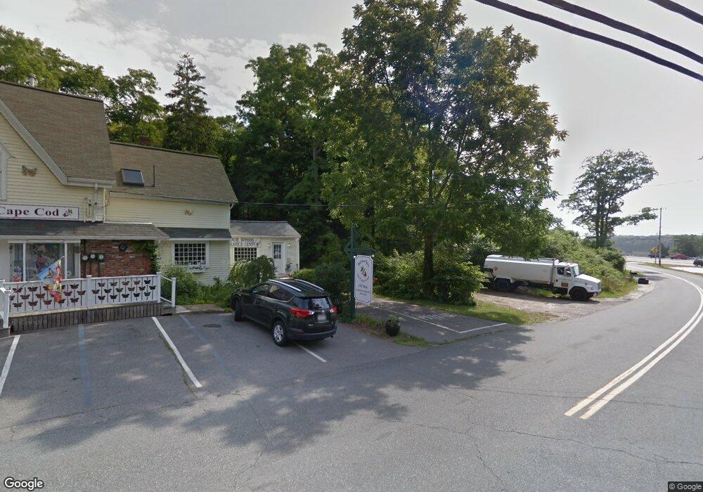
20 Herring Pond Rd Bourne, MA 2532
Estimated Value: $398,000 - $705,000
1
Bed
1
Bath
525
Sq Ft
$1,037/Sq Ft
Est. Value
About This Home
This home is located at 20 Herring Pond Rd, Bourne, MA 2532 and is currently estimated at $544,226, approximately $1,036 per square foot. 20 Herring Pond Rd is a home located in Barnstable County with nearby schools including Bourne High School, Bridgeview Montessori School, and New Testament Christian School.
Ownership History
Date
Name
Owned For
Owner Type
Purchase Details
Closed on
Nov 12, 2020
Sold by
Aj Michael Realty Llc
Bought by
Batstone Llc
Current Estimated Value
Purchase Details
Closed on
Jan 7, 2005
Sold by
Paint America Inc
Bought by
Aj Michael Realty Llc
Purchase Details
Closed on
Nov 14, 2003
Sold by
Marchand John P and Marchand Joan M
Bought by
Paint America Inc
Home Financials for this Owner
Home Financials are based on the most recent Mortgage that was taken out on this home.
Original Mortgage
$433,100
Interest Rate
5.81%
Mortgage Type
Purchase Money Mortgage
Create a Home Valuation Report for This Property
The Home Valuation Report is an in-depth analysis detailing your home's value as well as a comparison with similar homes in the area
Home Values in the Area
Average Home Value in this Area
Purchase History
| Date | Buyer | Sale Price | Title Company |
|---|---|---|---|
| Batstone Llc | $305,000 | None Available | |
| Aj Michael Realty Llc | $25,000 | -- | |
| Paint America Inc | $315,000 | -- |
Source: Public Records
Mortgage History
| Date | Status | Borrower | Loan Amount |
|---|---|---|---|
| Previous Owner | Paint America Inc | $433,100 |
Source: Public Records
Tax History Compared to Growth
Tax History
| Year | Tax Paid | Tax Assessment Tax Assessment Total Assessment is a certain percentage of the fair market value that is determined by local assessors to be the total taxable value of land and additions on the property. | Land | Improvement |
|---|---|---|---|---|
| 2025 | $3,664 | $469,200 | $427,400 | $41,800 |
| 2024 | $3,583 | $446,800 | $407,000 | $39,800 |
| 2023 | $3,483 | $395,400 | $360,200 | $35,200 |
| 2022 | $3,497 | $346,600 | $318,700 | $27,900 |
| 2021 | $3,398 | $315,500 | $290,100 | $25,400 |
| 2020 | $3,344 | $311,400 | $287,300 | $24,100 |
| 2019 | $3,258 | $310,000 | $287,300 | $22,700 |
| 2018 | $0 | $295,400 | $273,700 | $21,700 |
| 2017 | -- | $288,200 | $271,100 | $17,100 |
| 2016 | -- | $183,800 | $149,600 | $34,200 |
| 2015 | $1,851 | $183,800 | $149,600 | $34,200 |
Source: Public Records
Map
Nearby Homes
- 4 Dogwood Rd Unit H
- 2 Dogwood Rd Unit 2
- 2 Dogwood Rd
- 4 Dogwood Rd Unit 4
- 4 Bittersweet Ln Unit 4
- 6 Brigantine Passage Dr
- 6 Louis Ave
- 18 Heather Hill Rd
- 215 Roxy Cahoon Rd
- 33 Buzzards Bay Ave
- 21 Hillside Rd
- 51 Commonwealth Ave
- 51 Commonwealth Ave
- 4 Fieldwood Dr
- 4 Fieldwood Dr
- 16 Ocean Pines Dr Unit B
- 18 Ocean Pines Dr Unit A
- 18 Ocean Pines Dr Unit B
- 20 Fieldwood Dr
- 0 State Rd
- 20 Herring Pond Rd
- 16 Herring Pond Rd
- 12 Herring Pond Rd
- 8 Herring Pond Rd
- 26 Herring Pond Rd
- 26 Herring Pond Rd Unit 2
- 8 Dogwood Rd
- 8 Dogwood Rd
- 7 Dogwood Rd
- 6 Dogwood Rd
- 5 Dogwood Rd
- 8 Dogwood Rd Unit 8-H
- 8 Dogwood Rd Unit 8
- 8 Dogwood Rd Unit 8-H
- 5 Dogwood Rd Unit H5
- 5 Dogwood Rd Unit 5H
- 6 Dogwood Rd Unit 6
- 6 Dogwood Rd Unit 6H
- 6 Dogwood Rd
- 8 Dogwood Rd