20 High St Ashburnham, MA 01430
Estimated Value: $481,000 - $590,000
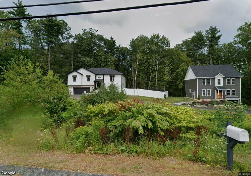
About This Home
This home is located at 20 High St, Ashburnham, MA 01430 and is currently estimated at $521,131, approximately $317 per square foot. 20 High St is a home with nearby schools including Oakmont Regional High School and Cushing Academy.
Ownership History
We collect this data history from publicly available records. To have your information removed, we recommend requesting removal directly through your county’s website.
Purchase Details
Home Financials for this Owner
Home Financials are based on the most recent Mortgage that was taken out on this home.Home Values in the Area
Average Home Value in this Area
Purchase History
We collect this data history from publicly available records. To have your information removed, we recommend requesting removal directly through your county’s website.
| Date | Buyer | Sale Price | Title Company |
|---|---|---|---|
| $450,800 | None Available | ||
| $450,800 | None Available |
Mortgage History
We collect this data history from publicly available records. To have your information removed, we recommend requesting removal directly through your county’s website.
| Date | Status | Borrower | Loan Amount |
|---|---|---|---|
| Open | $428,260 | ||
| Closed | $428,260 |
Tax History
We collect this data history from publicly available records. To have your information removed, we recommend requesting removal directly through your county’s website.
| Year | Tax Paid | Tax Assessment Tax Assessment Total Assessment is a certain percentage of the fair market value that is determined by local assessors to be the total taxable value of land and additions on the property. | Land | Improvement |
|---|---|---|---|---|
| 2025 | $6,952 | $467,500 | $39,400 | $428,100 |
| 2024 | $621 | $39,400 | $39,400 | $0 |
| 2023 | $735 | $39,400 | $39,400 | $0 |
| 2022 | $810 | $38,500 | $38,500 | $0 |
| 2021 | $791 | $38,500 | $38,500 | $0 |
| 2020 | $774 | $38,500 | $38,500 | $0 |
| 2019 | $868 | $38,500 | $38,500 | $0 |
| 2018 | $856 | $36,600 | $36,600 | $0 |
| 2017 | $868 | $37,800 | $37,800 | $0 |
| 2016 | $967 | $42,500 | $42,500 | $0 |
| 2015 | $947 | $42,500 | $42,500 | $0 |
Map
- 100 Main St
- 16 Chapel St
- 12 Valerie Cir
- 15 Central St
- 40 Corey Hill Rd
- 53 Central St
- 18 Main St
- 9 Willard Rd
- 17 Fairview Ave
- 100 Corey Hill Rd
- 57 Ashby Rd
- 75 Willard Rd
- 38 Hemlock Rd
- 45 River Styx Rd
- 39 Fitchburg State Rd
- 46 Fitchburg Rd
- 132 Willard Rd
- Lot 40C Winchendon Rd
- 159 Ashby Rd
- 130 Center St
Ask me questions while you tour the home.