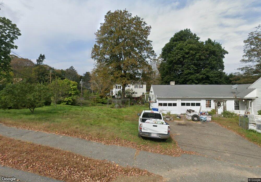
20 High St Warren, MA 01083
Estimated Value: $281,000 - $393,000
4
Beds
2
Baths
2,749
Sq Ft
$123/Sq Ft
Est. Value
About This Home
This home is located at 20 High St, Warren, MA 01083 and is currently estimated at $338,229, approximately $123 per square foot. 20 High St is a home with nearby schools including Quaboag Regional High School.
Ownership History
Date
Name
Owned For
Owner Type
Purchase Details
Closed on
Dec 23, 2025
Sold by
Olearczyk Mark K and Olearczyk Barbara M
Bought by
Olearczyk Ft 2025 and Olearczyk
Current Estimated Value
Purchase Details
Closed on
Jun 7, 1991
Sold by
Dolan John W and Dolan Lisa J
Bought by
Olearczyk Mark K and Olearczyk Barbara
Home Financials for this Owner
Home Financials are based on the most recent Mortgage that was taken out on this home.
Original Mortgage
$117,294
Interest Rate
9.42%
Mortgage Type
Purchase Money Mortgage
Create a Home Valuation Report for This Property
The Home Valuation Report is an in-depth analysis detailing your home's value as well as a comparison with similar homes in the area
Home Values in the Area
Average Home Value in this Area
Purchase History
| Date | Buyer | Sale Price | Title Company |
|---|---|---|---|
| Olearczyk Ft 2025 | -- | -- | |
| Olearczyk Mark K | $119,000 | -- | |
| Olearczyk Mark K | $119,000 | -- |
Source: Public Records
Mortgage History
| Date | Status | Borrower | Loan Amount |
|---|---|---|---|
| Previous Owner | Olearczyk Mark K | $116,567 | |
| Previous Owner | Olearczyk Mark K | $117,294 |
Source: Public Records
Tax History
| Year | Tax Paid | Tax Assessment Tax Assessment Total Assessment is a certain percentage of the fair market value that is determined by local assessors to be the total taxable value of land and additions on the property. | Land | Improvement |
|---|---|---|---|---|
| 2025 | $4,248 | $286,800 | $47,100 | $239,700 |
| 2024 | $4,322 | $286,800 | $47,100 | $239,700 |
| 2023 | $4,154 | $262,900 | $47,100 | $215,800 |
| 2022 | $3,629 | $233,200 | $38,700 | $194,500 |
| 2021 | $3,473 | $217,600 | $36,600 | $181,000 |
| 2020 | $3,494 | $203,600 | $36,600 | $167,000 |
| 2019 | $3,487 | $192,100 | $36,600 | $155,500 |
| 2018 | $3,208 | $185,200 | $36,600 | $148,600 |
| 2017 | $6,100 | $177,700 | $38,000 | $139,700 |
| 2016 | $3,371 | $169,900 | $36,300 | $133,600 |
| 2015 | $3,186 | $169,900 | $36,300 | $133,600 |
| 2014 | $3,245 | $169,900 | $36,300 | $133,600 |
Source: Public Records
Map
Nearby Homes
- 59 High St
- 233 Maple St
- 170 Bridge St
- Lot 4 Brimfield Rd
- 83 Comins Pond Rd
- 36 Nelson St
- 35 Bacon St
- Lot 8 Southbridge Rd
- LOT 7 Southbridge Rd
- 111 Quaboag St
- 17 Otis St
- 29 Liberty St
- Lot 5 Brimfield Rd
- Lot 3 Brimfield Rd
- Lot 7 Reed St
- 366 Southbridge Rd
- 0 Town Farm Rd
- 95 Town Farm Rd
- Lot 2 Brimfield Rd
- Lot 1 Brimfield Rd