20 Highbank Cir Dennis Port, MA 02639
Dennis Port NeighborhoodEstimated Value: $1,637,000 - $3,097,332
5
Beds
3
Baths
3,626
Sq Ft
$653/Sq Ft
Est. Value
About This Home
This home is located at 20 Highbank Cir, Dennis Port, MA 02639 and is currently estimated at $2,367,166, approximately $652 per square foot. 20 Highbank Cir is a home located in Barnstable County with nearby schools including Dennis-Yarmouth Regional High School and St. Pius X. School.
Ownership History
Date
Name
Owned For
Owner Type
Purchase Details
Closed on
Aug 7, 2024
Sold by
Deprisco Francis E and Deprisco Marie C
Bought by
Deprisco Donna M
Current Estimated Value
Purchase Details
Closed on
Jul 14, 2020
Sold by
Deprisco Donna M
Bought by
Deprisco Donna M and Deprisco Francis E
Purchase Details
Closed on
Aug 7, 2018
Sold by
Deprisco Marie C and Deprisco Francis E
Bought by
Deprisco Donna M
Purchase Details
Closed on
Aug 24, 1967
Bought by
Deprisco Francis E
Create a Home Valuation Report for This Property
The Home Valuation Report is an in-depth analysis detailing your home's value as well as a comparison with similar homes in the area
Home Values in the Area
Average Home Value in this Area
Purchase History
| Date | Buyer | Sale Price | Title Company |
|---|---|---|---|
| Deprisco Donna M | -- | None Available | |
| Deprisco Donna M | -- | None Available | |
| Deprisco Donna M | -- | -- | |
| Deprisco Francis E | -- | -- |
Source: Public Records
Mortgage History
| Date | Status | Borrower | Loan Amount |
|---|---|---|---|
| Previous Owner | Deprisco Francis E | $969,000 |
Source: Public Records
Tax History Compared to Growth
Tax History
| Year | Tax Paid | Tax Assessment Tax Assessment Total Assessment is a certain percentage of the fair market value that is determined by local assessors to be the total taxable value of land and additions on the property. | Land | Improvement |
|---|---|---|---|---|
| 2025 | $11,452 | $2,644,800 | $1,438,700 | $1,206,100 |
| 2024 | $11,180 | $2,546,600 | $1,383,500 | $1,163,100 |
| 2023 | $10,812 | $2,315,200 | $1,257,700 | $1,057,500 |
| 2022 | $10,748 | $1,919,300 | $1,133,000 | $786,300 |
| 2021 | $2,183 | $1,747,600 | $1,110,700 | $636,900 |
| 2020 | $10,563 | $1,731,700 | $1,110,700 | $621,000 |
| 2019 | $2,146 | $1,610,700 | $1,089,000 | $521,700 |
| 2018 | $8,411 | $1,326,600 | $834,400 | $492,200 |
| 2017 | $8,159 | $1,326,600 | $834,400 | $492,200 |
| 2016 | $8,947 | $1,370,200 | $954,500 | $415,700 |
| 2015 | $8,769 | $1,370,200 | $954,500 | $415,700 |
| 2014 | $8,617 | $1,357,000 | $954,500 | $402,500 |
Source: Public Records
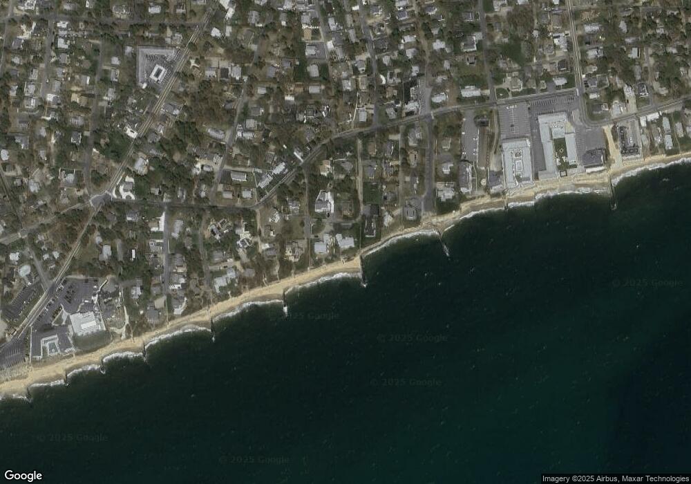
Map
Nearby Homes
- 405 Old Wharf Rd Unit B204
- 405 Old Wharf Rd Unit B204
- 402 Old Wharf Rd
- 402 Old Wharf Rd
- 102 Sea St
- 9 Chase Ave Unit 6
- 11 Ocean Park W
- 22 Ferncliff Rd
- 37-A Beach Hills Rd
- 37 Beach Hills Rd
- 262 Old Wharf Rd Unit 67
- 262 Old Wharf Rd Unit 5
- 262 Old Wharf Rd Unit 5
- 262 Old Wharf Rd Unit 20
- 262 Old Wharf Rd Unit 87
- 241 Old Wharf Rd Unit 82
- 241 Old Wharf Rd Unit 127
- 241 Old Wharf Rd Unit 90
- 217 Old Wharf Rd Unit 64
- 1 E Belmont Unit 630
- 26 Highbank Cir
- 15 Highbank Cir
- 16 Highbank Cir
- 21 Highbank Cir
- 11 Highbank Cir
- 47 Highbank Cir
- 3 Beach Pine Rd
- 34 Highbank Cir
- 30 Highbank Cir
- 55 Highbank Cir
- 9 Highbank Cir
- 9 Beach Pine Rd
- 25 Highbank Cir
- 40 Highbank Cir
- 2 Beach Pine Rd
- 60 Highbank Cir
- 5 Highbank Cir
- 365 Old Wharf Rd
- 4 Beach Pine Rd
- 8 Union Wharf Rd