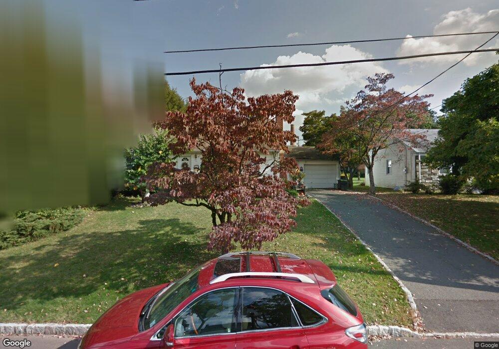
20 Highview Rd Caldwell, NJ 07006
Estimated Value: $667,000 - $810,000
Studio
--
Bath
1,875
Sq Ft
$386/Sq Ft
Est. Value
About This Home
This home is located at 20 Highview Rd, Caldwell, NJ 07006 and is currently estimated at $723,856, approximately $386 per square foot. 20 Highview Rd is a home located in Essex County with nearby schools including James Caldwell High School, Trinity Academy, and Essex Valley School.
Ownership History
Date
Name
Owned For
Owner Type
Purchase Details
Closed on
Aug 9, 2001
Sold by
Mayes Mary
Bought by
Mullin Richard and Mullin Maureen
Current Estimated Value
Home Financials for this Owner
Home Financials are based on the most recent Mortgage that was taken out on this home.
Original Mortgage
$210,000
Outstanding Balance
$81,977
Interest Rate
7.16%
Estimated Equity
$641,879
Purchase Details
Closed on
Sep 7, 1995
Sold by
Howell Dolores
Bought by
Mayes John and Mayes Mary
Home Financials for this Owner
Home Financials are based on the most recent Mortgage that was taken out on this home.
Original Mortgage
$110,000
Interest Rate
7.81%
Create a Home Valuation Report for This Property
The Home Valuation Report is an in-depth analysis detailing your home's value as well as a comparison with similar homes in the area
Home Values in the Area
Average Home Value in this Area
Purchase History
| Date | Buyer | Sale Price | Title Company |
|---|---|---|---|
| Mullin Richard | $295,000 | -- | |
| Mayes John | $210,000 | -- |
Source: Public Records
Mortgage History
| Date | Status | Borrower | Loan Amount |
|---|---|---|---|
| Open | Mullin Richard | $210,000 | |
| Previous Owner | Mayes John | $110,000 |
Source: Public Records
Tax History
| Year | Tax Paid | Tax Assessment Tax Assessment Total Assessment is a certain percentage of the fair market value that is determined by local assessors to be the total taxable value of land and additions on the property. | Land | Improvement |
|---|---|---|---|---|
| 2025 | $14,384 | $463,700 | $259,300 | $204,400 |
| 2024 | $14,384 | $463,700 | $259,300 | $204,400 |
| 2022 | $14,018 | $463,700 | $259,300 | $204,400 |
| 2021 | $13,345 | $463,700 | $259,300 | $204,400 |
| 2020 | $12,998 | $463,700 | $259,300 | $204,400 |
| 2019 | $12,469 | $446,900 | $259,300 | $187,600 |
| 2018 | $12,142 | $446,900 | $259,300 | $187,600 |
| 2017 | $11,896 | $446,900 | $259,300 | $187,600 |
| 2016 | $12,668 | $467,100 | $301,700 | $165,400 |
| 2015 | $12,084 | $467,100 | $301,700 | $165,400 |
| 2014 | $11,318 | $467,100 | $301,700 | $165,400 |
Source: Public Records
Map
Nearby Homes
- 16 Magnolia Ln Unit C0016
- 37 Espy Rd Unit 6B
- 35 Espy Rd
- 35 Espy Rd Unit 5B
- 27 Espy Rd Unit A7
- 3 Springdale Rd
- 15 Overlook Rd
- 207 Westville Ave
- 666 Bloomfield Ave Unit 30
- 12 Ward Place
- 122 Westover Ave
- 27 Roseland Ave Unit 29
- 66 Park Ave
- 173 Runnymede Rd
- 179 Roseland Ave Unit 12
- 510 Passaic Ave
- 26 Wootton Rd
- 79 Fairfield Ave
- 66 Smull Ave
- 33 Laurel Place
Your Personal Tour Guide
Ask me questions while you tour the home.