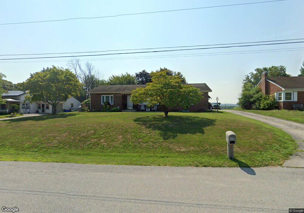
20 Hillcrest Dr Hanover, PA 17331
Estimated Value: $289,978 - $338,000
2
Beds
1
Bath
1,456
Sq Ft
$216/Sq Ft
Est. Value
About This Home
This home is located at 20 Hillcrest Dr, Hanover, PA 17331 and is currently estimated at $314,495, approximately $215 per square foot. 20 Hillcrest Dr is a home located in York County with nearby schools including South Western Senior High School and St Joseph Catholic School.
Ownership History
Date
Name
Owned For
Owner Type
Purchase Details
Closed on
Mar 26, 2004
Sold by
Miller William E and Miller Lois A
Bought by
Sanders Scott L and Sanders Jennifer L
Current Estimated Value
Home Financials for this Owner
Home Financials are based on the most recent Mortgage that was taken out on this home.
Original Mortgage
$164,803
Outstanding Balance
$77,013
Interest Rate
5.56%
Mortgage Type
Purchase Money Mortgage
Estimated Equity
$237,482
Create a Home Valuation Report for This Property
The Home Valuation Report is an in-depth analysis detailing your home's value as well as a comparison with similar homes in the area
Home Values in the Area
Average Home Value in this Area
Purchase History
| Date | Buyer | Sale Price | Title Company |
|---|---|---|---|
| Sanders Scott L | $169,900 | -- |
Source: Public Records
Mortgage History
| Date | Status | Borrower | Loan Amount |
|---|---|---|---|
| Open | Sanders Scott L | $164,803 |
Source: Public Records
Tax History Compared to Growth
Tax History
| Year | Tax Paid | Tax Assessment Tax Assessment Total Assessment is a certain percentage of the fair market value that is determined by local assessors to be the total taxable value of land and additions on the property. | Land | Improvement |
|---|---|---|---|---|
| 2025 | $4,983 | $149,190 | $34,460 | $114,730 |
| 2024 | $4,983 | $149,190 | $34,460 | $114,730 |
| 2023 | $4,893 | $149,190 | $34,460 | $114,730 |
| 2022 | $4,817 | $149,190 | $34,460 | $114,730 |
| 2021 | $4,598 | $149,190 | $34,460 | $114,730 |
| 2020 | $4,598 | $149,190 | $34,460 | $114,730 |
| 2019 | $4,510 | $149,190 | $34,460 | $114,730 |
| 2018 | $4,435 | $149,190 | $34,460 | $114,730 |
| 2017 | $4,349 | $149,190 | $34,460 | $114,730 |
| 2016 | $0 | $149,190 | $34,460 | $114,730 |
| 2015 | -- | $149,190 | $34,460 | $114,730 |
| 2014 | -- | $149,190 | $34,460 | $114,730 |
Source: Public Records
Map
Nearby Homes
- 2432 Crystal Clear Dr
- 2401 Baltimore Pike
- 2512 Baltimore Pike
- 59 Pheasant Ridge Rd
- 41 Michelle Way
- 71 Pheasant Ridge Rd
- TBB Pheasant Ridge Rd Unit CRANBERRY
- 0 Homesite 96 Pheasant Ridge Rd Unit 36425314
- 90 Michelle Way
- 96 Pheasant Ridge Rd
- 186 Skylite Dr
- 420 Shorbs Hill Rd
- TBB Michelle Way Unit GLENSHAW
- Carnegie II Plan at Prinland Heights - Single Family Homes
- Edgewood II Plan at Prinland Heights - Single Family Homes
- Newbury II Plan at Prinland Heights - Single Family Homes
- Cranberry II Plan at Prinland Heights - Single Family Homes
- Bridgeport II Plan at Prinland Heights - Single Family Homes
- Glenshaw Plan at Prinland Heights - Single Family Homes
- New Haven II Plan at Prinland Heights - Single Family Homes
- 30 Hillcrest Dr
- 10 Hillcrest Dr
- 40 Hillcrest Dr
- 132 Shorbs Hill Rd
- 155 Shorbs Hill Rd
- 97 Sunnyside Dr
- 50 Hillcrest Dr
- 41 Hillcrest Dr
- 2230 Reservoir Heights Dr
- 135 Shorbs Hill Rd
- 109 Sunnyside Dr
- 123 Shorbs Hill Rd
- 2428 Crystal Clear Dr
- 2436 Crystal Clear Dr
- 2440 Crystal Clear Dr
- 76 Hillcrest Dr
- 2424 Crystal Clear Dr
- 94 Shorbs Hill Rd
- 107 Shorbs Hill Rd
- 90 Hillcrest Dr