20 Hobson Ave Windsor, CT 06095
Estimated Value: $394,000 - $464,000
2
Beds
3
Baths
2,300
Sq Ft
$188/Sq Ft
Est. Value
About This Home
This home is located at 20 Hobson Ave, Windsor, CT 06095 and is currently estimated at $431,436, approximately $187 per square foot. 20 Hobson Ave is a home located in Hartford County with nearby schools including Oliver Ellsworth School, John F. Kennedy School, and Sage Park Middle School.
Ownership History
Date
Name
Owned For
Owner Type
Purchase Details
Closed on
Sep 16, 2005
Sold by
Johnson Claudette
Bought by
King Wayne and Cohall Cecille
Current Estimated Value
Purchase Details
Closed on
Aug 2, 2001
Sold by
Sauer Edward
Bought by
Johnson Claudette
Create a Home Valuation Report for This Property
The Home Valuation Report is an in-depth analysis detailing your home's value as well as a comparison with similar homes in the area
Home Values in the Area
Average Home Value in this Area
Purchase History
| Date | Buyer | Sale Price | Title Company |
|---|---|---|---|
| King Wayne | $290,000 | -- | |
| Johnson Claudette | $210,000 | -- |
Source: Public Records
Mortgage History
| Date | Status | Borrower | Loan Amount |
|---|---|---|---|
| Open | Johnson Claudette | $200,000 | |
| Closed | Johnson Claudette | $210,000 | |
| Closed | Johnson Claudette | $50,000 |
Source: Public Records
Tax History
| Year | Tax Paid | Tax Assessment Tax Assessment Total Assessment is a certain percentage of the fair market value that is determined by local assessors to be the total taxable value of land and additions on the property. | Land | Improvement |
|---|---|---|---|---|
| 2025 | $7,307 | $256,830 | $49,700 | $207,130 |
| 2024 | $7,787 | $256,830 | $49,700 | $207,130 |
| 2023 | $5,899 | $175,560 | $40,180 | $135,380 |
| 2022 | $5,841 | $175,560 | $40,180 | $135,380 |
| 2021 | $5,841 | $175,560 | $40,180 | $135,380 |
| 2020 | $5,813 | $175,560 | $40,180 | $135,380 |
| 2019 | $5,685 | $175,560 | $40,180 | $135,380 |
| 2018 | $5,549 | $168,350 | $40,180 | $128,170 |
| 2017 | $5,463 | $168,350 | $40,180 | $128,170 |
| 2016 | $5,306 | $168,350 | $40,180 | $128,170 |
| 2015 | $5,205 | $168,350 | $40,180 | $128,170 |
| 2014 | $5,130 | $168,350 | $40,180 | $128,170 |
Source: Public Records
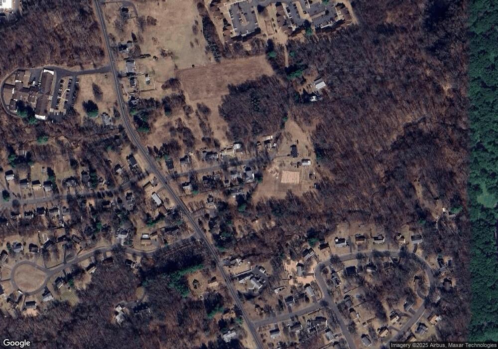
Map
Nearby Homes
- 39 Warham St
- 16 Cornfield Rd
- 9 Brown Ave
- 490 Old Day Hill Rd
- 16 Brown Ave
- 66 Maple Ave
- 105 Trent Dr
- 28 Sycamore St
- 22 Eastview Dr
- 22 Apple Tree Ln
- 318 Capen St
- 342 Capen St
- 268 High Path Rd Unit 268
- 211 MacKtown Rd
- 1333 Palisado Ave
- 943 High Path Rd Unit 943
- 136 High Path Rd
- 118 High Path Rd Unit 118
- 98 High Path Rd
- 58 High Path Rd Unit 58
- 22 Hobson Ave
- 16 Hobson Ave
- 17 Hobson Ave
- 10 Hobson Ave
- 35 Hobson Ave
- 27 Hobson Ave
- 15 Hobson Ave
- 514 Poquonock Ave
- 4 Hobson Ave
- 9 Hobson Ave
- 492 Poquonock Ave
- 530 Poquonock Ave
- 476 Poquonock Ave
- 515 Poquonock Ave
- 92 Tiffany Dr
- 4 Adam Hill
- 521 Poquonock Ave
- 527 Poquonock Ave
- 11 Dewey Ave
- 88 Tiffany Dr
Your Personal Tour Guide
Ask me questions while you tour the home.