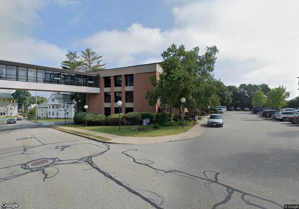
20 Hope Ave Unit 111 Waltham, MA 02453
Bank Square NeighborhoodEstimated Value: $192,325
--
Bed
--
Bath
703
Sq Ft
$274/Sq Ft
Est. Value
About This Home
This home is located at 20 Hope Ave Unit 111, Waltham, MA 02453 and is currently estimated at $192,325, approximately $273 per square foot. 20 Hope Ave Unit 111 is a home located in Middlesex County with nearby schools including William F. Stanley Elementary School, John W. Mcdevitt Middle School, and Waltham Sr High School.
Ownership History
Date
Name
Owned For
Owner Type
Purchase Details
Closed on
May 19, 2022
Sold by
Dreyfuss Evelyne R
Bought by
Childrens Urological Fndt
Current Estimated Value
Purchase Details
Closed on
Mar 3, 1989
Sold by
Huang Bernard L
Bought by
Keljon Rt
Home Financials for this Owner
Home Financials are based on the most recent Mortgage that was taken out on this home.
Original Mortgage
$90,000
Interest Rate
10.63%
Mortgage Type
Commercial
Create a Home Valuation Report for This Property
The Home Valuation Report is an in-depth analysis detailing your home's value as well as a comparison with similar homes in the area
Home Values in the Area
Average Home Value in this Area
Purchase History
| Date | Buyer | Sale Price | Title Company |
|---|---|---|---|
| Childrens Urological Fndt | $170,000 | None Available | |
| Keljon Rt | $95,000 | -- |
Source: Public Records
Mortgage History
| Date | Status | Borrower | Loan Amount |
|---|---|---|---|
| Previous Owner | Keljon Rt | $90,000 |
Source: Public Records
Tax History Compared to Growth
Tax History
| Year | Tax Paid | Tax Assessment Tax Assessment Total Assessment is a certain percentage of the fair market value that is determined by local assessors to be the total taxable value of land and additions on the property. | Land | Improvement |
|---|---|---|---|---|
| 2025 | $0 | $176,000 | $0 | $176,000 |
| 2024 | $0 | $159,400 | $0 | $159,400 |
| 2023 | $3,016 | $137,400 | $0 | $137,400 |
| 2022 | $2,672 | $116,800 | $0 | $116,800 |
| 2021 | $2,696 | $116,800 | $0 | $116,800 |
| 2020 | $2,845 | $116,800 | $0 | $116,800 |
| 2019 | $2,883 | $109,000 | $0 | $109,000 |
| 2018 | $3,217 | $115,000 | $0 | $115,000 |
| 2017 | $3,340 | $115,000 | $0 | $115,000 |
| 2016 | $3,396 | $115,000 | $0 | $115,000 |
| 2015 | $3,440 | $108,200 | $0 | $108,200 |
Source: Public Records
Map
Nearby Homes
- 39 Floyd St Unit 2
- 79-81 Vernon St
- 948 Main St Unit 209
- 948 Main St Unit 105
- 85 Crescent St
- 32 Harvard St Unit 2
- 55-57 Crescent St
- 15 Banks St Unit 4
- 15 Howard St
- 43-45 Welligton Unit 3
- 73 Orange St Unit 2
- 15 Alder St Unit 1
- 7-11.5 Felton
- 61 Hall St Unit 1
- 61 Hall St Unit 9
- 61 Hall St Unit 2
- 61 Hall St Unit 7
- 47 Alder St Unit 6
- 40 Myrtle St Unit 9
- 42 Alder St
- 20 Hope Ave Unit 204
- 20 Hope Ave Unit 208
- 20 Hope Ave Unit G5
- 20 Hope Ave Unit 107
- 49 Sharon St
- 49 Sharon St
- 49 Sharon St Unit 1
- 39 Sharon St Unit 41
- 43 Curtis St
- 40 Highland St
- 48 Highland St
- 50 Highland St
- 41 Curtis St
- 50 Curtis St
- 58 Curtis St Unit 60
- 60 Hope Ave
- 19-21 Bellevue St Unit 1
- 19-21 Bellevue St Unit 3
- 19-21 Bellevue St Unit 2
- 46 Curtis St