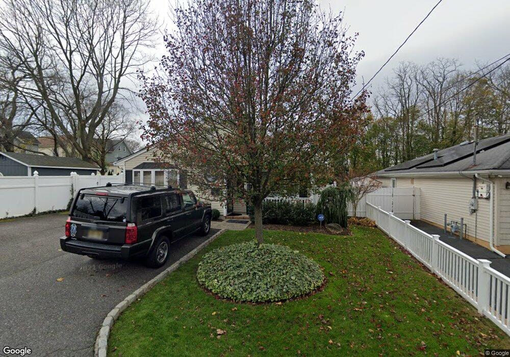
20 Howland Place Long Branch, NJ 07740
Estimated Value: $560,588 - $589,000
3
Beds
2
Baths
1,512
Sq Ft
$380/Sq Ft
Est. Value
About This Home
This home is located at 20 Howland Place, Long Branch, NJ 07740 and is currently estimated at $574,647, approximately $380 per square foot. 20 Howland Place is a home located in Monmouth County with nearby schools including Long Branch High School, Holy Trinity School, and Bet Yaakov of the Jersey Shore.
Ownership History
Date
Name
Owned For
Owner Type
Purchase Details
Closed on
Aug 10, 2005
Sold by
Reyes Catherine
Bought by
Oliveira Antonio
Current Estimated Value
Home Financials for this Owner
Home Financials are based on the most recent Mortgage that was taken out on this home.
Original Mortgage
$268,000
Outstanding Balance
$146,080
Interest Rate
6.25%
Mortgage Type
Adjustable Rate Mortgage/ARM
Estimated Equity
$428,567
Purchase Details
Closed on
Nov 21, 1993
Sold by
Riche Bruce
Bought by
Reyes Catherine and Reyes Betty
Home Financials for this Owner
Home Financials are based on the most recent Mortgage that was taken out on this home.
Original Mortgage
$96,000
Interest Rate
7.08%
Create a Home Valuation Report for This Property
The Home Valuation Report is an in-depth analysis detailing your home's value as well as a comparison with similar homes in the area
Home Values in the Area
Average Home Value in this Area
Purchase History
| Date | Buyer | Sale Price | Title Company |
|---|---|---|---|
| Oliveira Antonio | $335,000 | -- | |
| Reyes Catherine | $101,000 | -- |
Source: Public Records
Mortgage History
| Date | Status | Borrower | Loan Amount |
|---|---|---|---|
| Open | Oliveira Antonio | $268,000 | |
| Previous Owner | Reyes Catherine | $96,000 |
Source: Public Records
Tax History Compared to Growth
Tax History
| Year | Tax Paid | Tax Assessment Tax Assessment Total Assessment is a certain percentage of the fair market value that is determined by local assessors to be the total taxable value of land and additions on the property. | Land | Improvement |
|---|---|---|---|---|
| 2025 | $7,345 | $530,400 | $331,800 | $198,600 |
| 2024 | $6,235 | $477,900 | $270,900 | $207,000 |
| 2023 | $6,235 | $401,500 | $203,900 | $197,600 |
| 2022 | $5,046 | $304,400 | $130,300 | $174,100 |
| 2021 | $5,046 | $273,100 | $110,300 | $162,800 |
| 2020 | $5,480 | $262,200 | $100,300 | $161,900 |
| 2019 | $5,247 | $249,600 | $95,300 | $154,300 |
| 2018 | $5,095 | $241,000 | $92,300 | $148,700 |
| 2017 | $4,909 | $238,200 | $92,300 | $145,900 |
| 2016 | $4,757 | $235,400 | $93,300 | $142,100 |
| 2015 | $5,612 | $252,000 | $87,500 | $164,500 |
| 2014 | $5,158 | $244,100 | $98,100 | $146,000 |
Source: Public Records
Map
Nearby Homes
- 18 Howland Place
- 667 Morford Ave
- 663 Morford Ave
- 669 Morford Ave
- 661 Morford Ave
- 679 Morford Ave
- 14 Howland Place
- 659 Morford Ave
- 25 Howland Place
- 657 Morford Ave
- 21 Howland Place
- 16 Howland Place
- 681 Morford Ave
- 10 Howland Place
- 683 Morford Ave
- 17 Howland Place
- 655 Morford Ave
- 15 Howland Place
- 687 Morford Ave
- 32 Grove St