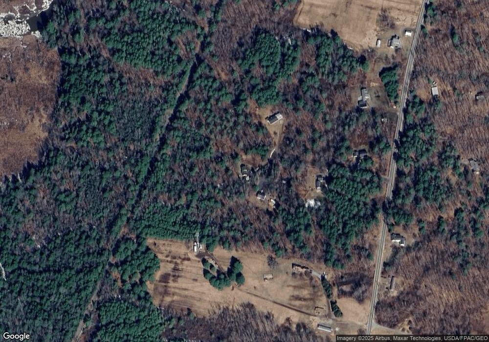
20 Hunter Ln Bowdoinham, ME 04008
Estimated Value: $404,046 - $968,000
4
Beds
2
Baths
2,825
Sq Ft
$209/Sq Ft
Est. Value
About This Home
This home is located at 20 Hunter Ln, Bowdoinham, ME 04008 and is currently estimated at $589,762, approximately $208 per square foot. 20 Hunter Ln is a home located in Sagadahoc County with nearby schools including Mt Ararat High School.
Ownership History
Date
Name
Owned For
Owner Type
Purchase Details
Closed on
Oct 31, 2011
Sold by
Usa
Bought by
Clark Deandra L
Current Estimated Value
Home Financials for this Owner
Home Financials are based on the most recent Mortgage that was taken out on this home.
Original Mortgage
$153,325
Outstanding Balance
$103,082
Interest Rate
4.11%
Mortgage Type
Commercial
Estimated Equity
$486,680
Purchase Details
Closed on
Aug 9, 2005
Sold by
Dennis Daniel W
Bought by
Dennis Daniel W and Dennis Marla T
Home Financials for this Owner
Home Financials are based on the most recent Mortgage that was taken out on this home.
Original Mortgage
$198,000
Interest Rate
5.63%
Mortgage Type
Commercial
Create a Home Valuation Report for This Property
The Home Valuation Report is an in-depth analysis detailing your home's value as well as a comparison with similar homes in the area
Home Values in the Area
Average Home Value in this Area
Purchase History
| Date | Buyer | Sale Price | Title Company |
|---|---|---|---|
| Clark Deandra L | $150,000 | -- | |
| Dennis Daniel W | -- | -- |
Source: Public Records
Mortgage History
| Date | Status | Borrower | Loan Amount |
|---|---|---|---|
| Open | Clark Deandra L | $153,325 | |
| Previous Owner | Dennis Daniel W | $198,000 |
Source: Public Records
Tax History
| Year | Tax Paid | Tax Assessment Tax Assessment Total Assessment is a certain percentage of the fair market value that is determined by local assessors to be the total taxable value of land and additions on the property. | Land | Improvement |
|---|---|---|---|---|
| 2025 | $5,472 | $247,500 | $73,500 | $174,000 |
| 2024 | $5,198 | $247,500 | $73,500 | $174,000 |
| 2023 | $4,826 | $247,500 | $73,500 | $174,000 |
| 2022 | $3,775 | $208,700 | $61,200 | $147,500 |
| 2021 | $3,542 | $208,700 | $61,200 | $147,500 |
| 2020 | $3,521 | $208,700 | $61,200 | $147,500 |
| 2019 | $3,437 | $208,700 | $61,200 | $147,500 |
| 2018 | $3,157 | $184,100 | $61,200 | $122,900 |
| 2017 | $3,102 | $184,100 | $61,200 | $122,900 |
| 2016 | $3,047 | $184,100 | $61,200 | $122,900 |
| 2015 | $3,028 | $184,100 | $61,200 | $122,900 |
| 2014 | $2,992 | $184,100 | $61,200 | $122,900 |
| 2013 | $2,860 | $185,700 | $61,200 | $124,500 |
Source: Public Records
Map
Nearby Homes
Your Personal Tour Guide
Ask me questions while you tour the home.