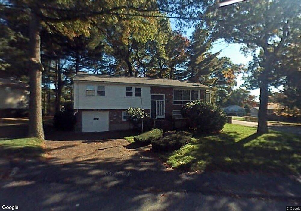
20 Imrie St Randolph, MA 02368
North Randolph NeighborhoodEstimated Value: $619,902 - $667,000
3
Beds
3
Baths
1,488
Sq Ft
$433/Sq Ft
Est. Value
About This Home
This home is located at 20 Imrie St, Randolph, MA 02368 and is currently estimated at $644,976, approximately $433 per square foot. 20 Imrie St is a home located in Norfolk County with nearby schools including Randolph High School.
Ownership History
Date
Name
Owned For
Owner Type
Purchase Details
Closed on
Oct 14, 2005
Sold by
Jackson Annie L and Jackson Willie F
Bought by
Nguyen Hoa T
Current Estimated Value
Home Financials for this Owner
Home Financials are based on the most recent Mortgage that was taken out on this home.
Original Mortgage
$304,000
Outstanding Balance
$162,920
Interest Rate
5.78%
Mortgage Type
Purchase Money Mortgage
Estimated Equity
$482,056
Purchase Details
Closed on
Jan 8, 1987
Sold by
Blotner Albert S
Bought by
Jackson Willie F
Create a Home Valuation Report for This Property
The Home Valuation Report is an in-depth analysis detailing your home's value as well as a comparison with similar homes in the area
Home Values in the Area
Average Home Value in this Area
Purchase History
| Date | Buyer | Sale Price | Title Company |
|---|---|---|---|
| Nguyen Hoa T | $380,000 | -- | |
| Jackson Willie F | $168,000 | -- |
Source: Public Records
Mortgage History
| Date | Status | Borrower | Loan Amount |
|---|---|---|---|
| Open | Nguyen Hoa T | $304,000 | |
| Previous Owner | Jackson Willie F | $204,000 | |
| Previous Owner | Jackson Willie F | $136,000 | |
| Previous Owner | Jackson Willie F | $28,000 | |
| Previous Owner | Jackson Willie F | $33,962 |
Source: Public Records
Tax History Compared to Growth
Tax History
| Year | Tax Paid | Tax Assessment Tax Assessment Total Assessment is a certain percentage of the fair market value that is determined by local assessors to be the total taxable value of land and additions on the property. | Land | Improvement |
|---|---|---|---|---|
| 2025 | $6,247 | $538,100 | $253,200 | $284,900 |
| 2024 | $6,120 | $534,500 | $248,400 | $286,100 |
| 2023 | $5,940 | $491,700 | $225,800 | $265,900 |
| 2022 | $5,709 | $419,800 | $188,100 | $231,700 |
| 2021 | $5,477 | $370,600 | $156,700 | $213,900 |
| 2020 | $5,335 | $357,800 | $156,700 | $201,100 |
| 2019 | $5,249 | $350,400 | $149,300 | $201,100 |
| 2018 | $5,109 | $321,700 | $135,700 | $186,000 |
| 2017 | $4,158 | $257,000 | $129,200 | $127,800 |
| 2016 | $4,059 | $233,400 | $117,600 | $115,800 |
| 2015 | $3,984 | $220,100 | $111,900 | $108,200 |
Source: Public Records
Map
Nearby Homes
- 232 Canton St Unit 104
- 232 Canton St Unit 205
- 232 Canton St Unit 112
- 1603 Irving Rd
- 1307 Irving Rd
- 10 Michael Rd
- 11 Glen Ln
- 3 Franklin Square Unit H
- 19 Cynthia Rd
- 14 Anderson Dr
- 317 Chestnut St
- 240 York St
- 39 Marion St
- 68 High St
- 8 Robert Rd Unit R
- Lot 0 York St
- 974 N Main St Unit 3
- 17 Hills St
- 2 Smith Rd
- 9 Royal Crest Dr Unit 12