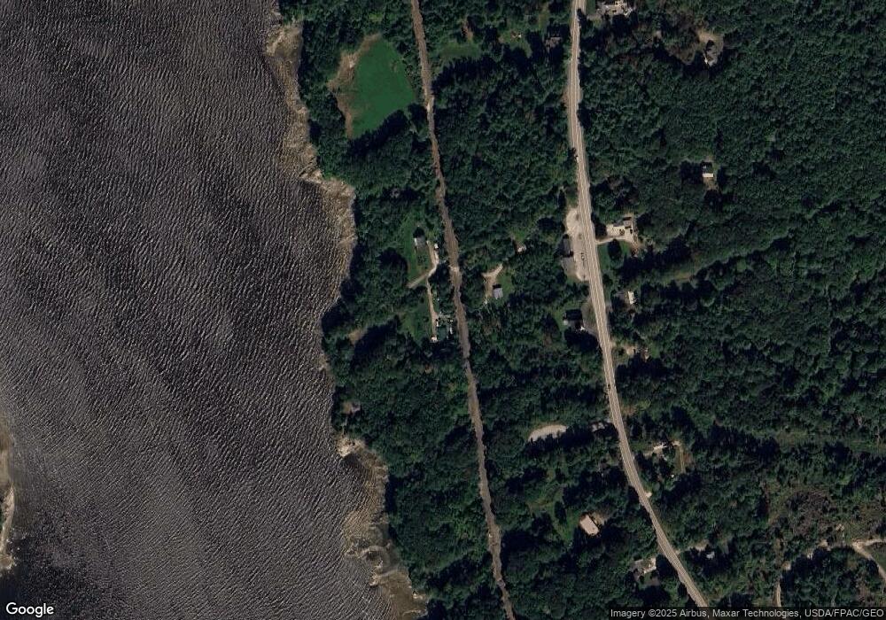
20 Jamieson Rd Orrington, ME 04474
Estimated Value: $278,849 - $350,000
--
Bed
--
Bath
--
Sq Ft
5.04
Acres
About This Home
This home is located at 20 Jamieson Rd, Orrington, ME 04474 and is currently estimated at $322,212. 20 Jamieson Rd is a home with nearby schools including Center Drive School.
Create a Home Valuation Report for This Property
The Home Valuation Report is an in-depth analysis detailing your home's value as well as a comparison with similar homes in the area
Home Values in the Area
Average Home Value in this Area
Tax History Compared to Growth
Tax History
| Year | Tax Paid | Tax Assessment Tax Assessment Total Assessment is a certain percentage of the fair market value that is determined by local assessors to be the total taxable value of land and additions on the property. | Land | Improvement |
|---|---|---|---|---|
| 2024 | $2,375 | $217,900 | $84,500 | $133,400 |
| 2023 | $2,255 | $205,000 | $78,600 | $126,400 |
| 2022 | $2,412 | $189,200 | $78,600 | $110,600 |
| 2021 | $2,610 | $174,000 | $78,600 | $95,400 |
| 2020 | $2,676 | $168,300 | $78,600 | $89,700 |
| 2019 | $2,596 | $163,300 | $78,600 | $84,700 |
| 2018 | $2,270 | $163,300 | $78,600 | $84,700 |
| 2017 | $2,273 | $163,500 | $78,600 | $84,900 |
| 2016 | $2,065 | $143,900 | $53,800 | $90,100 |
| 2015 | $2,065 | $143,900 | $53,800 | $90,100 |
| 2014 | $1,980 | $138,000 | $53,800 | $84,200 |
| 2013 | $1,856 | $138,000 | $53,800 | $84,200 |
Source: Public Records
Map
Nearby Homes
- 80 Settlers Way
- 38 Bartlett Cove Dr
- 40 Bartlett Cove Dr
- Lot 56 Old County Rd
- 1002 River Rd
- 15 Maine 15
- 00 River Rd
- 12 Moyse Rd
- 7 Moyse Rd
- 985 N North Main St
- 1183 River Rd
- 518 Betts Rd
- 1174 River Rd
- 101 Oak Hill Rd
- 24 Granite Ledge Ln
- 5 Vero's Way
- 420 Main Rd S
- 29 Foster Ave
- 486 Johnson Mill Rd
- 342 Main Rd S