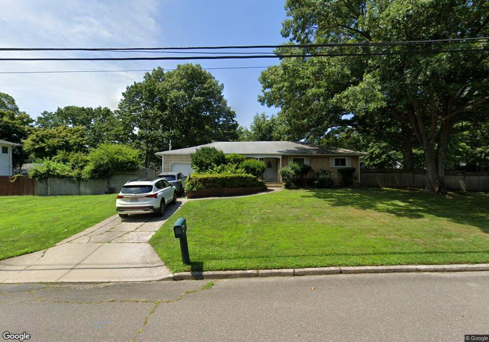
20 Jeanne Ave Port Jefferson Station, NY 11776
Estimated Value: $615,000 - $616,211
3
Beds
1
Bath
1,349
Sq Ft
$456/Sq Ft
Est. Value
About This Home
This home is located at 20 Jeanne Ave, Port Jefferson Station, NY 11776 and is currently estimated at $615,553, approximately $456 per square foot. 20 Jeanne Ave is a home located in Suffolk County with nearby schools including John F Kennedy Middle School and Comsewogue High School.
Ownership History
Date
Name
Owned For
Owner Type
Purchase Details
Closed on
Feb 22, 2001
Sold by
Cugell Edward T
Bought by
Genzer Peter and Genzer Sheri
Current Estimated Value
Home Financials for this Owner
Home Financials are based on the most recent Mortgage that was taken out on this home.
Original Mortgage
$186,000
Outstanding Balance
$66,784
Interest Rate
7%
Estimated Equity
$548,769
Purchase Details
Closed on
Mar 4, 1997
Sold by
Niedzialek Benjamin J and Niedzialek Rita T
Bought by
Niedzialek Rita T
Create a Home Valuation Report for This Property
The Home Valuation Report is an in-depth analysis detailing your home's value as well as a comparison with similar homes in the area
Home Values in the Area
Average Home Value in this Area
Purchase History
| Date | Buyer | Sale Price | Title Company |
|---|---|---|---|
| Genzer Peter | $206,000 | -- | |
| Niedzialek Rita T | -- | Chicago Title Insurance Co |
Source: Public Records
Mortgage History
| Date | Status | Borrower | Loan Amount |
|---|---|---|---|
| Open | Genzer Peter | $186,000 |
Source: Public Records
Tax History Compared to Growth
Tax History
| Year | Tax Paid | Tax Assessment Tax Assessment Total Assessment is a certain percentage of the fair market value that is determined by local assessors to be the total taxable value of land and additions on the property. | Land | Improvement |
|---|---|---|---|---|
| 2024 | $13,282 | $3,125 | $325 | $2,800 |
| 2023 | $13,282 | $3,125 | $325 | $2,800 |
| 2022 | $10,824 | $3,125 | $325 | $2,800 |
| 2021 | $10,824 | $3,125 | $325 | $2,800 |
| 2020 | $12,214 | $3,125 | $325 | $2,800 |
| 2019 | $12,214 | $0 | $0 | $0 |
| 2018 | $10,563 | $3,125 | $325 | $2,800 |
| 2017 | $10,563 | $3,125 | $325 | $2,800 |
| 2016 | $10,473 | $3,125 | $325 | $2,800 |
| 2015 | -- | $3,125 | $325 | $2,800 |
| 2014 | -- | $3,125 | $325 | $2,800 |
Source: Public Records
Map
Nearby Homes
- 22 Washington Ave
- 16 Maryanne Ave
- 26 Forest Ave
- 17 Katherine St
- 24 Kennedy Rd
- 4 Forest Ave
- 172 Norwood Ave
- 203 Sterling St
- 236 Woodhull Ave
- 30 Bunny Ln
- 171 Minrol St
- 4 Linda St
- 105 Commodore Cir
- 106 Montrose Dr
- 26 Weldon Ln
- 0 Samantha Ln Unit KEY885499
- 45 Gaymore Rd
- 35 Woodchuck Ln
- 148 Captains Way
- 37 Deer Ln