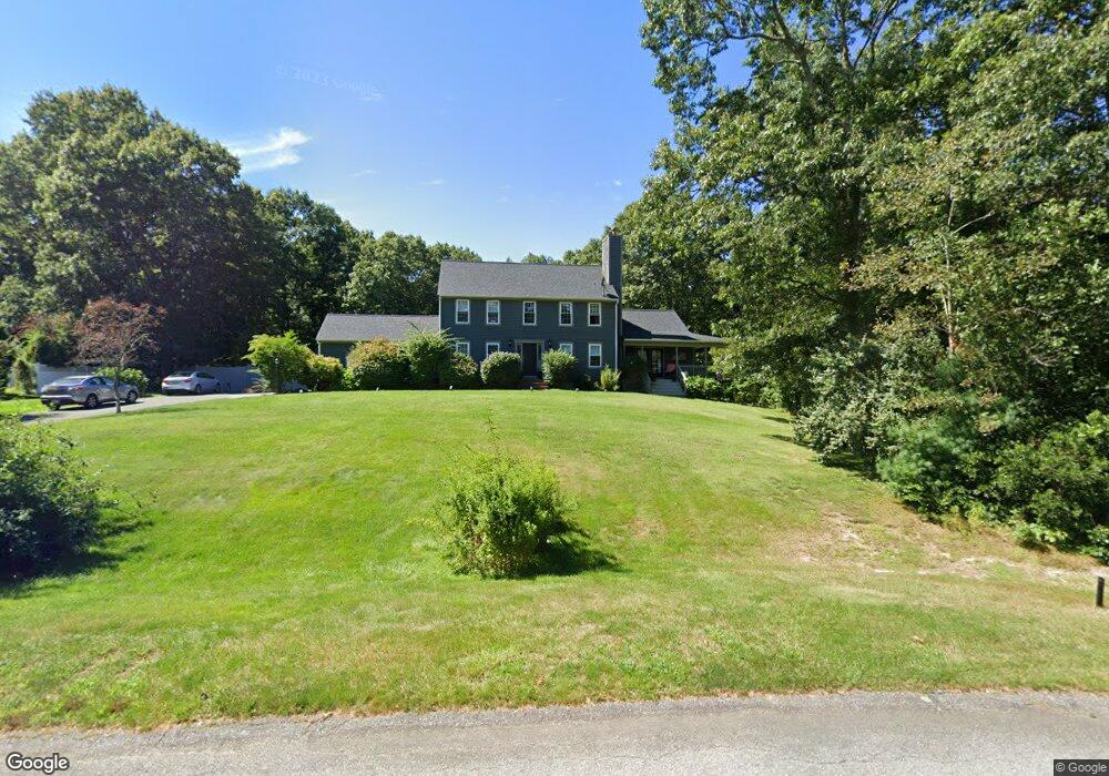
20 Jillian Way Westport, MA 02790
Brownell/Giffords Corner NeighborhoodEstimated Value: $721,000 - $852,000
4
Beds
--
Bath
2,745
Sq Ft
$290/Sq Ft
Est. Value
About This Home
This home is located at 20 Jillian Way, Westport, MA 02790 and is currently estimated at $796,642, approximately $290 per square foot. 20 Jillian Way is a home located in Bristol County with nearby schools including Alice A. Macomber Primary School, Westport Elementary School, and Westport Middle-High School.
Ownership History
Date
Name
Owned For
Owner Type
Purchase Details
Closed on
Jul 18, 1997
Sold by
Long Realty Inc
Bought by
Patterson Garth P and Patterson Natalie
Current Estimated Value
Create a Home Valuation Report for This Property
The Home Valuation Report is an in-depth analysis detailing your home's value as well as a comparison with similar homes in the area
Home Values in the Area
Average Home Value in this Area
Purchase History
| Date | Buyer | Sale Price | Title Company |
|---|---|---|---|
| Patterson Garth P | $49,900 | -- |
Source: Public Records
Mortgage History
| Date | Status | Borrower | Loan Amount |
|---|---|---|---|
| Open | Patterson Garth P | $265,000 | |
| Closed | Patterson Garth P | $258,000 | |
| Closed | Patterson Garth P | $230,000 |
Source: Public Records
Tax History Compared to Growth
Tax History
| Year | Tax Paid | Tax Assessment Tax Assessment Total Assessment is a certain percentage of the fair market value that is determined by local assessors to be the total taxable value of land and additions on the property. | Land | Improvement |
|---|---|---|---|---|
| 2025 | $4,976 | $667,900 | $195,100 | $472,800 |
| 2024 | $4,971 | $643,100 | $180,800 | $462,300 |
| 2023 | $4,864 | $596,100 | $158,400 | $437,700 |
| 2022 | $4,587 | $546,500 | $158,400 | $388,100 |
| 2021 | $4,587 | $532,100 | $144,000 | $388,100 |
| 2020 | $3,810 | $451,900 | $138,300 | $313,600 |
| 2019 | $3,492 | $422,300 | $126,300 | $296,000 |
| 2018 | $3,451 | $422,400 | $125,300 | $297,100 |
| 2017 | $3,421 | $429,200 | $125,300 | $303,900 |
| 2016 | $3,138 | $396,700 | $125,300 | $271,400 |
| 2015 | $3,021 | $380,900 | $125,300 | $255,600 |
Source: Public Records
Map
Nearby Homes
- 6 Angel Ct
- 218 American Legion Hwy
- 118 Charlotte White Rd
- 978 Sodom Rd
- 308 Robert St
- 47 Robert St
- 40 Robert St
- 33 Moniz Dr
- 47 Devol Ave
- 771 Sanford Rd
- 4 Main Rd
- 8 Strawberry Ln
- 51 Newton St
- Lot 0 Marcotte
- 118 Charlotte White Rd Extension
- 0 Hidden Glen Ln
- 374 Crandall Rd
- 8 Campion Ave
- 0 Tickle Rd Unit 73453134
- 219 Tickle Rd