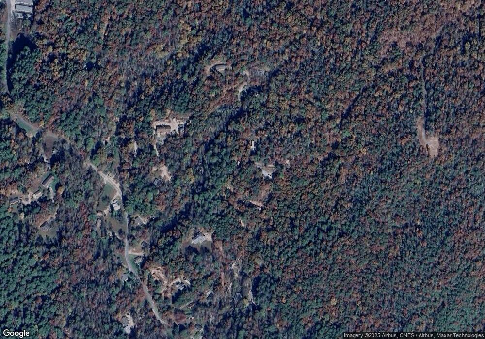
20 Jon Rd Pisgah Forest, NC 28768
Estimated Value: $315,000 - $432,000
2
Beds
1
Bath
1,276
Sq Ft
$285/Sq Ft
Est. Value
About This Home
This home is located at 20 Jon Rd, Pisgah Forest, NC 28768 and is currently estimated at $363,044, approximately $284 per square foot. 20 Jon Rd is a home with nearby schools including Bethany Christian School.
Ownership History
Date
Name
Owned For
Owner Type
Purchase Details
Closed on
Mar 11, 2025
Sold by
Ridge-Warner Holly and Warner Jeffrey Scott
Bought by
Ridge-Warner Holly and Warner Jeffrey Scott
Current Estimated Value
Purchase Details
Closed on
Sep 2, 2020
Sold by
Ridge Holly L and Ridge Warner Holly
Bought by
Jeffrey And Holly Warner Living Trust
Purchase Details
Closed on
Jan 11, 2013
Sold by
Hogsed Mamie
Bought by
Loosli Edward S and Freeman Darriene E
Home Financials for this Owner
Home Financials are based on the most recent Mortgage that was taken out on this home.
Original Mortgage
$91,800
Interest Rate
3.36%
Mortgage Type
New Conventional
Create a Home Valuation Report for This Property
The Home Valuation Report is an in-depth analysis detailing your home's value as well as a comparison with similar homes in the area
Home Values in the Area
Average Home Value in this Area
Purchase History
| Date | Buyer | Sale Price | Title Company |
|---|---|---|---|
| Ridge-Warner Holly | -- | None Listed On Document | |
| Ridge-Warner Holly | -- | None Listed On Document | |
| Jeffrey And Holly Warner Living Trust | -- | None Available | |
| Loosli Edward S | $102,000 | None Available |
Source: Public Records
Mortgage History
| Date | Status | Borrower | Loan Amount |
|---|---|---|---|
| Previous Owner | Loosli Edward S | $91,800 |
Source: Public Records
Tax History Compared to Growth
Tax History
| Year | Tax Paid | Tax Assessment Tax Assessment Total Assessment is a certain percentage of the fair market value that is determined by local assessors to be the total taxable value of land and additions on the property. | Land | Improvement |
|---|---|---|---|---|
| 2025 | $1,881 | $391,370 | $56,780 | $334,590 |
| 2024 | $1,207 | $183,390 | $56,780 | $126,610 |
| 2023 | $1,207 | $183,390 | $56,780 | $126,610 |
| 2022 | $1,207 | $183,390 | $56,780 | $126,610 |
| 2021 | $1,198 | $183,390 | $56,780 | $126,610 |
| 2020 | $1,149 | $165,120 | $0 | $0 |
| 2019 | $1,141 | $165,120 | $0 | $0 |
| 2018 | $935 | $165,120 | $0 | $0 |
| 2017 | $935 | $165,120 | $0 | $0 |
| 2016 | $884 | $165,120 | $0 | $0 |
| 2015 | -- | $127,070 | $56,780 | $70,290 |
| 2014 | -- | $127,070 | $56,780 | $70,290 |
Source: Public Records
Map
Nearby Homes
- 658 Johnson Rd
- 1881 Becky Mountain Rd
- 99999 Small Creek Rd Unit 4
- 141 Danny Ln
- 151 Unoga Ct
- 514 Eagle Lake Dr
- 130 Greenfield Cir
- 30 Banks Ln
- 132 Connestee Rd
- 3903 Island Ford Rd
- 100 Ashton Ln
- 40 Lochencove Ridge Rd
- 150 Deerwoode Ln
- 266 Lost Mine Trail Unit L602
- 28 Big Rock Rd
- 14 Long Branch Rd Unit 14
- 63 Blue Heron Trail
- 1196 N Country Club Rd
- 421 Chickadee Ln
- Lot 12 Rockbrook Overlook
- 100 Johnson Rd
- 2974 Greenville Hwy
- 310 Johnson Rd
- 58 Monte Vista Dr
- 356 Johnson Rd
- 296 Monte Vista Dr
- 170 Johnson Rd
- 400 Johnson Rd
- 2611 Greenville Hwy
- 399 Johnson Rd
- 11 Still Hill Trail
- 2555 Greenville Hwy
- 2361 Greenville Hwy
- 71 Still Hill Trail
- 31 Still Hill Trail
- 1411 Barclay Rd
- 1409 Barclay Rd
- 123 Cheek Rd
- 193 Barclay Farm Rd
- 193 Barclay Farm Rd
