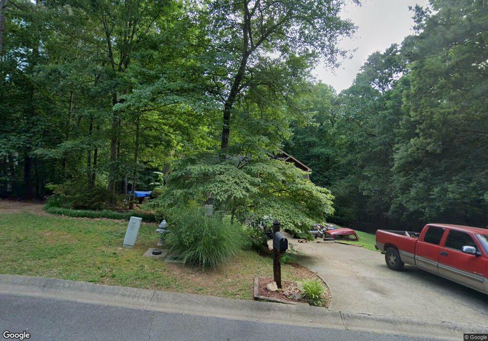
20 Kathy Ct Canton, GA 30114
Estimated Value: $416,000 - $507,000
3
Beds
2
Baths
2,547
Sq Ft
$177/Sq Ft
Est. Value
About This Home
This home is located at 20 Kathy Ct, Canton, GA 30114 and is currently estimated at $450,750, approximately $176 per square foot. 20 Kathy Ct is a home located in Cherokee County with nearby schools including Sixes Elementary School, Freedom Middle School, and Woodstock High School.
Ownership History
Date
Name
Owned For
Owner Type
Purchase Details
Closed on
Jun 1, 1999
Sold by
Temple Inland Mtg Corp
Bought by
Secretary Of Housing & Urban Dev
Current Estimated Value
Purchase Details
Closed on
Jan 27, 1994
Sold by
Roach Robt
Bought by
Semon Michael A
Home Financials for this Owner
Home Financials are based on the most recent Mortgage that was taken out on this home.
Original Mortgage
$106,206
Interest Rate
7.1%
Create a Home Valuation Report for This Property
The Home Valuation Report is an in-depth analysis detailing your home's value as well as a comparison with similar homes in the area
Home Values in the Area
Average Home Value in this Area
Purchase History
| Date | Buyer | Sale Price | Title Company |
|---|---|---|---|
| Secretary Of Housing & Urban Dev | -- | -- | |
| Temple Inland Mtg Corp | $106,206 | -- | |
| Semon Michael A | $108,000 | -- |
Source: Public Records
Mortgage History
| Date | Status | Borrower | Loan Amount |
|---|---|---|---|
| Previous Owner | Semon Michael A | $106,206 |
Source: Public Records
Tax History
| Year | Tax Paid | Tax Assessment Tax Assessment Total Assessment is a certain percentage of the fair market value that is determined by local assessors to be the total taxable value of land and additions on the property. | Land | Improvement |
|---|---|---|---|---|
| 2025 | $1,079 | $180,100 | $24,000 | $156,100 |
| 2024 | $1,042 | $166,784 | $24,000 | $142,784 |
| 2023 | $921 | $172,792 | $24,000 | $148,792 |
| 2022 | $975 | $132,796 | $24,000 | $108,796 |
| 2021 | $3,164 | $111,444 | $17,600 | $93,844 |
| 2020 | $2,877 | $101,252 | $17,600 | $83,652 |
| 2019 | $2,645 | $93,080 | $16,800 | $76,280 |
| 2018 | $2,547 | $89,080 | $15,200 | $73,880 |
| 2017 | $2,287 | $198,400 | $14,000 | $65,360 |
| 2016 | $2,135 | $183,300 | $14,000 | $59,320 |
| 2015 | $2,037 | $173,200 | $14,000 | $55,280 |
| 2014 | $1,853 | $157,300 | $14,000 | $48,920 |
Source: Public Records
Map
Nearby Homes
- 1302 Sixes Rd
- 3161 Marble Quarry Rd
- 346 Wells Cir
- 1415 Sixes Rd
- 364 Hillgrove Dr
- 151 Wentworth Dr
- 810 Lake Ridge Ct
- 1600 Sixes Rd
- 415 Crestmont Ln
- 206 Sawtooth Ct
- 208 Sawtooth Ct
- 376 Whitetail Cir
- 2295 Ansley Ct
- 484 Crestmont Ln
- 121 Northlake Trail Unit 4A
- 1620 Palm St
- 643 N Rope Mill Rd Unit 634
- 643 N Rope Mill Rd
- 1414 Palm St
- 439 Sweetgum Dr
- 40 Kathy Ct
- 30 Kathy Ct
- 10 Kathy Ct
- 4240 Sherry Ln
- 35 Kathy Ct
- 4180 Sherry Ln
- 4270 Sherry Ln
- 4215 Sherry Ln
- 4160 Sherry Ln
- 4235 Sherry Ln
- 4195 Sherry Ln
- 55 Kathy Ct
- 50 Kathy Ct
- 4251 Sherry Ln
- 4301 Sherry Ln
- 4175 Sherry Ln
- 2991 Mountain Brook Rd Unit 1
- 4271 Sherry Ln
- 3000 Mountain Brook Rd
- 4295 Sherry Ln