20 Kay Ln Unit G Waterbury, CT 06708
Bunker Hill NeighborhoodEstimated Value: $155,000 - $177,000
2
Beds
2
Baths
1,000
Sq Ft
$168/Sq Ft
Est. Value
About This Home
This home is located at 20 Kay Ln Unit G, Waterbury, CT 06708 and is currently estimated at $167,909, approximately $167 per square foot. 20 Kay Ln Unit G is a home located in New Haven County with nearby schools including Carrington Elementary School and Wilby High School.
Ownership History
Date
Name
Owned For
Owner Type
Purchase Details
Closed on
May 4, 2009
Sold by
Dijoseph Associates Ll
Bought by
Martinez Angel
Current Estimated Value
Purchase Details
Closed on
Feb 26, 2009
Sold by
Us Bank Na
Bought by
Dijoseph Associates Ll
Purchase Details
Closed on
Oct 3, 2005
Sold by
Crain Janet E
Bought by
Marshall Aaron J
Home Financials for this Owner
Home Financials are based on the most recent Mortgage that was taken out on this home.
Original Mortgage
$74,765
Interest Rate
5.84%
Create a Home Valuation Report for This Property
The Home Valuation Report is an in-depth analysis detailing your home's value as well as a comparison with similar homes in the area
Home Values in the Area
Average Home Value in this Area
Purchase History
| Date | Buyer | Sale Price | Title Company |
|---|---|---|---|
| Martinez Angel | $20,000 | -- | |
| Dijoseph Associates Ll | $34,000 | -- | |
| Marshall Aaron J | $78,700 | -- |
Source: Public Records
Mortgage History
| Date | Status | Borrower | Loan Amount |
|---|---|---|---|
| Previous Owner | Marshall Aaron J | $74,765 |
Source: Public Records
Tax History Compared to Growth
Tax History
| Year | Tax Paid | Tax Assessment Tax Assessment Total Assessment is a certain percentage of the fair market value that is determined by local assessors to be the total taxable value of land and additions on the property. | Land | Improvement |
|---|---|---|---|---|
| 2025 | $2,900 | $64,470 | $0 | $64,470 |
| 2024 | $3,187 | $64,470 | $0 | $64,470 |
| 2023 | $3,494 | $64,470 | $0 | $64,470 |
| 2022 | $1,737 | $28,850 | $0 | $28,850 |
| 2021 | $1,737 | $28,850 | $0 | $28,850 |
| 2020 | $1,737 | $28,850 | $0 | $28,850 |
| 2019 | $1,737 | $28,850 | $0 | $28,850 |
| 2018 | $1,737 | $28,850 | $0 | $28,850 |
| 2017 | $1,735 | $28,820 | $0 | $28,820 |
| 2016 | $1,735 | $28,820 | $0 | $28,820 |
| 2015 | $1,678 | $28,820 | $0 | $28,820 |
| 2014 | $1,678 | $28,820 | $0 | $28,820 |
Source: Public Records
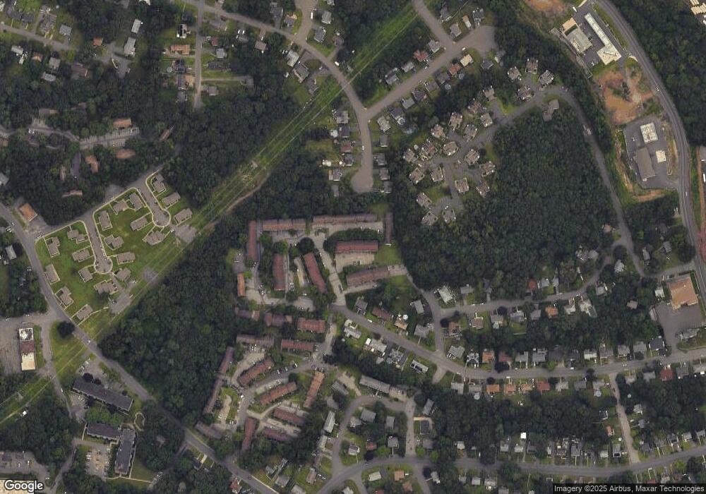
Map
Nearby Homes
- 192 Kaynor Dr Unit K
- 189 Kaynor Dr Unit H
- 189 Kaynor Dr Unit C
- 203 Kaynor Dr Unit B
- 100 Mildred Ave
- 49 Midvale Ave
- 218 Oakville Ave Unit C
- 87 Kaynor Dr
- 101 Madeline Ave Unit 19
- 248 Oakville Ave Unit E
- 282 Oakville Ave
- 284 Newridge Ave
- 39 Glendale Dr
- 98 Angel Dr
- 107 Angel Dr Unit B
- 114 Clematis Ave
- 1161 Watertown Ave
- 167 Bamford Ave
- 640 Bunker Hill Ave
- 00 Bunker Hill Ave
- 20 Kay Ln Unit L
- 20 Kay Ln Unit K
- 20 Kay Ln Unit J
- 20 Kay Ln Unit I
- 20 Kay Ln Unit H
- 20 Kay Ln Unit F
- 20 Kay Ln Unit E
- 20 Kay Ln Unit D
- 20 Kay Ln Unit C
- 20 Kay Ln Unit B
- 20 Kay Ln Unit A
- 20 Kay Ln Unit 20E
- 20 Kay Ln Unit 20J
- 30 Kay Ln Unit L
- 30 Kay Ln Unit K
- 30 Kay Ln Unit J
- 30 Kay Ln Unit I
- 30 Kay Ln Unit H
- 30 Kay Ln Unit G
- 30 Kay Ln Unit F