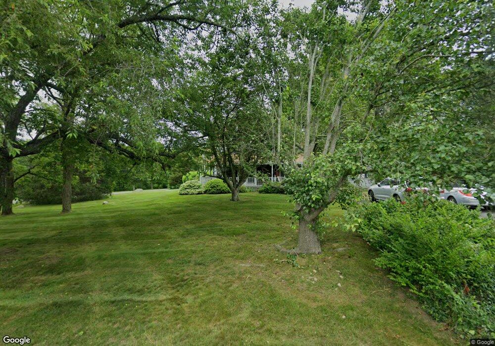
20 Keene St Buzzards Bay, MA 02532
Estimated Value: $760,210 - $979,000
3
Beds
2
Baths
1,801
Sq Ft
$455/Sq Ft
Est. Value
About This Home
This home is located at 20 Keene St, Buzzards Bay, MA 02532 and is currently estimated at $819,053, approximately $454 per square foot. 20 Keene St is a home located in Barnstable County with nearby schools including Bourne High School, St Margaret Regional School, and Cadence Academy Preschool - Bourne.
Ownership History
Date
Name
Owned For
Owner Type
Purchase Details
Closed on
Jun 30, 2023
Sold by
Mitchell Thomas S and Mitchell Rita T
Bought by
Mitchell Nt and Mitchell
Current Estimated Value
Purchase Details
Closed on
Oct 2, 1997
Sold by
Scarbrough William R
Bought by
Mitchell Thomas S and Mitchell Rita T
Home Financials for this Owner
Home Financials are based on the most recent Mortgage that was taken out on this home.
Original Mortgage
$187,500
Interest Rate
7.41%
Mortgage Type
Purchase Money Mortgage
Create a Home Valuation Report for This Property
The Home Valuation Report is an in-depth analysis detailing your home's value as well as a comparison with similar homes in the area
Home Values in the Area
Average Home Value in this Area
Purchase History
| Date | Buyer | Sale Price | Title Company |
|---|---|---|---|
| Mitchell Nt | -- | None Available | |
| Mitchell Nt | -- | None Available | |
| Mitchell Thomas S | $250,000 | -- | |
| Mitchell Thomas S | $250,000 | -- |
Source: Public Records
Mortgage History
| Date | Status | Borrower | Loan Amount |
|---|---|---|---|
| Previous Owner | Mitchell Thomas S | $179,000 | |
| Previous Owner | Mitchell Thomas S | $29,800 | |
| Previous Owner | Mitchell Thomas S | $187,500 |
Source: Public Records
Tax History Compared to Growth
Tax History
| Year | Tax Paid | Tax Assessment Tax Assessment Total Assessment is a certain percentage of the fair market value that is determined by local assessors to be the total taxable value of land and additions on the property. | Land | Improvement |
|---|---|---|---|---|
| 2025 | $5,423 | $694,400 | $242,000 | $452,400 |
| 2024 | $5,288 | $659,400 | $230,500 | $428,900 |
| 2023 | $5,141 | $583,500 | $204,000 | $379,500 |
| 2022 | $4,981 | $493,700 | $180,500 | $313,200 |
| 2021 | $4,840 | $449,400 | $164,300 | $285,100 |
| 2020 | $4,788 | $445,800 | $162,700 | $283,100 |
| 2019 | $4,518 | $429,900 | $162,700 | $267,200 |
| 2018 | $4,316 | $409,500 | $155,000 | $254,500 |
| 2017 | $3,903 | $378,900 | $153,500 | $225,400 |
| 2016 | $3,806 | $374,600 | $153,500 | $221,100 |
| 2015 | $3,772 | $374,600 | $153,500 | $221,100 |
Source: Public Records
Map
Nearby Homes
- 60 Sandwich Rd
- 44 Cotuit Rd
- 90-92 Sandwich Rd Unit 2
- 38 Old Bridge Rd
- 90-92 Sandwich Rd Unit 9C
- 14 Great Rock Rd
- 304 Main St
- 46 Holt Rd
- 46 Holt Rd Unit A
- 85 Waterhouse Rd
- 85 Waterhouse Rd
- 151 - 153 Main St
- 13 Laurel Hill Ct
- 5 Sea Knoll Ct
- 405 Village Dr
- 405 Village Dr Unit 405
- 17 Maple St
- 26 Carnoustie Rd
- 1 Hollyhock Knoll Ct Unit 1
- 4 Hollyhock Knoll Ct Unit 4