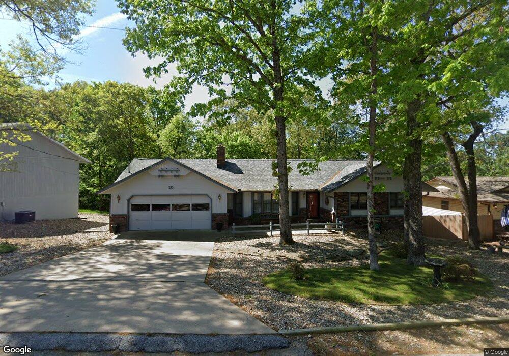
20 Kensington Dr Bella Vista, AR 72715
Estimated Value: $311,000 - $415,000
2
Beds
2
Baths
1,660
Sq Ft
$206/Sq Ft
Est. Value
About This Home
This home is located at 20 Kensington Dr, Bella Vista, AR 72715 and is currently estimated at $342,496, approximately $206 per square foot. 20 Kensington Dr is a home located in Benton County with nearby schools including Thomas Jefferson Elementary School, Lincoln Junior High School, and Old High Middle School.
Ownership History
Date
Name
Owned For
Owner Type
Purchase Details
Closed on
Feb 15, 2005
Sold by
Turquoise Group Inc
Bought by
Duncan Leslie and Duncan Tim
Current Estimated Value
Purchase Details
Closed on
May 3, 1994
Bought by
Skeahan
Purchase Details
Closed on
Mar 8, 1993
Bought by
Drybread Tr
Purchase Details
Closed on
Jun 1, 1984
Bought by
Drybread
Purchase Details
Closed on
Jan 19, 1984
Bought by
Fredericks
Create a Home Valuation Report for This Property
The Home Valuation Report is an in-depth analysis detailing your home's value as well as a comparison with similar homes in the area
Home Values in the Area
Average Home Value in this Area
Purchase History
| Date | Buyer | Sale Price | Title Company |
|---|---|---|---|
| Duncan Leslie | $385,000 | None Available | |
| Skeahan | $88,000 | -- | |
| Drybread Tr | -- | -- | |
| Drybread | -- | -- | |
| Fredericks | -- | -- |
Source: Public Records
Tax History Compared to Growth
Tax History
| Year | Tax Paid | Tax Assessment Tax Assessment Total Assessment is a certain percentage of the fair market value that is determined by local assessors to be the total taxable value of land and additions on the property. | Land | Improvement |
|---|---|---|---|---|
| 2025 | $1,208 | $56,683 | $1,600 | $55,083 |
| 2024 | $1,196 | $56,683 | $1,600 | $55,083 |
| 2023 | $1,196 | $36,910 | $800 | $36,110 |
| 2022 | $859 | $36,910 | $800 | $36,110 |
| 2021 | $857 | $36,910 | $800 | $36,110 |
| 2020 | $868 | $25,080 | $600 | $24,480 |
| 2019 | $868 | $25,080 | $600 | $24,480 |
| 2018 | $893 | $25,080 | $600 | $24,480 |
| 2017 | $846 | $25,080 | $600 | $24,480 |
| 2016 | $846 | $25,080 | $600 | $24,480 |
| 2015 | $1,176 | $22,960 | $1,000 | $21,960 |
| 2014 | $826 | $22,960 | $1,000 | $21,960 |
Source: Public Records
Map
Nearby Homes
- 13 Kensington Dr
- Lot 26 Block 2 Kensington Dr
- 30 Kensington Dr
- 22 Pembroke Ln
- TBD Dunsford Dr
- Lot 23 of Block 1 Dunsford Dr
- 6 & 8 Gail Ln
- 14 Gretchen Ln
- 9 Estes Dr
- 7 Joanie Ln
- 4 Frensham Ln
- 55 Portsmouth Dr
- 9 Connie Ln
- 6 Connie Ln
- 3 Lance Ln
- 21 Estes Dr
- 5 Matlock Cir
- 19 Brompton Dr
- 18 Worstead Ln
- 27 Basildon Dr
- 18 Kensington Dr
- 22 Kensington Dr
- 2 Kensington Dr
- 14 Kensington Dr
- 24 Kensington Dr
- 21 Kensington Dr
- 2 Kensington Ln
- 4 Martham Ln
- 1910 Kensington Ln
- 3 Kensington Ln
- 3904 Kensington Ln
- 23 Kensington Dr
- 17 Kensington Dr
- 2 Martham Ln
- 4 Kensington Ln
- 902 Kensington Dr
- 2889 Kensington Dr
- - Kensington Dr
- ------ Kensington Dr
- 4 Leverton Ln