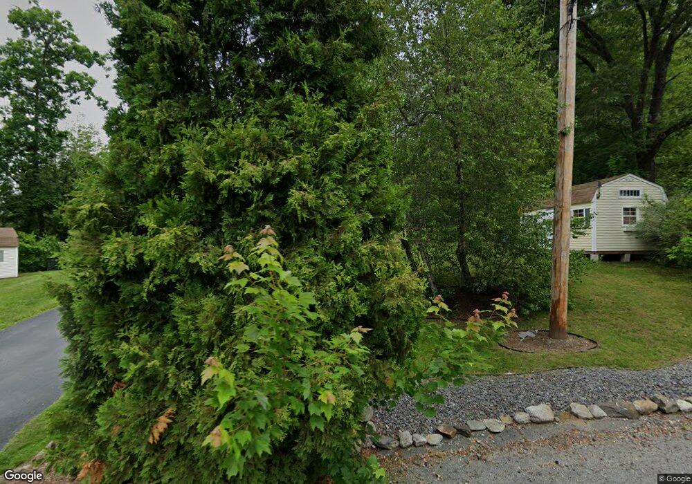
20 Kim Kris Ln Dracut, MA 01826
Estimated Value: $596,000 - $693,000
3
Beds
2
Baths
1,632
Sq Ft
$394/Sq Ft
Est. Value
About This Home
This home is located at 20 Kim Kris Ln, Dracut, MA 01826 and is currently estimated at $642,615, approximately $393 per square foot. 20 Kim Kris Ln is a home located in Middlesex County with nearby schools including George H. Englesby Elementary School, Richardson Middle School, and Dracut Senior High School.
Ownership History
Date
Name
Owned For
Owner Type
Purchase Details
Closed on
Feb 1, 2005
Sold by
Savard Linda C and Savard Richard P
Bought by
Middlemiss Katherine H and Middlemiss Scott B
Current Estimated Value
Home Financials for this Owner
Home Financials are based on the most recent Mortgage that was taken out on this home.
Original Mortgage
$284,000
Outstanding Balance
$143,592
Interest Rate
5.67%
Mortgage Type
Purchase Money Mortgage
Estimated Equity
$499,023
Purchase Details
Closed on
May 9, 1991
Sold by
Savard Richard P
Bought by
Savard Richard P
Create a Home Valuation Report for This Property
The Home Valuation Report is an in-depth analysis detailing your home's value as well as a comparison with similar homes in the area
Home Values in the Area
Average Home Value in this Area
Purchase History
| Date | Buyer | Sale Price | Title Company |
|---|---|---|---|
| Middlemiss Katherine H | $355,000 | -- | |
| Savard Richard P | $10,000 | -- |
Source: Public Records
Mortgage History
| Date | Status | Borrower | Loan Amount |
|---|---|---|---|
| Open | Middlemiss Katherine H | $284,000 | |
| Previous Owner | Savard Richard P | $133,400 | |
| Previous Owner | Savard Richard P | $137,900 | |
| Previous Owner | Savard Richard P | $25,000 | |
| Previous Owner | Savard Richard P | $21,300 |
Source: Public Records
Tax History Compared to Growth
Tax History
| Year | Tax Paid | Tax Assessment Tax Assessment Total Assessment is a certain percentage of the fair market value that is determined by local assessors to be the total taxable value of land and additions on the property. | Land | Improvement |
|---|---|---|---|---|
| 2025 | $5,421 | $535,700 | $230,100 | $305,600 |
| 2024 | $5,219 | $499,400 | $219,300 | $280,100 |
| 2023 | $5,069 | $437,700 | $190,800 | $246,900 |
| 2022 | $4,930 | $401,100 | $173,500 | $227,600 |
| 2021 | $5,415 | $366,300 | $157,500 | $208,800 |
| 2020 | $8,328 | $347,100 | $152,800 | $194,300 |
| 2019 | $4,414 | $321,000 | $145,500 | $175,500 |
| 2018 | $5,058 | $322,500 | $145,500 | $177,000 |
| 2017 | $4,543 | $322,500 | $145,500 | $177,000 |
| 2016 | $4,430 | $298,500 | $139,800 | $158,700 |
| 2015 | $4,297 | $287,800 | $139,800 | $148,000 |
| 2014 | $4,038 | $278,700 | $139,800 | $138,900 |
Source: Public Records
Map
Nearby Homes
- 50 Stephen Ave
- 999 Hildreth St
- 35 Camilla Ave
- 83 Turgeon Ave
- 53 Vinal St
- 190 Old Rd
- 1905 Lakeview Ave
- 9 Cornstalk Ln
- 174 Old Rd
- 20 Esther Way Unit 11
- 10 Edwards St
- 19 Esther Way Unit Lot 10
- 157 Old Rd
- 17 Spare St
- 74 Tennis Plaza Rd Unit 34
- 26 Frank St
- 29 Mill St Unit B
- 84 Tennis Plaza Rd Unit 64
- 321 Old Marsh Hill Rd
- 94 Tennis Plaza Rd Unit 10