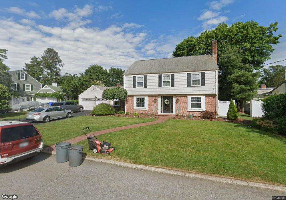
20 King Philip Rd Pawtucket, RI 02861
Darlington NeighborhoodEstimated Value: $590,580 - $673,000
3
Beds
3
Baths
2,075
Sq Ft
$305/Sq Ft
Est. Value
About This Home
This home is located at 20 King Philip Rd, Pawtucket, RI 02861 and is currently estimated at $633,895, approximately $305 per square foot. 20 King Philip Rd is a home located in Providence County with nearby schools including St Cecilia School and Saint Teresa Catholic Elementary School.
Ownership History
Date
Name
Owned For
Owner Type
Purchase Details
Closed on
Oct 8, 2020
Sold by
Mary L Marini T
Bought by
Mary L Marini T
Current Estimated Value
Purchase Details
Closed on
Aug 13, 2019
Sold by
Marini Mary and Marini Gaetano
Bought by
Mary L Marini T
Create a Home Valuation Report for This Property
The Home Valuation Report is an in-depth analysis detailing your home's value as well as a comparison with similar homes in the area
Home Values in the Area
Average Home Value in this Area
Purchase History
| Date | Buyer | Sale Price | Title Company |
|---|---|---|---|
| Mary L Marini T | -- | None Available | |
| Mary L Marini T | -- | -- |
Source: Public Records
Tax History
| Year | Tax Paid | Tax Assessment Tax Assessment Total Assessment is a certain percentage of the fair market value that is determined by local assessors to be the total taxable value of land and additions on the property. | Land | Improvement |
|---|---|---|---|---|
| 2025 | $6,015 | $457,400 | $154,900 | $302,500 |
| 2024 | $5,644 | $457,400 | $154,900 | $302,500 |
| 2023 | $6,942 | $409,800 | $118,400 | $291,400 |
| 2022 | $6,794 | $409,800 | $118,400 | $291,400 |
| 2021 | $6,794 | $409,800 | $118,400 | $291,400 |
| 2020 | $6,814 | $326,200 | $111,000 | $215,200 |
| 2019 | $6,814 | $326,200 | $111,000 | $215,200 |
| 2018 | $6,566 | $326,200 | $111,000 | $215,200 |
| 2017 | $7,807 | $343,600 | $105,700 | $237,900 |
| 2016 | $7,521 | $343,600 | $105,700 | $237,900 |
| 2015 | $7,521 | $343,600 | $105,700 | $237,900 |
| 2014 | $7,414 | $321,500 | $92,500 | $229,000 |
Source: Public Records
Map
Nearby Homes
- 1150 Newman Ave
- 64 Brookdale Blvd
- 245 Manton St
- 242 Manton St
- 242 Manton #41 St
- 619 Armistice Blvd
- 91 Seabiscuit Place
- 128 Warwick Rd
- 70 Whittier Rd
- 57 Whirlaway Place
- 43 Warwick Rd
- 66 1st St
- 40 Camac St
- 400 Newport Ave
- 127 Ricard St
- 66 State St
- 3 Hutchinson Ave
- 99 Roosevelt St
- 105 Metropolitan Park Ave
- 38 Lowell Ave
- 30 King Philip Rd
- 12 King Philip Rd
- 21 Anawan Rd
- 27 Anawan Rd
- 11 Anawan Rd
- 19 King Philip Rd
- 33 King Philip Rd
- 11 King Philip Rd
- 929 Armistice Blvd
- 36 King Philip Rd
- 5 Anawan Rd
- 35 Anawan Rd
- 925 Armistice Blvd
- 24 Anawan Rd
- 18 Anawan Rd
- 35 King Philip Rd
- 28 Alexander Mcgregor Rd
- 36 Anawan Rd
- 24 Alexander Mcgregor Rd
- 915 Armistice Blvd
Your Personal Tour Guide
Ask me questions while you tour the home.