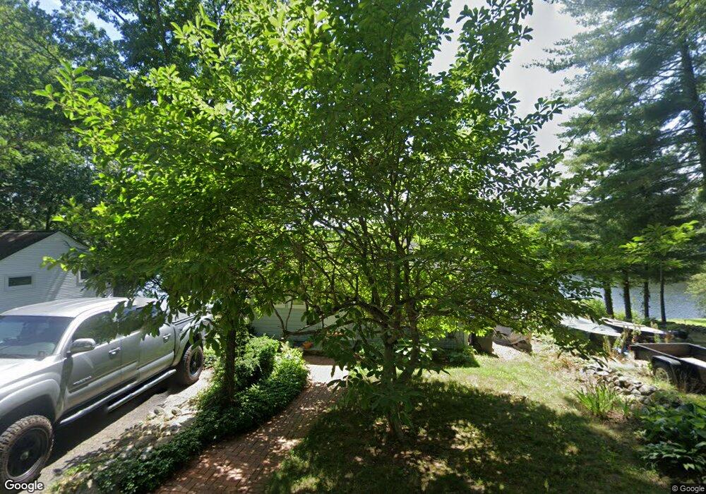
20 Lake Shore Dr Harwinton, CT 06791
Estimated Value: $205,000 - $328,000
1
Bed
1
Bath
524
Sq Ft
$486/Sq Ft
Est. Value
About This Home
This home is located at 20 Lake Shore Dr, Harwinton, CT 06791 and is currently estimated at $254,774, approximately $486 per square foot. 20 Lake Shore Dr is a home located in Litchfield County with nearby schools including Harwinton Consolidated School, Har-Bur Middle School, and Lewis S. Mills High School.
Ownership History
Date
Name
Owned For
Owner Type
Purchase Details
Closed on
Mar 29, 2012
Sold by
Dalger Michael E
Bought by
Dalger Michael E
Current Estimated Value
Purchase Details
Closed on
May 13, 1999
Sold by
Klepps Elsie
Bought by
Dalger Michael E
Home Financials for this Owner
Home Financials are based on the most recent Mortgage that was taken out on this home.
Original Mortgage
$50,000
Interest Rate
6.92%
Create a Home Valuation Report for This Property
The Home Valuation Report is an in-depth analysis detailing your home's value as well as a comparison with similar homes in the area
Home Values in the Area
Average Home Value in this Area
Purchase History
| Date | Buyer | Sale Price | Title Company |
|---|---|---|---|
| Dalger Michael E | -- | -- | |
| Dalger Michael E | -- | -- | |
| Dalger Michael E | $65,000 | -- | |
| Dalger Michael E | $65,000 | -- |
Source: Public Records
Mortgage History
| Date | Status | Borrower | Loan Amount |
|---|---|---|---|
| Previous Owner | Dalger Michael E | $50,000 |
Source: Public Records
Tax History Compared to Growth
Tax History
| Year | Tax Paid | Tax Assessment Tax Assessment Total Assessment is a certain percentage of the fair market value that is determined by local assessors to be the total taxable value of land and additions on the property. | Land | Improvement |
|---|---|---|---|---|
| 2025 | $3,874 | $168,440 | $104,940 | $63,500 |
| 2024 | $3,857 | $168,440 | $104,940 | $63,500 |
| 2023 | $3,296 | $112,870 | $56,220 | $56,650 |
| 2022 | $3,217 | $112,870 | $56,220 | $56,650 |
| 2021 | $3,239 | $112,870 | $56,220 | $56,650 |
| 2020 | $3,160 | $112,870 | $56,220 | $56,650 |
| 2019 | $3,685 | $131,610 | $74,960 | $56,650 |
| 2018 | $2,484 | $88,710 | $40,890 | $47,820 |
| 2017 | $2,466 | $88,710 | $40,890 | $47,820 |
| 2016 | $2,466 | $88,710 | $40,890 | $47,820 |
| 2015 | $2,422 | $88,710 | $40,890 | $47,820 |
| 2014 | $2,386 | $88,710 | $40,890 | $47,820 |
Source: Public Records
Map
Nearby Homes
- 74 Pine Ridge Dr
- 123 Woodland Dr
- 164 Birge Park Rd
- 18 Highview Dr
- 29 Branch Rd
- 0 Hill Rd Unit 24132154
- 65 Oak Meadow Ln Unit 65
- 39 Orchard Hill Rd
- 29 Hannah Way
- 69 Sunrise Dr
- 144 Morningside Dr
- 528 Clearview Ave
- 73 Shirley Rd
- 172 Pierce St
- 33 Dawn Ave
- 505 Harwinton Ave Unit 21
- 132 Circle Dr
- 448 Litchfield Rd
- 51 Bradford Rd
- 21 South Rd
- 14 Lake Shore Dr
- 10 Lake Shore Dr
- 28 Lake Shore Dr
- 176 Catlin Rd
- 22 Lake Shore Dr
- 182 Catlin Rd
- 26 Lake Shore Dr
- 158 Catlin Rd
- 6 Lake Shore Dr
- 30 Lake Shore Dr
- 38 Lake Shore Dr
- 171 Catlin Rd
- 175 Catlin Rd
- 0 Lake Shore Dr Unit P981765
- 185 Catlin Rd
- 40 Lake Shore Dr
- 44 Lake Shore Dr
- 148 Catlin Rd
- 142 Catlin Rd
- 140 Catlin Rd