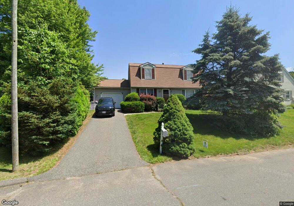
20 Laurelwood Ln Springfield, MA 01118
Sixteen Acres NeighborhoodEstimated Value: $356,000 - $380,000
3
Beds
2
Baths
1,632
Sq Ft
$226/Sq Ft
Est. Value
About This Home
This home is located at 20 Laurelwood Ln, Springfield, MA 01118 and is currently estimated at $368,268, approximately $225 per square foot. 20 Laurelwood Ln is a home located in Hampden County with nearby schools including Arthur T Talmadge Elementary School, M Marcus Kiley Middle, and Springfield High School of Science and Technology.
Ownership History
Date
Name
Owned For
Owner Type
Purchase Details
Closed on
Nov 27, 1996
Sold by
Lipeles David M and Lipeles Jadwiga
Bought by
Toledo Hector F and Toledo Danielle M
Current Estimated Value
Purchase Details
Closed on
Dec 19, 1994
Sold by
Fhlmc
Bought by
Lipeles David M and Lipeles Jadwiga
Purchase Details
Closed on
Jul 28, 1994
Sold by
Brennan Robert W and Brennan Karen M
Bought by
Fhlmc
Purchase Details
Closed on
Dec 1, 1989
Sold by
Woodsborough Dev
Bought by
Brennan Robert W
Create a Home Valuation Report for This Property
The Home Valuation Report is an in-depth analysis detailing your home's value as well as a comparison with similar homes in the area
Home Values in the Area
Average Home Value in this Area
Purchase History
| Date | Buyer | Sale Price | Title Company |
|---|---|---|---|
| Toledo Hector F | $105,000 | -- | |
| Lipeles David M | $96,000 | -- | |
| Fhlmc | $119,000 | -- | |
| Brennan Robert W | $143,400 | -- |
Source: Public Records
Mortgage History
| Date | Status | Borrower | Loan Amount |
|---|---|---|---|
| Open | Brennan Robert W | $25,000 | |
| Open | Brennan Robert W | $103,020 |
Source: Public Records
Tax History Compared to Growth
Tax History
| Year | Tax Paid | Tax Assessment Tax Assessment Total Assessment is a certain percentage of the fair market value that is determined by local assessors to be the total taxable value of land and additions on the property. | Land | Improvement |
|---|---|---|---|---|
| 2025 | $4,489 | $286,300 | $57,200 | $229,100 |
| 2024 | $4,632 | $288,400 | $57,200 | $231,200 |
| 2023 | $4,082 | $239,400 | $54,400 | $185,000 |
| 2022 | $3,623 | $192,500 | $54,400 | $138,100 |
| 2021 | $3,631 | $192,100 | $49,500 | $142,600 |
| 2020 | $3,728 | $190,900 | $49,500 | $141,400 |
| 2019 | $3,462 | $175,900 | $49,500 | $126,400 |
| 2018 | $3,168 | $161,000 | $49,500 | $111,500 |
| 2017 | $3,250 | $165,300 | $49,500 | $115,800 |
| 2016 | $3,212 | $163,400 | $49,500 | $113,900 |
| 2015 | $3,110 | $158,100 | $49,500 | $108,600 |
Source: Public Records
Map
Nearby Homes
- 41 Kerry Dr
- 41 Hillside Dr
- 399 Elm St
- 15 Lynwood Rd
- 32 Lindsay Rd
- 111 Malibu Dr
- 82 Louis Rd
- 86 Talmadge Dr
- 331 Newhouse St
- 99 W Crystal Brook Dr
- 1815 Parker St
- 17 Skyridge Ln
- 17 Pebble Mill Rd
- 1680 Parker St
- 0 Apple Blossom Ln
- 767 S Branch Pkwy
- 54 Shady Brook Ln
- 65 Fair Oak Rd
- 43 Sunridge Dr
- 55 Allen St
- 12 Laurelwood Ln
- 28 Laurelwood Ln
- 31 Greentree Cir
- 180 Ramblewood Dr
- 25 Laurelwood Ln
- 188 Ramblewood Dr
- 23 Greentree Cir
- 37 Greentree Cir
- 11 Laurelwood Ln
- 34 Laurelwood Ln
- 202 Ramblewood Dr
- 5 Greentree Cir
- 39 Laurelwood Ln
- 210 Ramblewood Dr
- 185 Ramblewood Dr
- 177 Ramblewood Dr
- 45 Laurelwood Ln
- 20 Greentree Cir
- 201 Ramblewood Dr
- 218 Ramblewood Dr