20 Lawrence Rd Unit 15 Rowley, MA 01969
Estimated Value: $358,000 - $518,000
2
Beds
2
Baths
1,130
Sq Ft
$358/Sq Ft
Est. Value
About This Home
This home is located at 20 Lawrence Rd Unit 15, Rowley, MA 01969 and is currently estimated at $405,087, approximately $358 per square foot. 20 Lawrence Rd Unit 15 is a home located in Essex County with nearby schools including Triton Regional High School, Clark School, and North Shore Montessori School.
Ownership History
Date
Name
Owned For
Owner Type
Purchase Details
Closed on
Jun 6, 2006
Sold by
Curry Jennifer D and Curry Josiah J
Bought by
Wedge Judith A
Current Estimated Value
Purchase Details
Closed on
Oct 12, 2005
Sold by
Gold Ruthanne and Gold Stephen J
Bought by
Curry Josiah J and Curry Jennifer D
Home Financials for this Owner
Home Financials are based on the most recent Mortgage that was taken out on this home.
Original Mortgage
$189,000
Interest Rate
5.78%
Mortgage Type
Purchase Money Mortgage
Create a Home Valuation Report for This Property
The Home Valuation Report is an in-depth analysis detailing your home's value as well as a comparison with similar homes in the area
Home Values in the Area
Average Home Value in this Area
Purchase History
| Date | Buyer | Sale Price | Title Company |
|---|---|---|---|
| Wedge Judith A | $246,250 | -- | |
| Curry Josiah J | $239,000 | -- |
Source: Public Records
Mortgage History
| Date | Status | Borrower | Loan Amount |
|---|---|---|---|
| Previous Owner | Curry Josiah J | $189,000 |
Source: Public Records
Tax History Compared to Growth
Tax History
| Year | Tax Paid | Tax Assessment Tax Assessment Total Assessment is a certain percentage of the fair market value that is determined by local assessors to be the total taxable value of land and additions on the property. | Land | Improvement |
|---|---|---|---|---|
| 2025 | $4,084 | $347,000 | $0 | $347,000 |
| 2024 | $4,018 | $332,100 | $0 | $332,100 |
| 2023 | $3,621 | $278,100 | $0 | $278,100 |
| 2022 | $3,594 | $245,800 | $0 | $245,800 |
| 2021 | $3,730 | $239,400 | $0 | $239,400 |
| 2020 | $3,649 | $234,200 | $0 | $234,200 |
| 2019 | $3,172 | $216,100 | $0 | $216,100 |
| 2018 | $2,932 | $201,100 | $0 | $201,100 |
| 2017 | $2,517 | $178,000 | $0 | $178,000 |
| 2016 | $2,326 | $162,000 | $0 | $162,000 |
| 2015 | $2,358 | $165,600 | $0 | $165,600 |
Source: Public Records
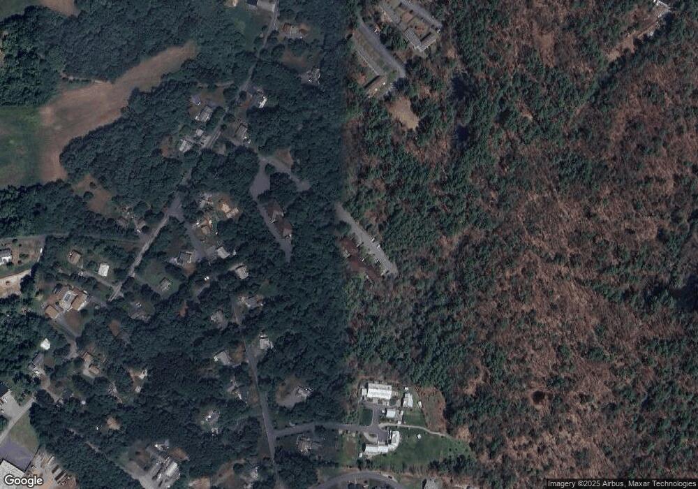
Map
Nearby Homes
- 76-78 Daniels Rd
- 29 Charlotte Rd
- 30 Christa Dr
- 9 Hawk Way
- 2 & 4 Tenney Ct
- 75 Country Club Way
- 8 Longmeadow Dr Unit 14
- 16 Killam Hill Rd
- 41 Searle St
- 14 Pond St
- 1 Court Ln
- 304-312 Wethersfield St
- 308 & 312 Wethersfield St
- 278 Central St
- 218 Georgetown Rd
- 3 Choate Ln
- 480 Newburyport Turnpike
- 460-472 Newburyport Turnpike
- 196 Country Club Way
- 34 Woodcrest Rd
- 20 Lawrence Rd Unit 16
- 20 Lawrence Rd Unit 14
- 20 Lawrence Rd Unit 12
- 20 Lawrence Rd Unit 11
- 20 Lawrence Rd Unit 10
- 20 Lawrence Rd Unit 9
- 20 Lawrence Rd Unit 8
- 20 Lawrence Rd Unit 7
- 20 Lawrence Rd Unit 6
- 20 Lawrence Rd Unit 4
- 20 Lawrence Rd Unit 3
- 20 Lawrence Rd Unit 1
- 20 Lawrence Rd Unit 20-3
- 20 Lawrence Rd Unit 5
- 20 Lawrence Rd
- 20 Lawrence Rd Unit 3 - 2
- 20 Lawrence Rd Unit 11/ 20
- 15 Lawrence Rd Unit 32
- 15 Lawrence Rd Unit 31
- 15 Lawrence Rd Unit 30