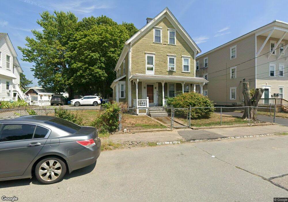
20 Lawrence St Taunton, MA 02780
Whittenton NeighborhoodEstimated Value: $466,000 - $574,000
3
Beds
2
Baths
2,576
Sq Ft
$202/Sq Ft
Est. Value
About This Home
This home is located at 20 Lawrence St, Taunton, MA 02780 and is currently estimated at $520,428, approximately $202 per square foot. 20 Lawrence St is a home located in Bristol County with nearby schools including Benjamin Friedman Middle School, Taunton High School, and Our Lady of Lourdes School.
Ownership History
Date
Name
Owned For
Owner Type
Purchase Details
Closed on
Oct 22, 2019
Sold by
Cleary James H and Cleary Maryellen
Bought by
Cleary Ft
Current Estimated Value
Purchase Details
Closed on
Jan 9, 1984
Bought by
Cleary James H and Cleary Maryellen
Create a Home Valuation Report for This Property
The Home Valuation Report is an in-depth analysis detailing your home's value as well as a comparison with similar homes in the area
Home Values in the Area
Average Home Value in this Area
Purchase History
| Date | Buyer | Sale Price | Title Company |
|---|---|---|---|
| Cleary Ft | -- | -- | |
| Cleary James H | -- | -- |
Source: Public Records
Mortgage History
| Date | Status | Borrower | Loan Amount |
|---|---|---|---|
| Previous Owner | Cleary James H | $35,000 | |
| Previous Owner | Cleary James H | $15,000 |
Source: Public Records
Tax History Compared to Growth
Tax History
| Year | Tax Paid | Tax Assessment Tax Assessment Total Assessment is a certain percentage of the fair market value that is determined by local assessors to be the total taxable value of land and additions on the property. | Land | Improvement |
|---|---|---|---|---|
| 2025 | $4,457 | $407,400 | $93,800 | $313,600 |
| 2024 | $3,990 | $356,600 | $93,800 | $262,800 |
| 2023 | $3,885 | $322,400 | $93,800 | $228,600 |
| 2022 | $3,721 | $282,300 | $78,100 | $204,200 |
| 2021 | $3,560 | $250,700 | $71,000 | $179,700 |
| 2020 | $3,387 | $227,900 | $71,000 | $156,900 |
| 2019 | $3,207 | $203,500 | $71,000 | $132,500 |
| 2018 | $3,168 | $201,500 | $70,600 | $130,900 |
| 2017 | $2,823 | $179,700 | $67,000 | $112,700 |
| 2016 | $2,735 | $174,400 | $65,000 | $109,400 |
| 2015 | $2,711 | $180,600 | $66,000 | $114,600 |
| 2014 | $2,614 | $178,900 | $62,600 | $116,300 |
Source: Public Records
Map
Nearby Homes
- 3 4th Ave
- 3 4th Ave Unit 1
- 3 4th Ave Unit 2
- 43 Avon St
- 0 Whittenton St
- 27 Monroe St
- 12 Oxford St
- 28 Madison St
- 22 Garfield St
- 9 Jefferson St
- 96 Danforth St Unit 49
- 22 John St Unit 22
- 214 Eldridge St
- 71 Eldridge St
- 6 Makepeace Ave
- 9 Abbey Ln
- 110 Eldridge St Unit B
- 12 Lisa Dr
- 17 Lisa Dr
- 0 Eldridge St Unit 73454842
- 22 Lawrence St
- 18 Lawrence St
- 24 Lawrence St
- 17 State St
- 17 State St Unit 2
- 17 State St Unit 1
- 16 Lawrence St
- 11 1/2 Matteson Ln
- 11 Matteson Ln
- 23 Lawrence St
- 23 Lawrence St Unit 1
- 11.5 Matteson Ln
- 15 State St
- 15 State St Unit 1
- 25 Lawrence St
- 25 Lawrence St Unit 2
- 25 Lawrence St Unit 1
- 19 Lawrence St
- 19 Lawrence St Unit 1
- 21 Lawrence St